
Cooler weekend ahead with a chance for light showers
Increased temperatures and rain chances next week
Go Deeper.
Create an account or log in to save stories.
Like this?
Thanks for liking this story! We have added it to a list of your favorite stories.


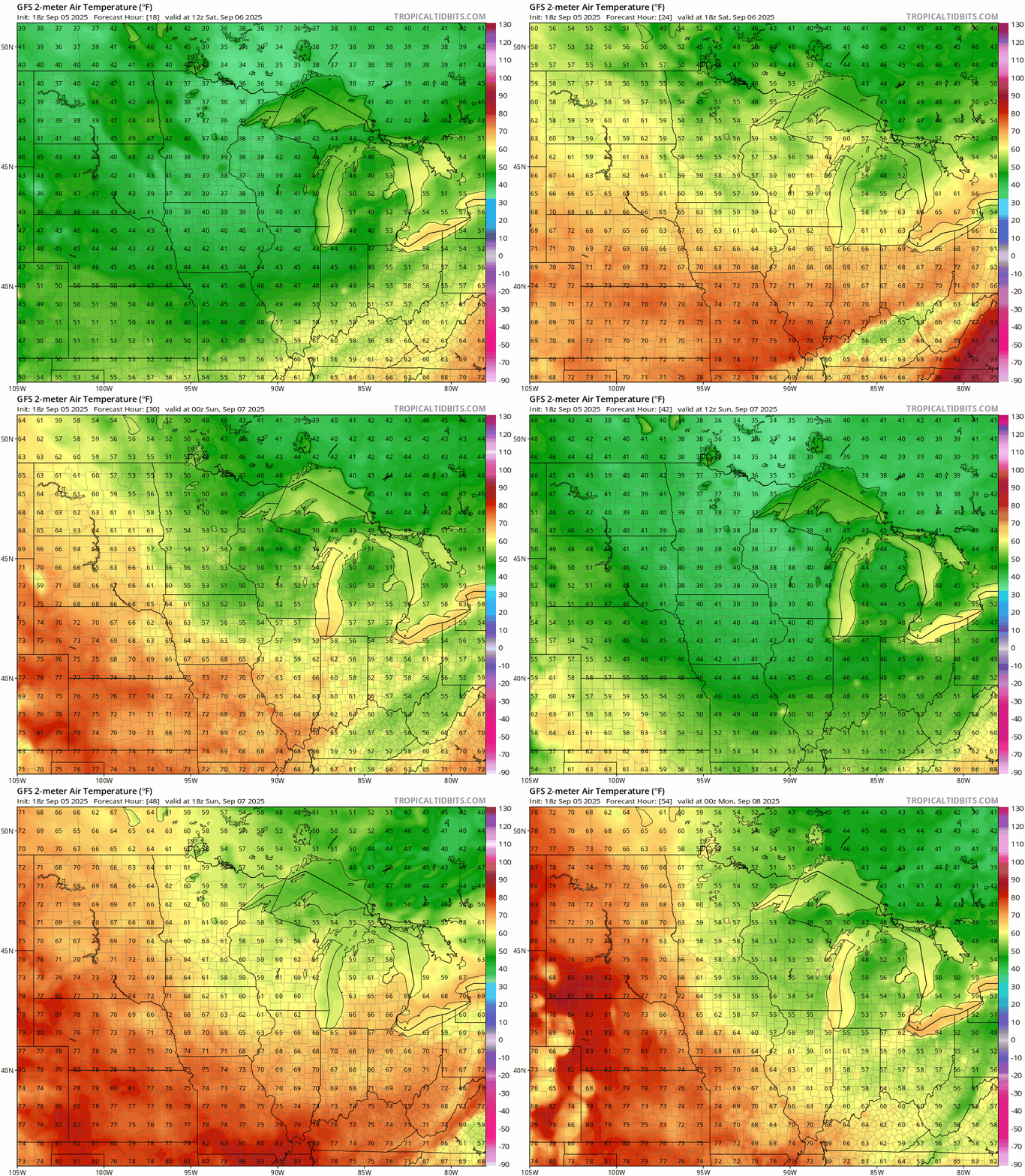
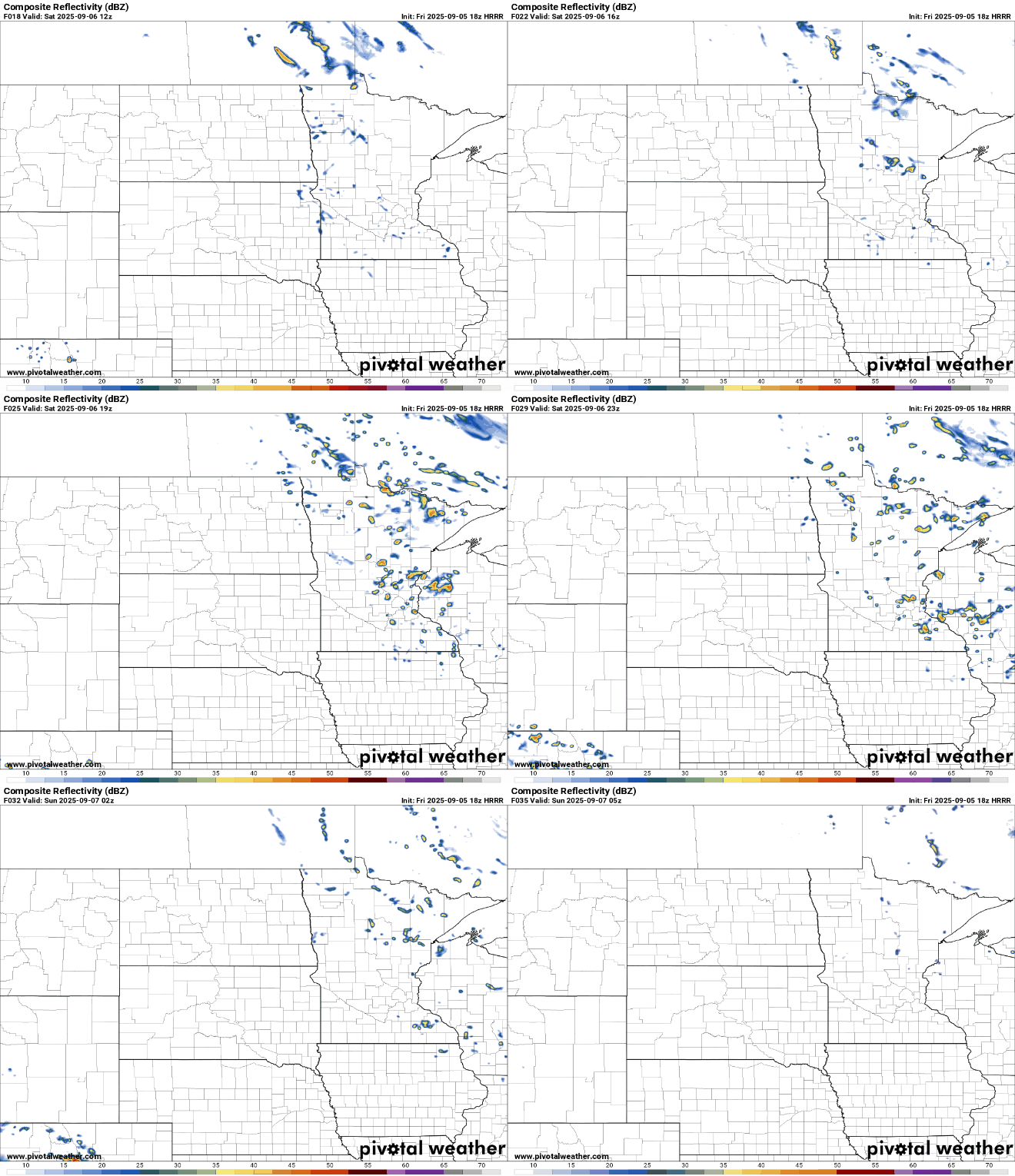
Expect cooler conditions this weekend with temperatures running 10 to 15 degrees below average. Look for occasional peeks of sunshine but also isolated rain chances on Saturday.
A warming trend is forecast to return early next week, bringing temperatures back closer to seasonal norms.
Cool weekend ahead
Our cooler Canadian air mass will stick around through the first weekend of September. Friday night lows are expected to drop into the mid-40s in the Twin Cities with temperatures dipping into the 30s and 40s across much of the state.

A frost advisory is in effect for the Northland from 1 a.m. to 9 a.m. Saturday as temperatures are expected to drop into the mid-30s.
Turn Up Your Support
MPR News helps you turn down the noise and build shared understanding. Turn up your support for this public resource and keep trusted journalism accessible to all.

This weekend will feature high temperatures in the lower to mid-60s Saturday and Sunday.
A mix of clouds and sun is expected on Saturday with a brief chance of isolated showers, mainly across eastern Minnesota and into western Wisconsin.
Sunday morning could bring areas of patchy frost, especially with clear skies and light winds in place. Additional frost advisories may be needed.
Monday will bring a noticeable warmup with highs in the low to mid-70s.

A warming trend is expected through the first half of September with temperatures gradually climbing and humidity increasing slightly as warmer air moves in from the south.
This setup could lead to scattered showers and a few thunderstorms by Monday afternoon and evening, followed by a cold front late Tuesday that may bring another round of rain or storms.

