
Chilly Saturday with spotty showers possible
Temperatures rebound into the 70s next week
Go Deeper.
Create an account or log in to save stories.
Like this?
Thanks for liking this story! We have added it to a list of your favorite stories.


A chilly Saturday brings a few isolated showers and a chance for patchy frost tonight, but a warming trend begins Sunday with highs returning to the 70s next week.
Chill in the air ending soon
The Hudson Bay low-pressure system, which has been influencing our weather lately, is finally moving out today, bringing an end to the persistent cold air we've been experiencing.

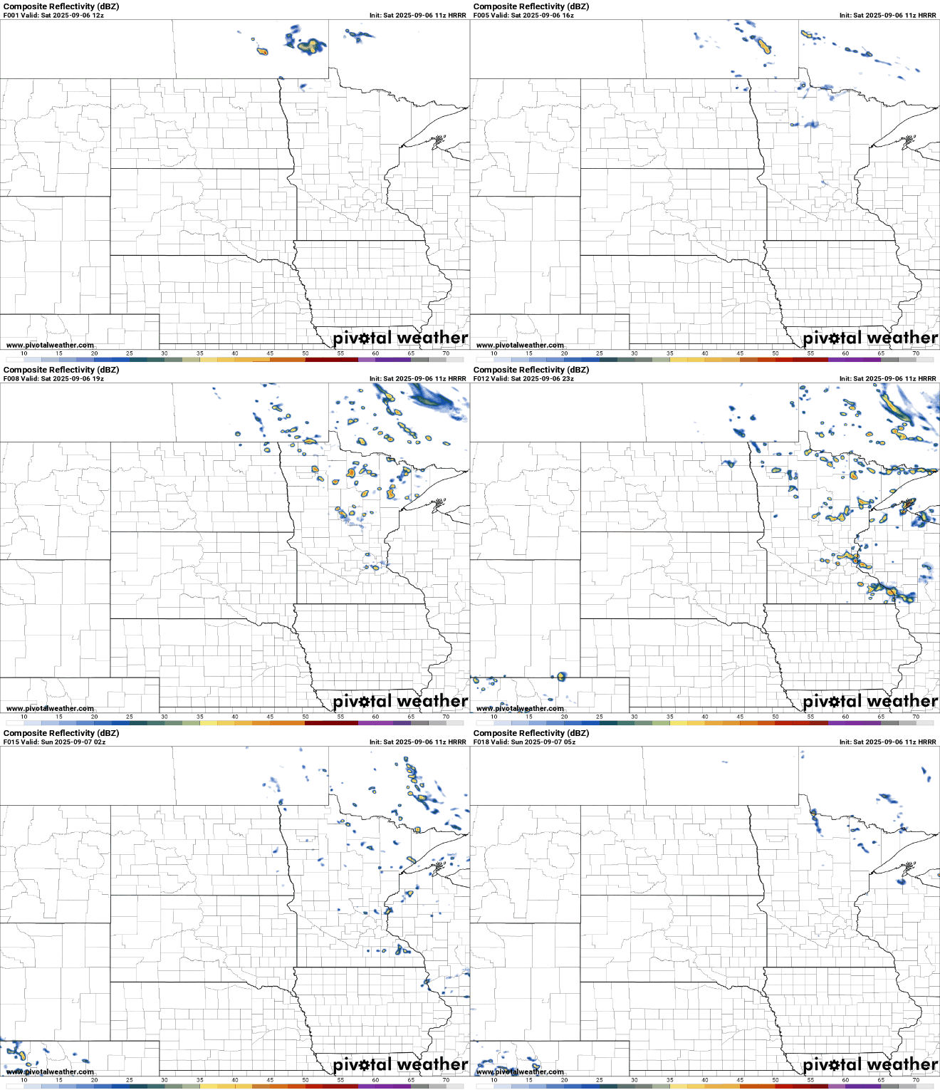
However, one final disturbance is expected to move into the Upper Midwest today, bringing just enough instability to trigger isolated to scattered rain showers, with a slight chance of a few rumbles of thunder. The highest rain chances will be across eastern Minnesota and western Wisconsin.
Turn Up Your Support
MPR News helps you turn down the noise and build shared understanding. Turn up your support for this public resource and keep trusted journalism accessible to all.
High temperatures on Saturday will stay on the cooler side, with readings in the low 60s across much of the area, and mid to upper 50s in central and northern Minnesota. Winds will be light, coming from the west-northwest at 5 to 10 mph.

High pressure will begin building in Saturday night, dominating the weather through the weekend. This will bring clear skies and light winds, which will lead to the development of patchy frost in areas of central and northern Minnesota.
Saturday night lows will fall into the low 40s in the core of the metro area, while surrounding suburbs could see temperatures dip into the upper 30s. Across the rest of the state, lows are expected to range from the low to mid-30s.

Sunday will bring more sunshine as surface high pressure settles near the region. With the cool airmass gradually moderating, temperatures will rise into the mid to upper 60s.


