
Seasonal shift with 70s returning to the forecast
Turning warmer and wetter with southerly flow
Go Deeper.
Create an account or log in to save stories.
Like this?
Thanks for liking this story! We have added it to a list of your favorite stories.


After a stretch of calm and cool weather, changes are on the way to start the new week. Seasonal temperatures will return, accompanied by rising humidity and increasing chances for rain early this week.
Warmer weather on the way
Skies will clear Sunday night as our high-pressure system shifts to the southeast. Overnight lows will fall into the upper 40s to low 50s, with northern Minnesota seeing cooler temperatures in the upper 30s to low 40s.

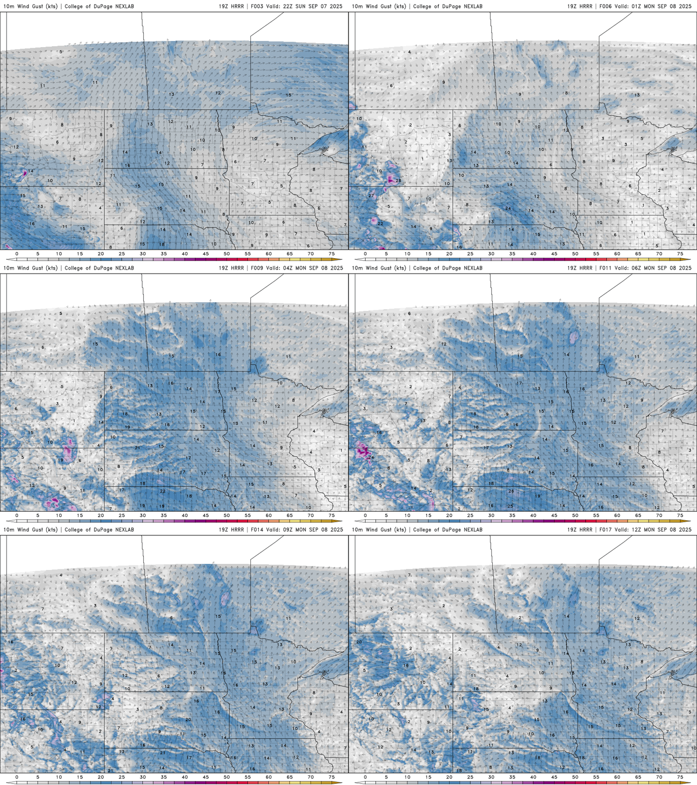
As warmer air moves in on southerly winds, some clouds may form late tonight into early Monday.
There’s a slight chance of light rain in southwest Minnesota overnight, but most areas will stay dry through the day Monday. Rain chances increase Monday evening, especially north of I-94, as a weak weather system moves in. Most locations can expect less than half an inch of rain, though isolated thunderstorms could bring heavier pockets of precipitation.
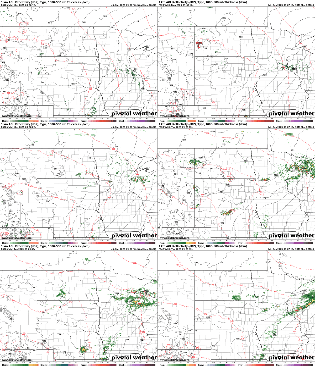
There’s a small chance for a few stronger storms, but the main impacts will likely be pockets of heavy rain and small hail.
Temperatures on Monday will climb back into the 70s, with dew points rising into the upper 50s to low 60s, making it feel a bit more humid.

Next week looks to be dominated by a narrow ridge of high pressure, though a few weak systems may pass through the Upper Midwest. The good news: temperatures will return to the 70s, bringing a more seasonable feel to the forecast.
Turn Up Your Support
MPR News helps you turn down the noise and build shared understanding. Turn up your support for this public resource and keep trusted journalism accessible to all.

