
Sunny and cool weather ahead of Monday's rain chance
Cool weather wraps up as seasonal temperatures return this week

Go Deeper.
Create an account or log in to save stories.
Like this?
Thanks for liking this story! We have added it to a list of your favorite stories.


Bright and crisp Sunday ahead with high pressure in control. Highs in the mid-60s today, with a warming trend into the 70s this week. Shower and thunderstorm chances return early next week.
Sunny Sunday ahead
Sunny skies and warmer temperatures are expected Sunday, with highs around 66 in the Twin Cities. Northern Minnesota will see highs in the lower to mid 60s, while southern parts of the state could reach the mid to upper 60s.

Our high pressure system will shift southeast on Monday, with winds turning southerly Sunday night into Monday. This wind shift will bring in some increased moisture with dew points returning to the upper 50s to low 60s.
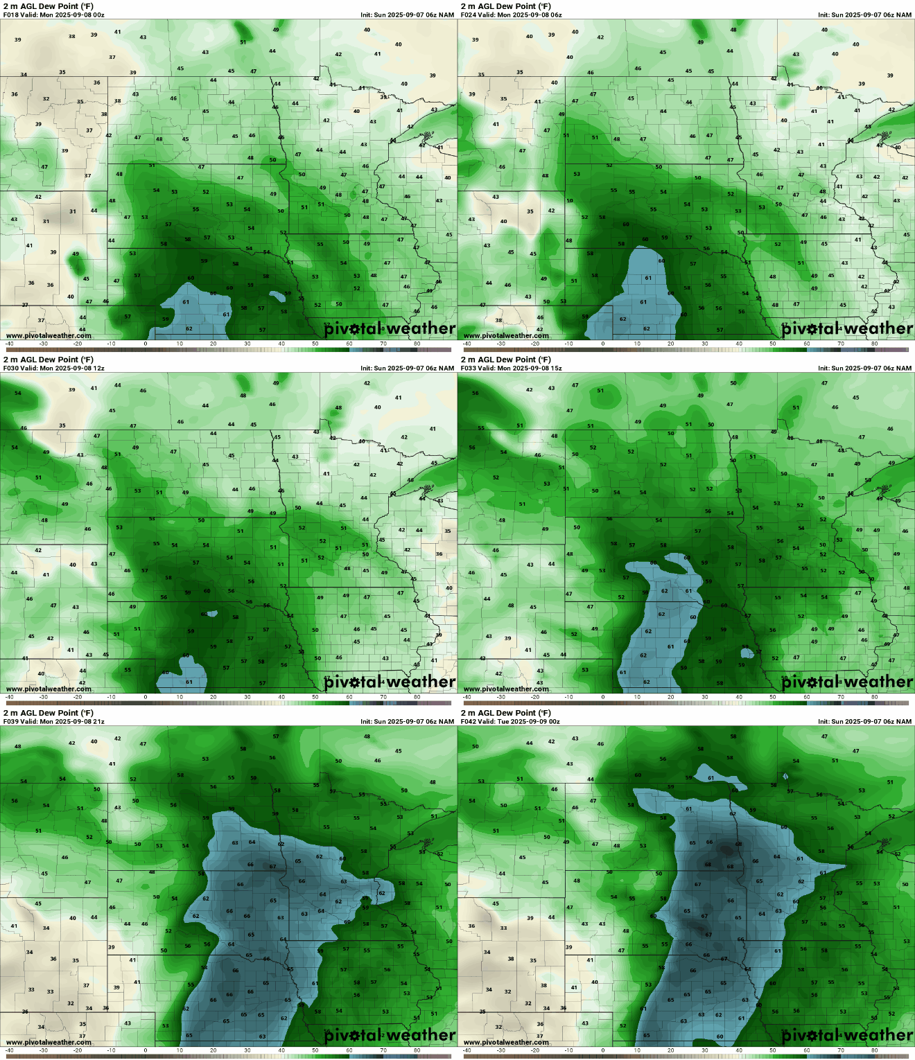
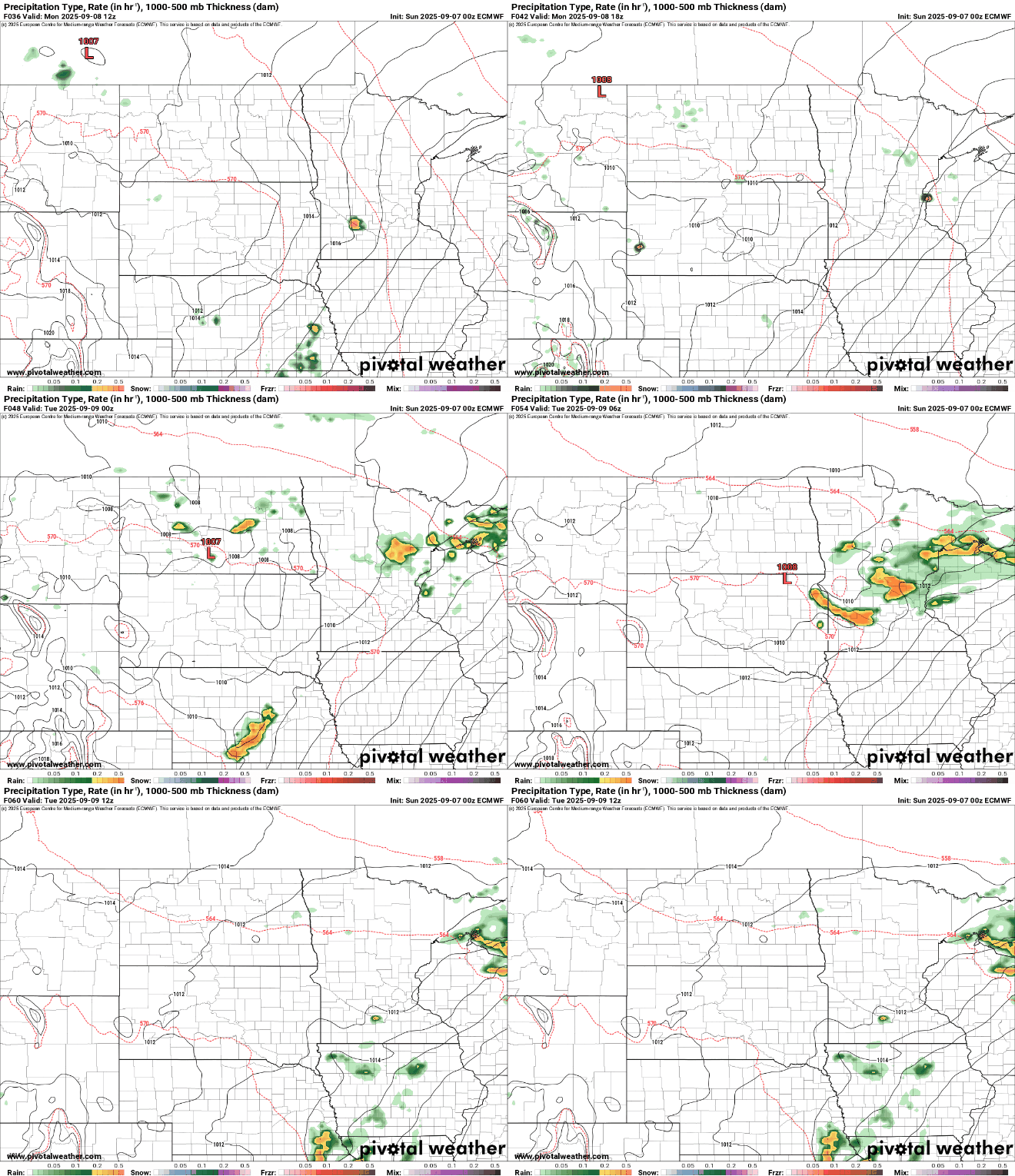
While a few spotty showers are possible early Monday morning, the better chance for rain and thunderstorms will arrive later Monday and continue into Tuesday morning. Some storms may contain embedded hail.
The rest of the workweek looks dry and warm, with highs in the upper 70s to low 80s. As we head into next weekend, a weather system from the west may bring rain chances back to the Upper Midwest.
Turn Up Your Support
MPR News helps you turn down the noise and build shared understanding. Turn up your support for this public resource and keep trusted journalism accessible to all.

