
Severe weather threat for Monday is low but notable
Warmer weather brings a chance for showers and thunderstorms

Go Deeper.
Create an account or log in to save stories.
Like this?
Thanks for liking this story! We have added it to a list of your favorite stories.


After a stretch of quiet weather, a marginal risk for severe storms returns Monday as a warm and humid air mass moves into the region. While the overall threat remains low, conditions could support isolated strong to severe storms, particularly during the late afternoon and evening hours.
Conditional but marginal risk for severe weather
After a recent stretch of cool weather, a warmer and more humid airmass is beginning to build into the Upper Midwest. Dew points are expected to rise throughout the day Monday, reaching the 50s and even low 60s across western portions of the state.
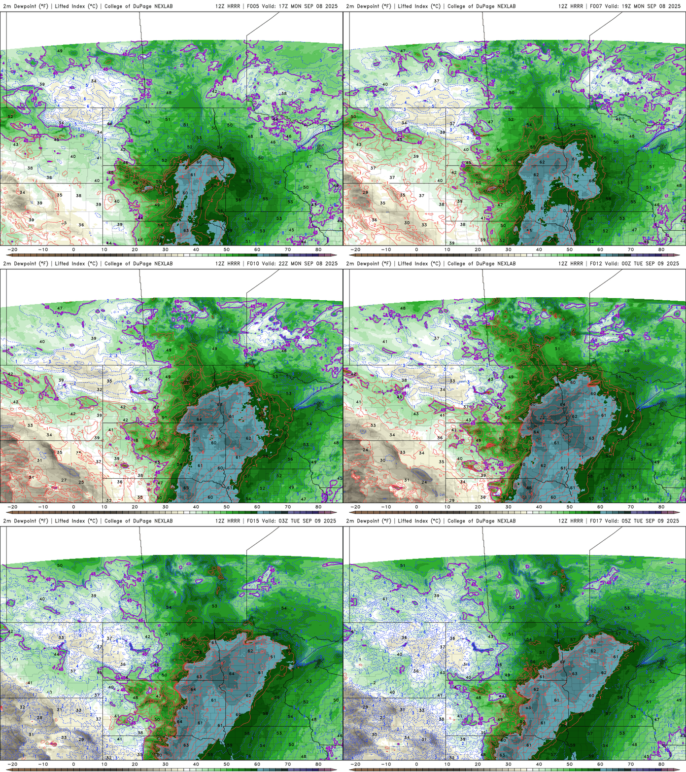
This warmer and more humid airmass could lead to the development of strong to potentially severe storms, primarily across west-central and north-central Minnesota. The stronger storms are not expected until late Monday afternoon, with showers continuing into early Tuesday morning.
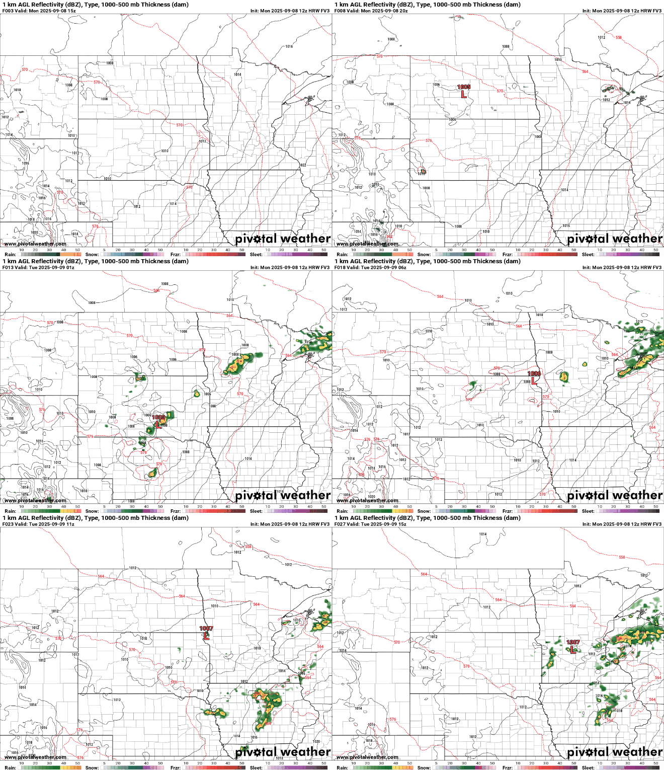
There is a marginal risk (level 1 out of 5) for severe weather stretching from west‑central Minnesota through the Brainerd Lakes area, according to the latest outlook from the Storm Prediction Center.
If storms do develop, the primary threats will be larger hail and the potential for heavy rainfall.

Rainfall amounts may top 1 inch in isolated areas near the western Iron Range and in north-central to northeastern Minnesota, potentially leading to localized flash flooding.

While the overall severe threat remains low, it’s still worth keeping an eye on the radar late Monday into the evening hours.
Turn Up Your Support
MPR News helps you turn down the noise and build shared understanding. Turn up your support for this public resource and keep trusted journalism accessible to all.

