
Unsettled Tuesday, trending warmer the rest of the week
Afternoon highs will reach the 80s by Thursday
Go Deeper.
Create an account or log in to save stories.
Like this?
Thanks for liking this story! We have added it to a list of your favorite stories.


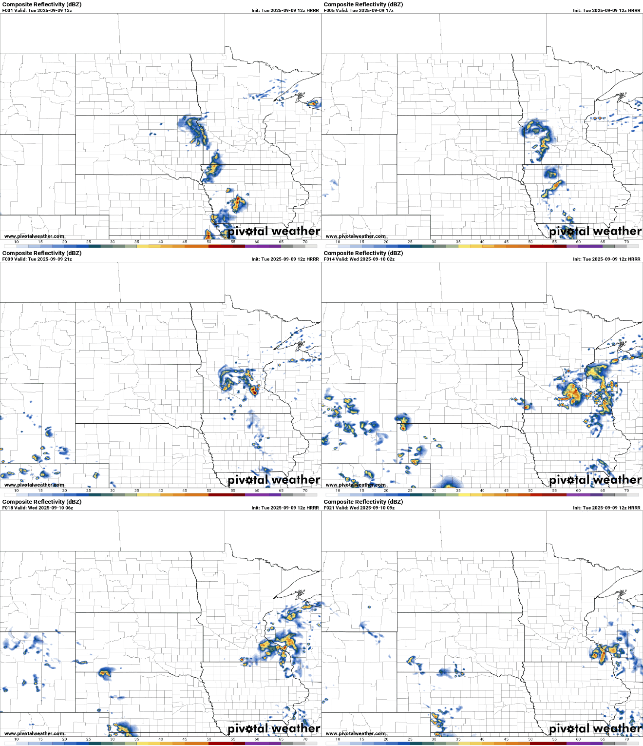
The warm air is certainly back. We’ll see highs in the 70s again Tuesday with 80s by Thursday. A disturbance will touch off spotty showers and thunder Tuesday during the day and into the evening.
Chance of thunder Tuesday with continued warmth
Warmer temperatures will again be with us Tuesday and for the rest of the week into the weekend at least. Afternoon highs on Tuesday will be in the upper 70s west to upper 60s northeast.

A disturbance moving across the state will give us more clouds than sun in southern Minnesota and continue to create spotty to scattered showers and some thunderstorms, especially in the morning and later in the afternoon across the southern half of the state.
We’ll likely see fog develop across much of central and northeastern Minnesota into northwestern Wisconsin Tuesday night into early Wednesday that should burn off through the morning hours Wednesday.
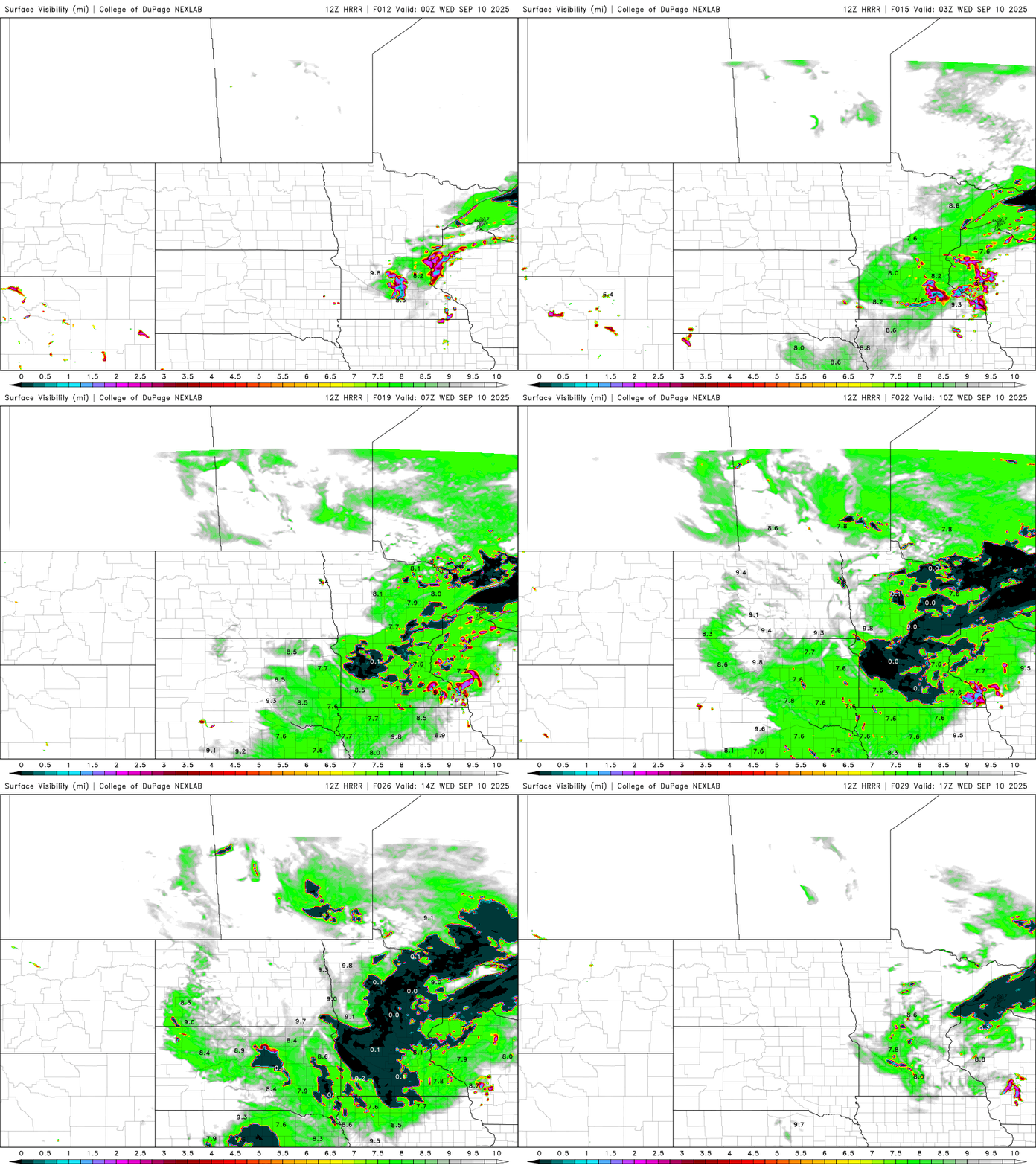
Wednesday will be brighter after some morning fog and lingering low clouds move out. Afternoon highs will be near 80 in southwestern Minnesota with 70s for most of the state.

Thursday will be even warmer with highs in the low 80s for southern Minnesota, setting us up for a streak of 80-degree highs into the weekend. We’ll also see the next chance at some thunder Friday and Saturday.

Turn Up Your Support
MPR News helps you turn down the noise and build shared understanding. Turn up your support for this public resource and keep trusted journalism accessible to all.

