Morning fog gives way to brighter skies and warmth
Temps in the 80s by the end of the week

Go Deeper.
Create an account or log in to save stories.
Like this?
Thanks for liking this story! We have added it to a list of your favorite stories.


After some morning fog burns off we’ll see brighter midday and afternoon skies. Temperatures will be warmer again, well into the 70s. Highs reach the 80s by week’s end.
Warm days ahead
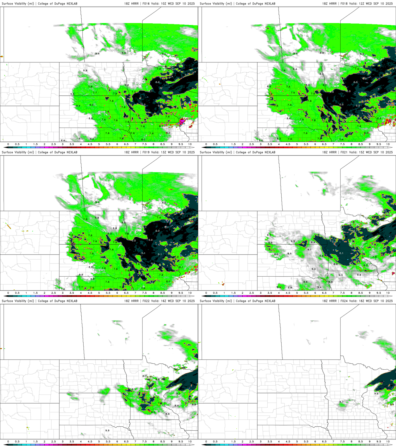
Many areas have reduced visibility due to fog to start the day with clearing skies overnight and increased dew points. We’ll see that fog burn off pretty quickly through the morning hours giving way to partly cloudy afternoon skies.
Brighter skies will lead to warmer temperatures today also. Most of the state will see highs well into the 70s.
Thursday will be a bit warmer with more sun and highs in the upper 70s with some low 80s in western and southwestern Minnesota.
Turn Up Your Support
MPR News helps you turn down the noise and build shared understanding. Turn up your support for this public resource and keep trusted journalism accessible to all.

As we end the week into the weekend things will heat up more. By Saturday southwestern Minnesota could see 90-degree highs.

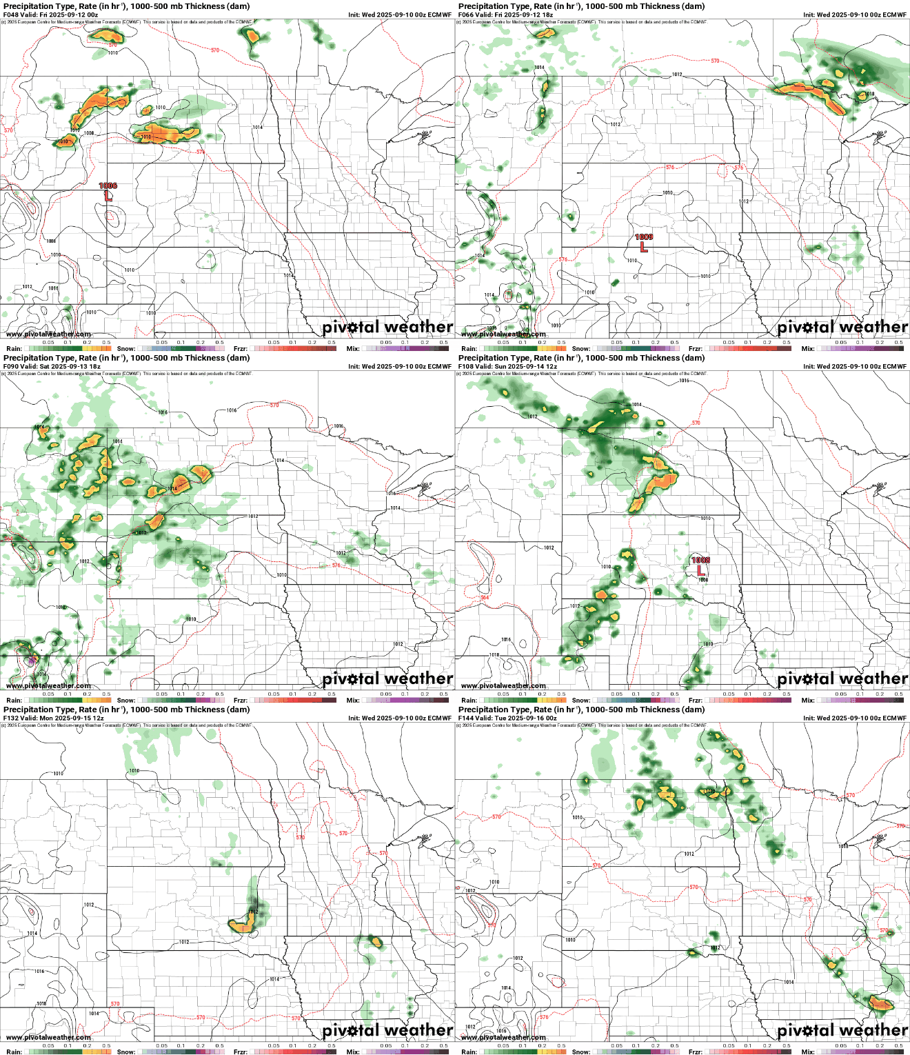
We’ll also see a more unsettled pattern start to develop as the weekend progresses with at least some isolated thunderstorm chances, especially by late Sunday.
An upper-level ridge of generally warm, dry weather will start to shift east and that will allow at least minor disturbances to move through.

Northern Minnesota will see some spotty to scattered storms Friday and the rest of the state will see isolated activity over the weekend with a potential uptick in activity by Monday as the ridge moves farther east.