
Hot and muggy weekend ahead
Highs will be near 90 for southern Minnesota

Go Deeper.
Create an account or log in to save stories.
Like this?
Thanks for liking this story! We have added it to a list of your favorite stories.


After some patchy fog, we’ll see partly cloudy skies Friday and temperatures more typical of July than September. The heat and humidity will persist into the weekend.
Anomalous warmth for the weekend
After some patchy fog Friday morning, we’ll have partly cloudy skies and very warm conditions across central and southern Minnesota. Afternoon highs will be in the 80s in those areas. Northern Minnesota will see highs mainly in the 70s.

A disturbance is touching off scattered showers and thunderstorms for northern Minnesota Friday into Friday night. Southern Minnesota should remain mostly dry during most of the day, although some spotty showers or thunder is possible late Friday.
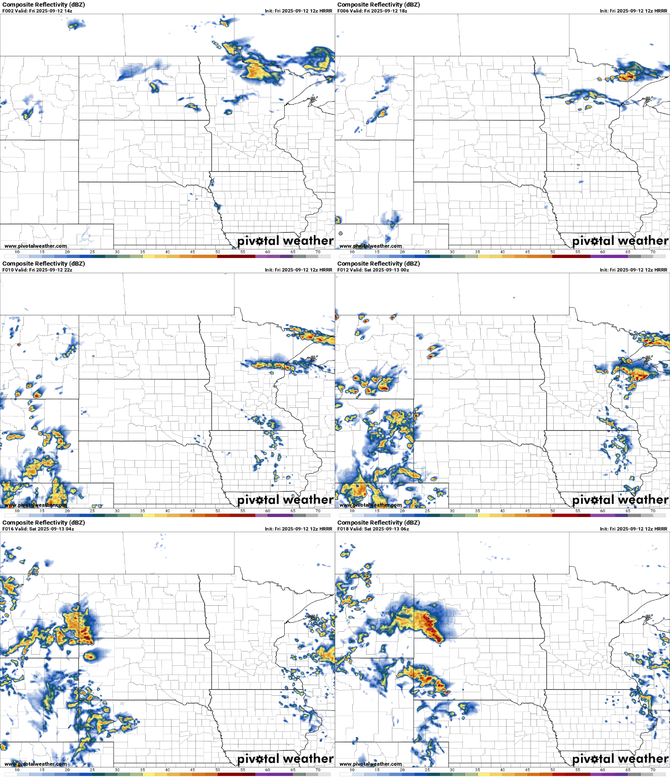
The weekend will be downright hot. Highs will be in the upper 80s to near 90 degrees for southern Minnesota with dew points in the 60s and even near 70 at times.

The chances of thunderstorms increase later in the weekend into next week as an upper-level trough and low slowly dig in from the west into the region.

Temperatures will remain very warm and well above normal into most of next week. There are signs of a pattern shift toward more seasonable (cooler) temps by next weekend.

Turn Up Your Support
MPR News helps you turn down the noise and build shared understanding. Turn up your support for this public resource and keep trusted journalism accessible to all.

