
July-like weather persists into midweek
Cooler air arrives late week
Go Deeper.
Create an account or log in to save stories.
Like this?
Thanks for liking this story! We have added it to a list of your favorite stories.


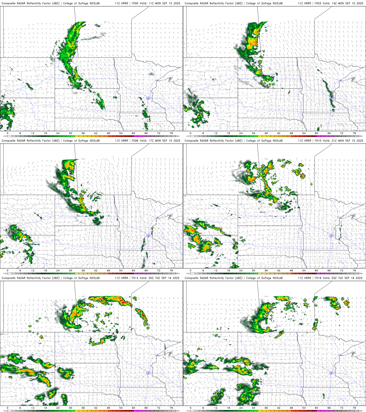
We’ll have spotty showers and thunder Monday with warm, humid conditions. The pattern remains July-like through midweek before seasonably cool air moves in.
Warm, humid weather persists into midweek
We’ll have a mix of clouds and sun Monday due to some unsettled weather producing spotty showers and thunder. It will still be very warm and muggy with highs in the 80s for most.

We’ll see spotty to scattered showers and thunder mainly in the morning hours and potentially later in the day with some redevelopment.
Tuesday will be mainly dry and hot with lots of sun. Highs will be in the upper 80s to near 90 in southern Minnesota.

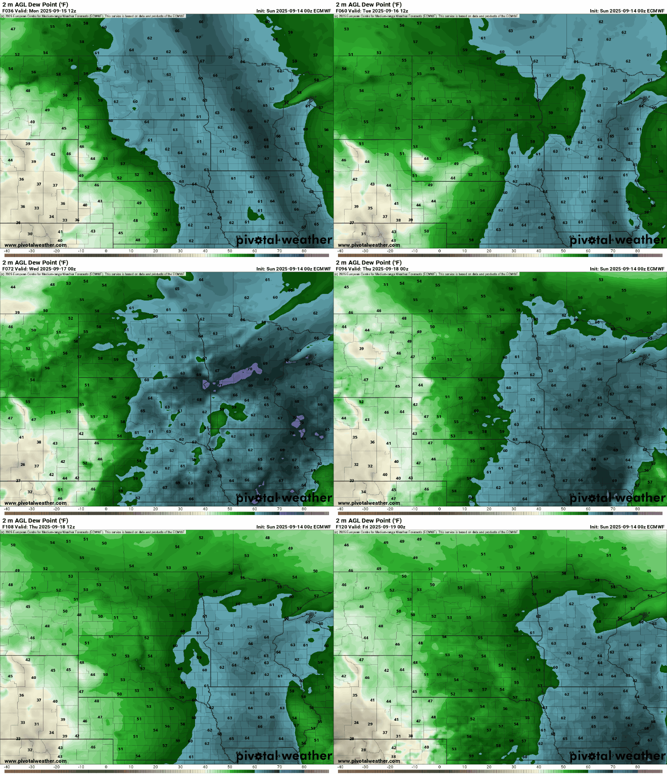
Dew points will remain unusually high for this time of year in the 60s to near 70 at times right through Thursday. That, combined with highs in the 80s through midweek, will make it feel more like July than mid-September.
A cool front moves through later this week, touching off more showers Wednesday into Thursday and Friday while bringing in cooler air. Late Wednesday into Thursday could be quite wet with lingering unsettled weather into the weekend.
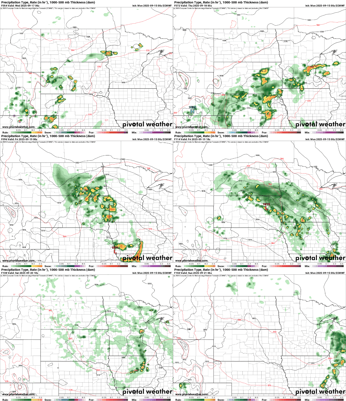
Temperatures will be near-normal by the end of the week with highs in the low 70s south to 60s north.

Turn Up Your Support
MPR News helps you turn down the noise and build shared understanding. Turn up your support for this public resource and keep trusted journalism accessible to all.

