
Last hot day before a pattern shift develops midweek
Rain and cooler air for late week

Go Deeper.
Create an account or log in to save stories.
Like this?
Thanks for liking this story! We have added it to a list of your favorite stories.


Tuesday will be a hot and humid one with highs running 10 to 20 degrees above normal. A cool front and upper low will bring rain and cooler air by late Wednesday into the weekend.
Hot Tuesday; rain, cooler air later this week
Tuesday will be one of our warmest days in our latest stretch of summerlike weather. Highs will be in the low 90s across southwestern Minnesota with 80s for most of the state. Dew points will be muggy in the 60s to near 70 at times.

There could be a couple of isolated storms in northern and western Minnesota well ahead of a slowly moving cool front. There will be a slightly better chance of a few storms in those areas Tuesday evening and overnight.
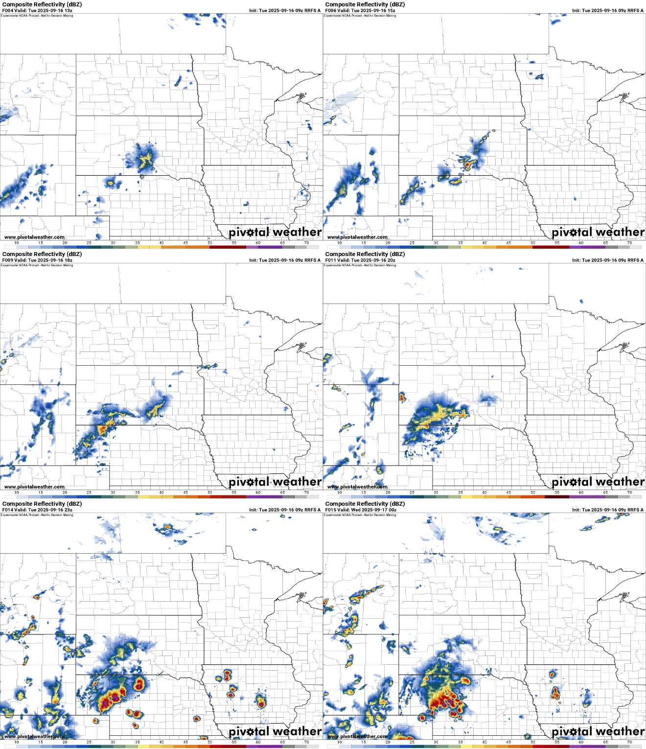
Any storm that does develop could become strong or severe, although the risk is low. There’s a marginal risk (level 1 of 5) forecast for western and northern Minnesota Tuesday into Tuesday night.
Turn Up Your Support
MPR News helps you turn down the noise and build shared understanding. Turn up your support for this public resource and keep trusted journalism accessible to all.

Wednesday will still be warm ahead of increasing cloud cover and an upper low and cold front bringing changes for later in the week.

A slowly moving upper low and cool front will make its way across the state north to south late Wednesday into Thursday and Friday. It will touch off waves of showers and thunderstorms starting late Wednesday with the potential for some heavy rainfall totals.
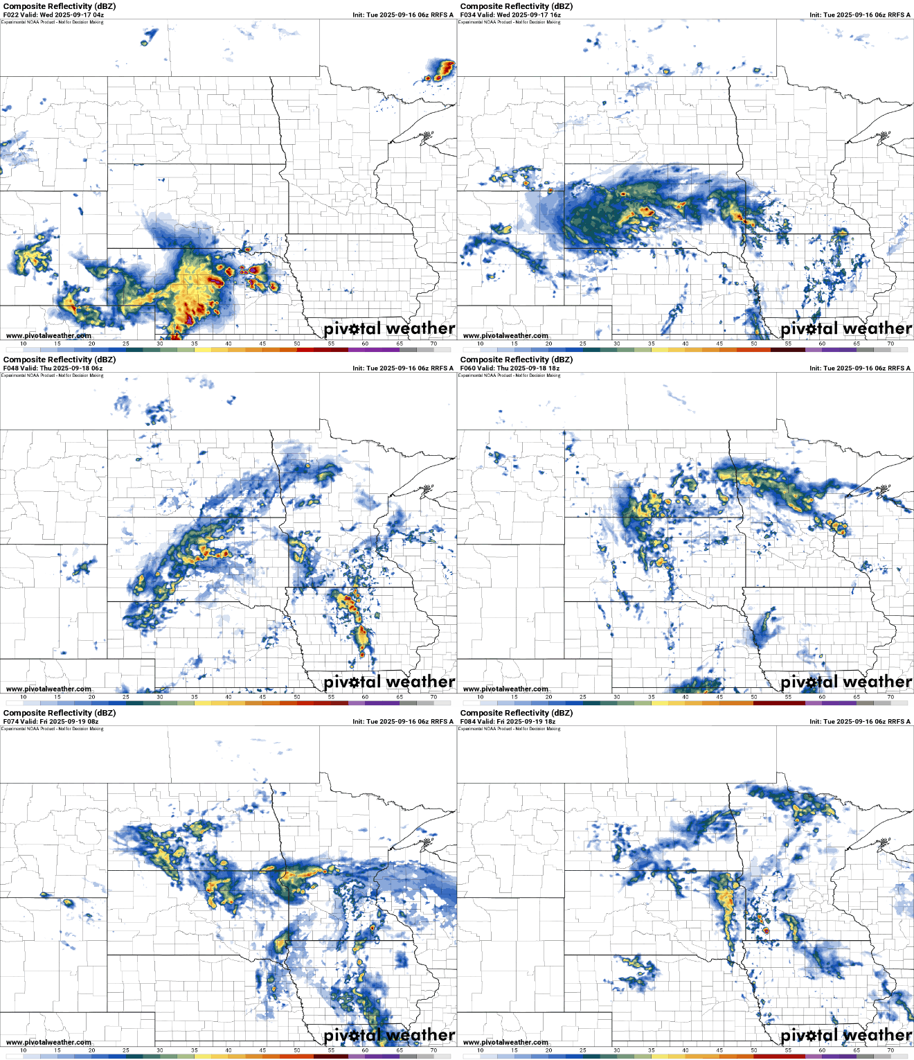
The waves of moisture could add up to 1 to 2 inches of rainfall into the start the weekend. Most of southern Minnesota is actually a bit behind for September rainfall, although the soil still has plenty of moisture from a wet summer.

Cooler air makes its way into the region to end the week and for the last official weekend of summer. Highs will be mostly in the 60s and 70s.


