
More unsettled pattern develops along with slow cooling trend
Temps will be cooler but still above normal by the weekend
Go Deeper.
Create an account or log in to save stories.
Like this?
Thanks for liking this story! We have added it to a list of your favorite stories.


It will still be warm and muggy Wednesday but a slowly moving system will bring on and off rain chances into the weekend along with a slow drop in temperatures.
Temps cool slowly; numerous rain, thunder chances
We begin an unsettled pattern Wednesday but it will still be warm and muggy after Tuesday’s extreme heat. Afternoon highs should be well into the 80s across southern Minnesota with sunshine to start, but clouds will increase this afternoon.

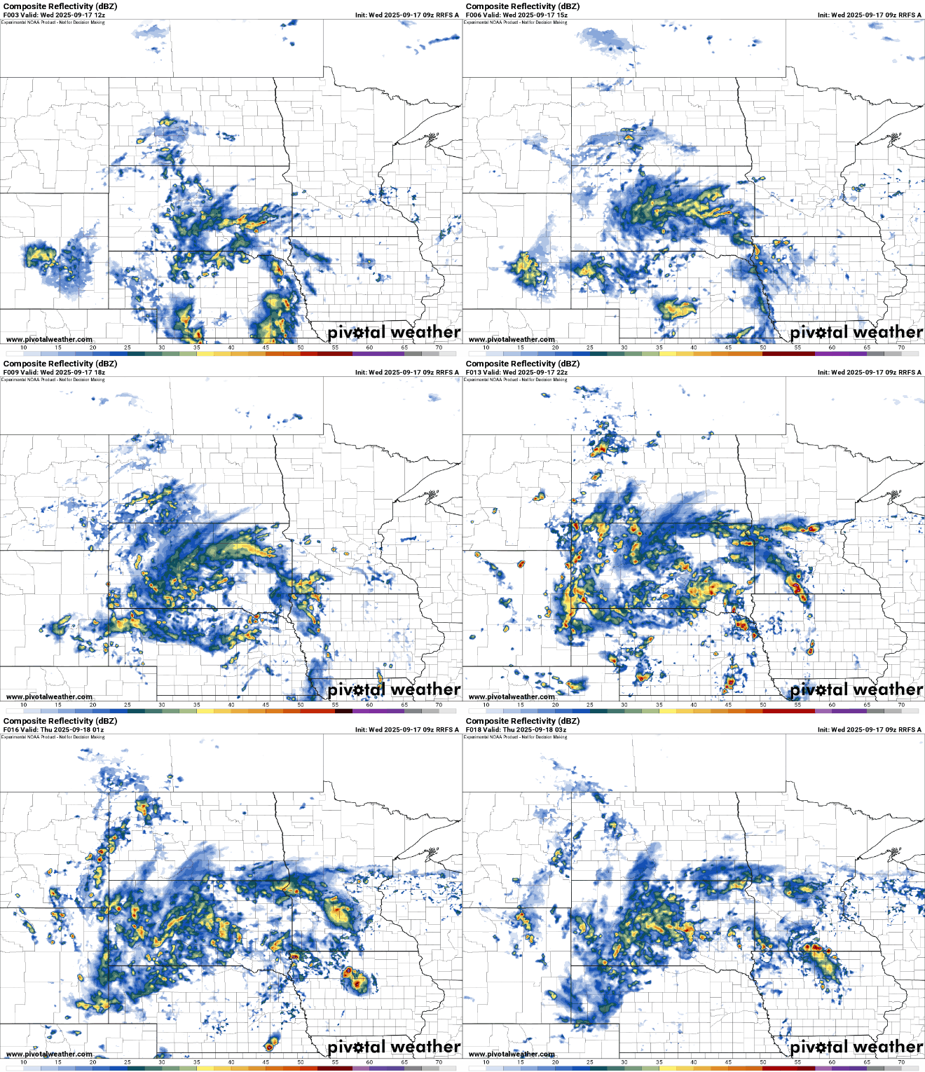
We’ll have some spotty showers and thunder Wednesday morning across portions of central and southern Minnesota.
More scattered showers and thunderstorms will continue to develop across southwestern and west-central Minnesota expanding east through the day into Wednesday night and early Thursday.
Turn Up Your Support
MPR News helps you turn down the noise and build shared understanding. Turn up your support for this public resource and keep trusted journalism accessible to all.
Additional waves of moisture will move through the region with this same, slowly moving upper-level low and associated trailing cool front into the weekend. No one day will be a washout but there’s a decent chance of measurable rainfall each of the next several days.
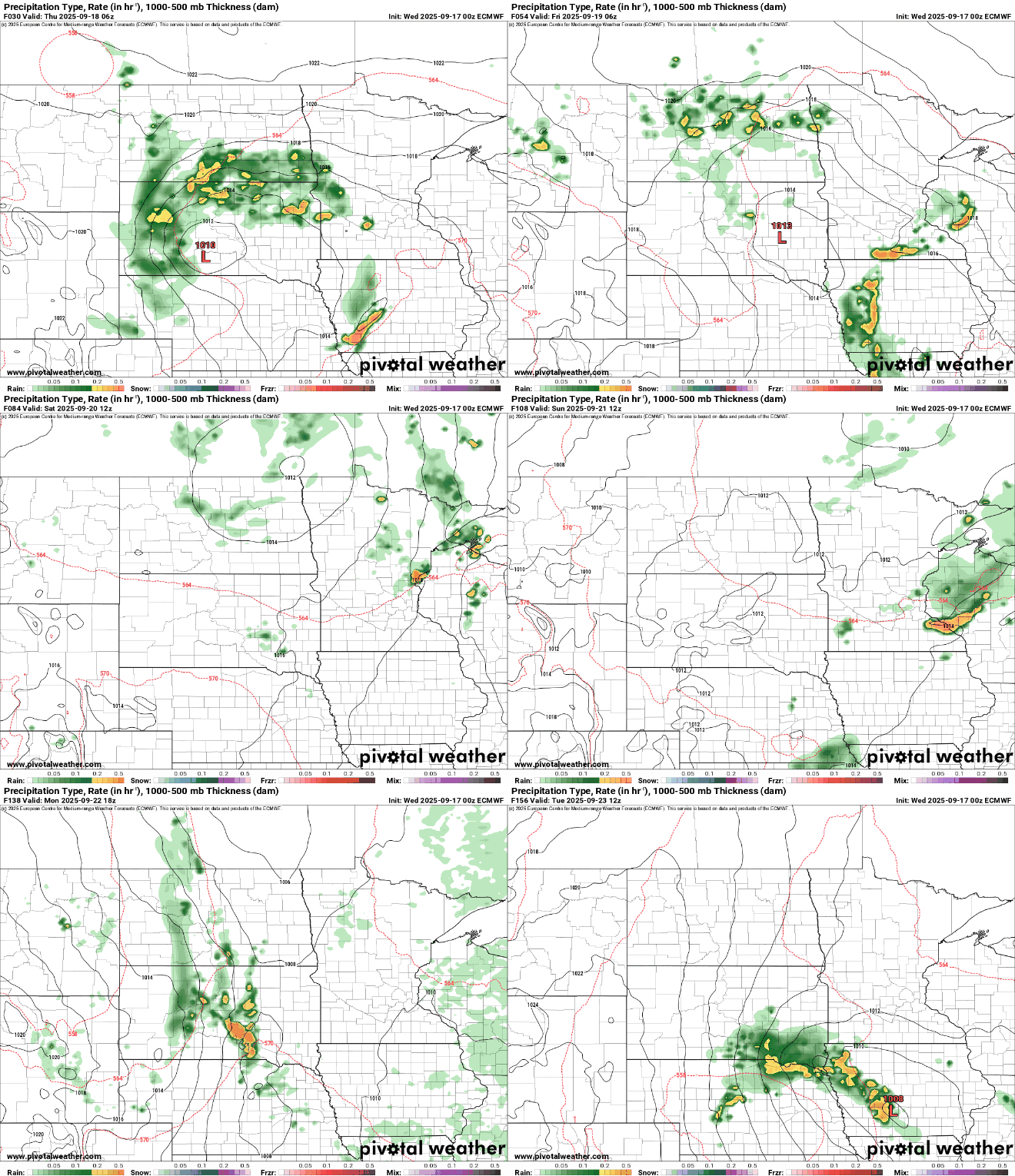
Total rainfall Wednesday through Monday will be in the 1 to 2-inch range for many. Locally higher amounts will be possible if not likely.

The system will also cool off our temperatures slowly but surely by the weekend. Highs by Saturday will be in the mid-70s across southern Minnesota to mid-60s north.

Those readings are still warmer than normal however by about 2 to 5 degrees.
With readings into next week remaining in the 2 to 5 degree above normal range, September will likely end up warmer than normal, yet again.
Last year was the hottest September on record, and only one September in the last decade has been cooler than normal and only by about half a degree in 2014.


