
More rain chances ahead with cooler temperatures Friday, Saturday
Periodic chances of rain this weekend
Go Deeper.
Create an account or log in to save stories.
Like this?
Thanks for liking this story! We have added it to a list of your favorite stories.


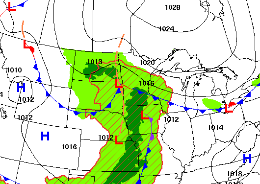
A slowly moving upper low will continue to keep periodic rain chances in the forecast through the weekend. We’ll also see cooler air Friday and Saturday.
Slowly moving system keeps periodic chances of rain around
Despite the increased cloud cover and some instability, afternoon highs will still be warm and well above normal for southern Minnesota — near 80 degrees. Cooler temperatures start to settle in north with highs in the 60s there.
It will also be muggy again with dew points in the 60s across southern Minnesota.

Most showers and some thunder will be confined to western Minnesota during the day Thursday but we’ll see a pulse of moisture and energy from the south move north late in the day and evening producing more activity for central and southern Minnesota Thursday.
Turn Up Your Support
MPR News helps you turn down the noise and build shared understanding. Turn up your support for this public resource and keep trusted journalism accessible to all.
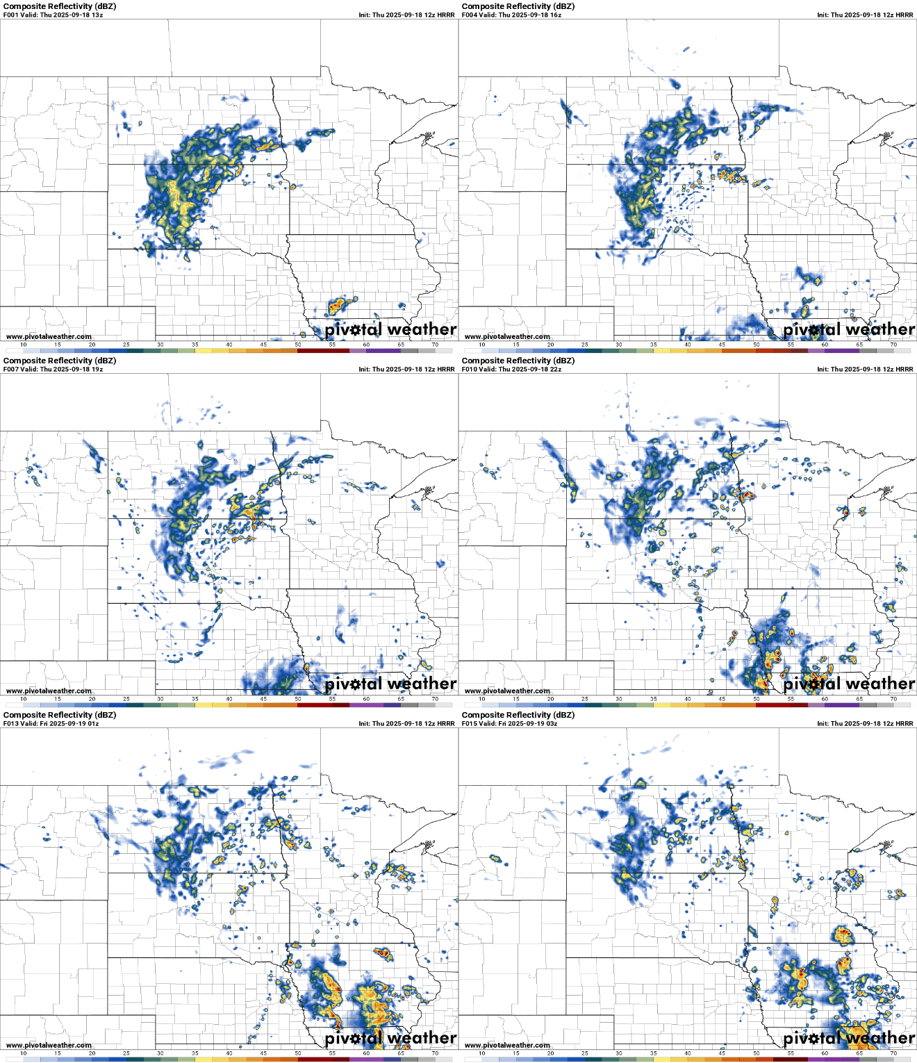
There will be additional, occasional chances of showers as areas of instability pivot around the slowly moving upper level low as it makes its way east into the weekend.
Friday afternoon, evening and overnight look to be the periods with the most numerous scattered showers. Many areas could see 1 to 2 inches of rain in total over several days.
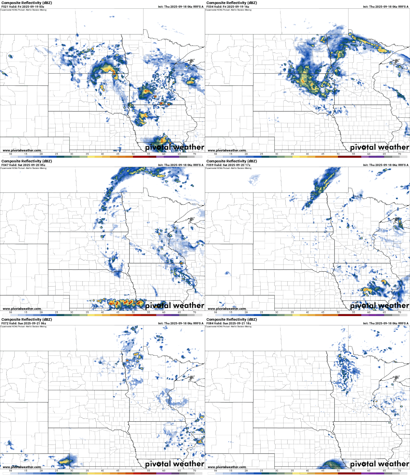
Temperatures will also finally be a bit cooler, although still slightly warmer than normal Friday and Saturday.

Temperatures warm up a bit again for Sunday and Monday, in the upper 70s to near 80 degrees near the Minnesota-Iowa border.
Next week overall looks drier and brighter with slightly warmer-than-normal high temperatures in the 70s and 60s.

