
Cloudy, cooler Friday with occasional showers
A return to typical fall temps this weekend
Go Deeper.
Create an account or log in to save stories.
Like this?
Thanks for liking this story! We have added it to a list of your favorite stories.


With a sluggish low-pressure system lingering overhead, expect isolated to scattered showers through the area as temperatures settle back into their seasonal range.
Cooler temperatures settle in
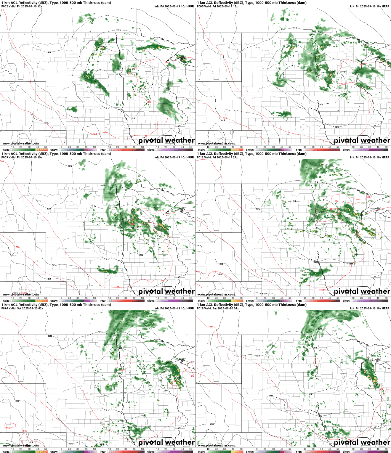
Our slowly moving low-pressure system will meander across the Dakotas-Minnesota border on Friday, bringing cloudy skies and cooler temperatures.

Temperatures will settle back into seasonal values, with Friday’s highs expected to reach the upper 60s to low 70s.

Showers and thunderstorms on Thursday brought impressive rainfall totals to the metro area, with many locations picking up more than an inch of rain.
Turn Up Your Support
MPR News helps you turn down the noise and build shared understanding. Turn up your support for this public resource and keep trusted journalism accessible to all.

Isolated to scattered showers will swirl around the surface low again for Friday, bringing occasional heavier downpours and even a few rumbles of thunder.
Western Minnesota, located closer to the low’s center, will see the most showers, while eastern Minnesota can expect more isolated rain chances.
The weekend will bring seasonal temperatures in the 60s and 70s, with Sunday expected to be the warmer and drier of the two days.

Our low-pressure system will continue its slow exit from the Upper Midwest, allowing for some breaks of sunshine to peek through on both Saturday and Sunday. However, isolated showers can’t be ruled out, especially earlier on Saturday.

