
Lingering clouds with spotty rain late
Temperatures stay on track with seasonal highs
Go Deeper.
Create an account or log in to save stories.
Like this?
Thanks for liking this story! We have added it to a list of your favorite stories.


A slow-moving weather system continues to linger over the region this weekend, keeping clouds and spotty showers in the mix, but a gradual improvement is on the way.
Low-pressure system slow to exit
Sometimes our weather systems can act like unwanted house guests, slow to leave — hanging around with stubborn clouds and occasional showers. This is precisely what our pesky low-pressure system continues to do through Saturday, keeping skies mostly gray and holding temperatures near seasonal norms.
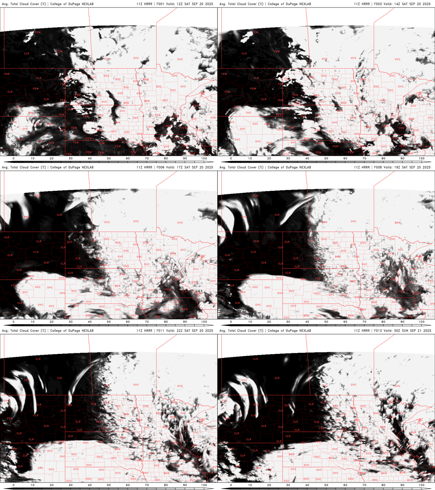
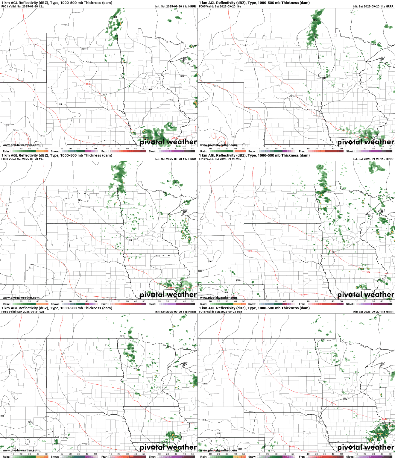
While most of the rain will remain very isolated, don’t be surprised by a few passing sprinkles. We’ll stay mostly dry through the late afternoon and early evening, but a few spotty showers could pop up as we head into the later hours.
Rain shower coverage will be more limited, and any showers that do develop will be lighter in intensity. We're looking at amounts measured in tenths of an inch, a big change from previous days, when some spots picked up 1 to 2 inches from heavier downpours.
Sunday will be the warmer and drier day of the weekend, with more sunshine breaking through. Highs will climb into the mid-70s for many areas, while spots farther north may hold in the upper 60s to low 70s.

Next week seasonal temperatures continue in the 70s, with minimal chances for rain.

Turn Up Your Support
MPR News helps you turn down the noise and build shared understanding. Turn up your support for this public resource and keep trusted journalism accessible to all.

