
Spotty storms for Saturday night and Sunday, then sunshine ahead
Sunday's storms could bring some small hail
Go Deeper.
Create an account or log in to save stories.
Like this?
Thanks for liking this story! We have added it to a list of your favorite stories.


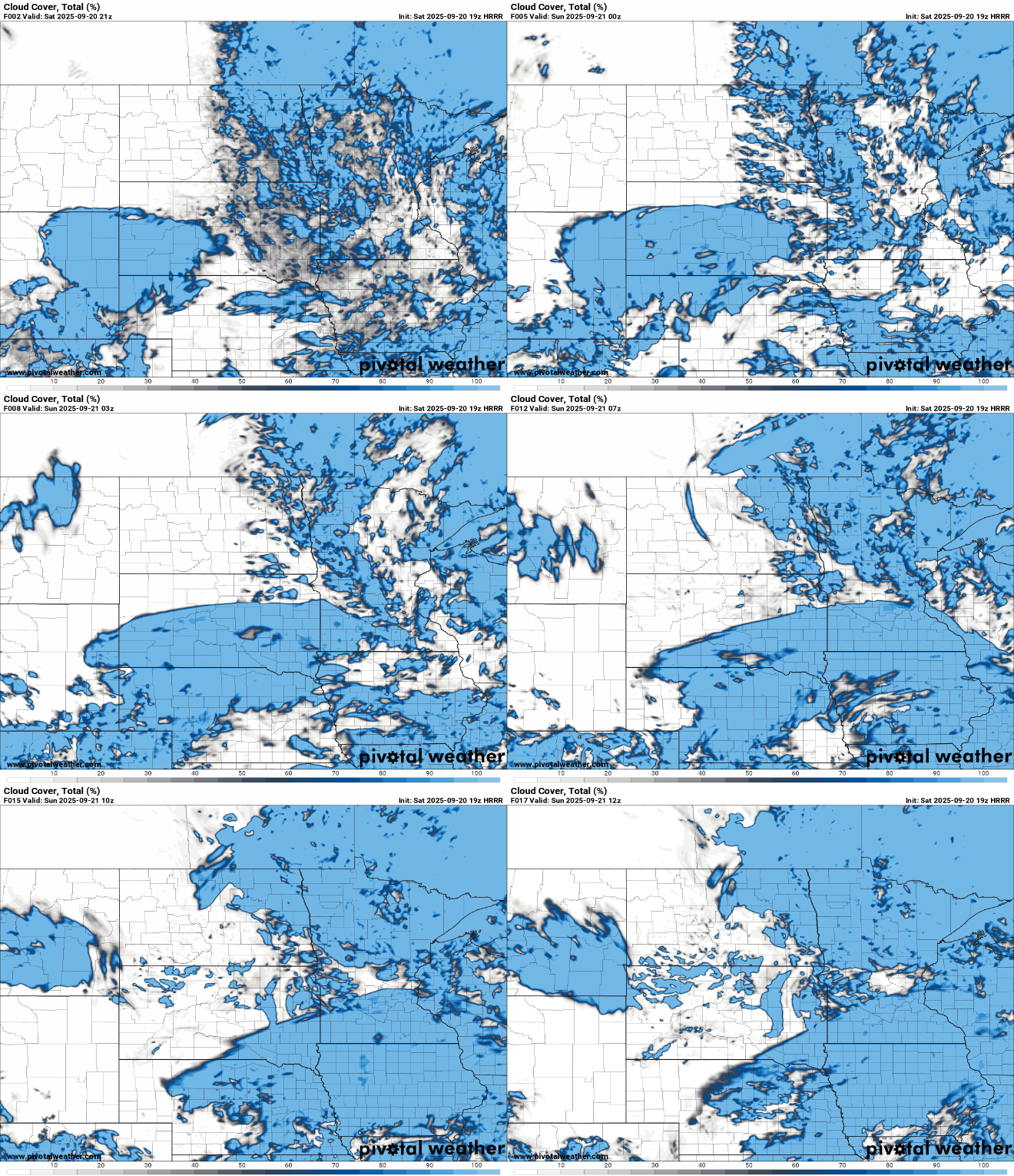
There’s another chance for scattered showers Saturday night, followed by more storms on Sunday, some of which could bring small hail and heavy downpours. Conditions improve next week with sunshine and slightly above-normal temperatures.
Light, scattered showers tonight
A retreat of the low-pressure system across northern parts of the state will bring a chance of isolated showers into Saturday night. However, coverage and intensity will be lower than on Friday, so expect only light, scattered showers at best.
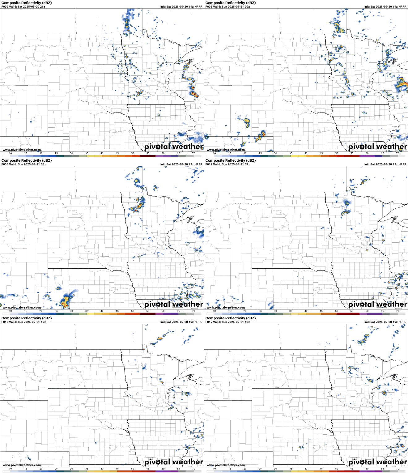
Another disturbance moving through the Dakotas will keep showers and storms possible on Sunday, although we should start to see some sunshine returning as the weekend winds down.
With increased instability on Sunday, there’s a chance for some small hail and heavier pockets of rain in the stronger storms.
Temperatures Saturday night will dip into the mid to upper 50s across north and central Minnesota, while the Twin Cities metro area will stay a bit warmer, hovering in the low 60s.

Sunday will be warmer with more sunshine, featuring temperatures in the low to mid-70s across most areas, and upper 60s to low 70s in the northern parts of the state.

Expect pleasant and warmer-than-average temperatures through the end of the week, with highs in the mid-70s, a nice treat for late September!
Turn Up Your Support
MPR News helps you turn down the noise and build shared understanding. Turn up your support for this public resource and keep trusted journalism accessible to all.

