
Showers and storms to rumble Sunday night into Monday
First day of fall arrives Monday with comfortable, seasonal highs
Go Deeper.
Create an account or log in to save stories.
Like this?
Thanks for liking this story! We have added it to a list of your favorite stories.


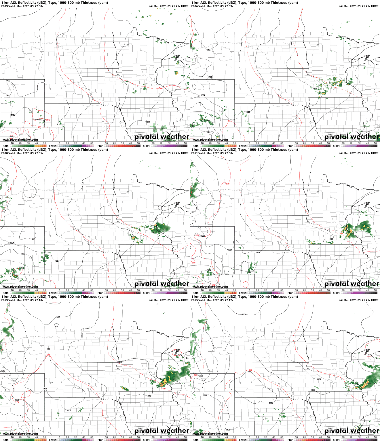
Storm chances continue into Sunday evening, with the potential for a few stronger storms, mainly across southern Minnesota. A slow-moving system will keep light rain chances lingering through Tuesday, before drier and sunnier weather settles in by midweek.
Severe storms possible tonight
A marginal risk for severe weather remains in effect for southern Minnesota, including the Twin Cities area. Isolated storms are possible Sunday night, with some capable of producing larger hail and possibly lingering into early Monday morning.

Our lingering low-pressure system will continue to slowly move toward the Great Lakes at the start of the week, keeping lingering showers and partly cloudy skies through Monday.
Turn Up Your Support
MPR News helps you turn down the noise and build shared understanding. Turn up your support for this public resource and keep trusted journalism accessible to all.
Expect lows Sunday night in the upper 50s to low 60s, with a chance for fog to develop by Monday morning.

Temperatures will stay near or just above seasonal averages, with Monday’s highs reaching the low to mid-70s, with 60s along the North Shore.

Dry weather looks more likely by midweek. High pressure will start to build in with clearing skies. Expect more sunshine, light winds, and very pleasant conditions continuing through the weekend. Highs will be in the 70s, with comfortable dewpoints in the 50s.
Feels like a proper kickoff to fall.

