
August-like temperatures and dry weather ahead
Highs will be near 80 Friday

Go Deeper.
Create an account or log in to save stories.
Like this?
Thanks for liking this story! We have added it to a list of your favorite stories.


It’s already been warm, but we’re turning it up closer to 80 degrees Thursday and Friday. The dry weather persists into the weekend and early next week.
More summerlike temperatures ahead
It’s a foggy start again for many parts of Minnesota Wednesday morning. There are dense fog advisories posted for much of northern and eastern Minnesota through mid to late Wednesday morning.

Once again, the fog should burn off by mid to late morning, giving way to partly cloudy afternoon skies.
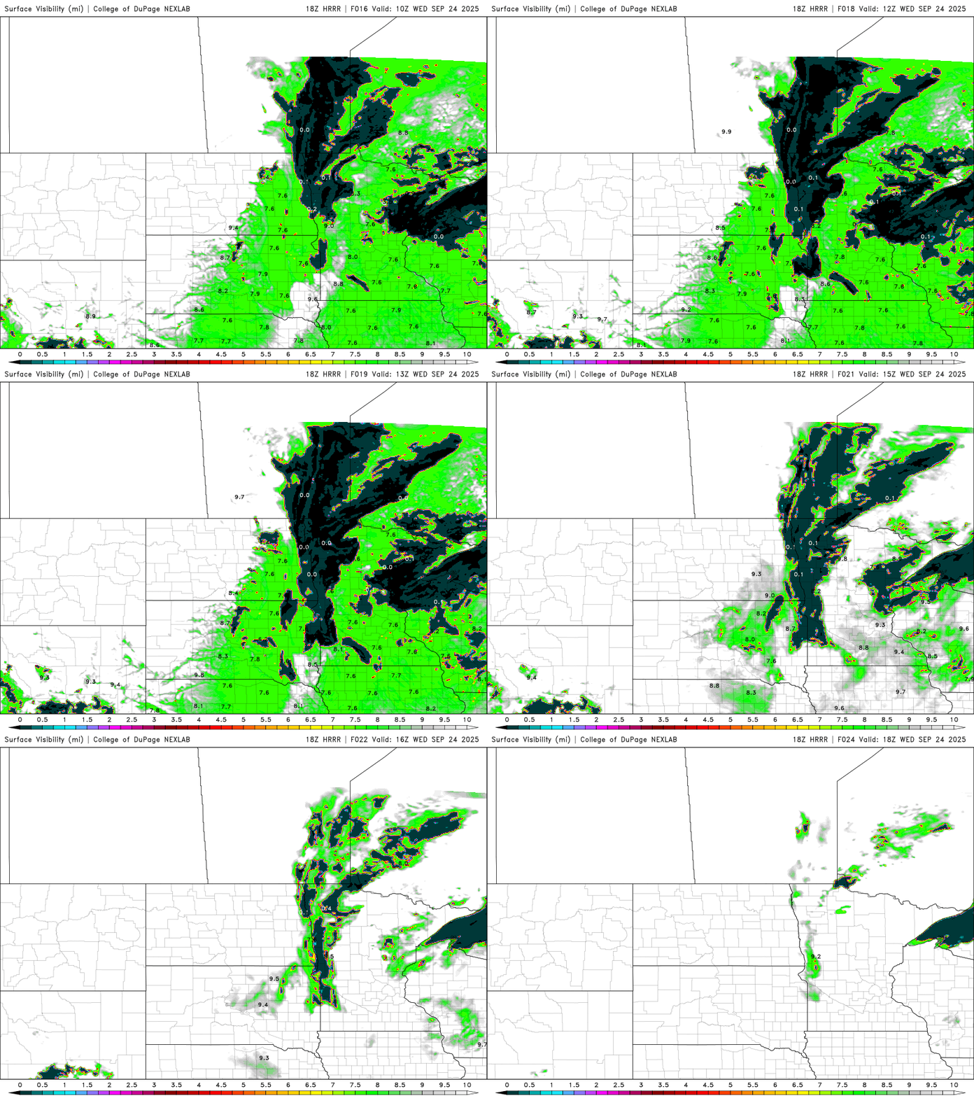
Highs Wednesday afternoon will be back in the 70s for most of the state along with light winds and partly cloudy skies.
Turn Up Your Support
MPR News helps you turn down the noise and build shared understanding. Turn up your support for this public resource and keep trusted journalism accessible to all.

Recent temperatures have already been several degrees warmer than normal, but we’re going to be warming more Thursday. Afternoon highs will be near 80 degrees for western and southern Minnesota with more sunshine.
A couple of weak cool fronts and clippers will drop temperatures a few degrees for Friday and Saturday, mainly in northern Minnesota. It may touch off a few showers in northern Minnesota as well Friday night.
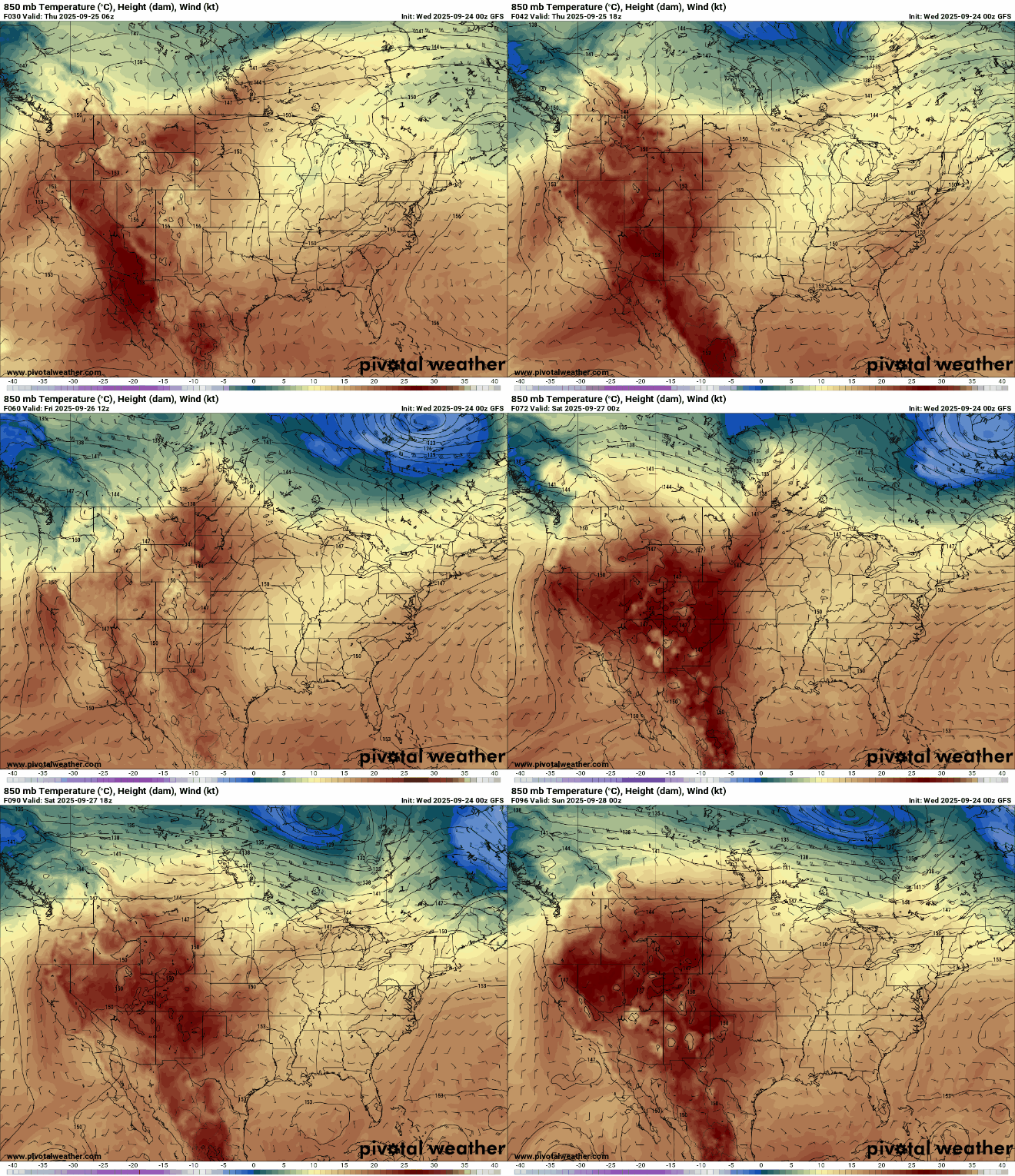
Highs will still be in the 80s across southwestern Minnesota Friday and Saturday. Northeastern Minnesota will be cooler, in the 60s.

The weekend looks lovely with sunshine and highs mostly in the 70s. We could see 80 again early next week, perhaps a couple of times, and the pattern remains overall dry.


