
More chances at 80 degrees ahead
Pattern remains mostly dry into early next week

Go Deeper.
Create an account or log in to save stories.
Like this?
Thanks for liking this story! We have added it to a list of your favorite stories.


Southern Minnesota will see highs near 80 degrees Thursday with more chances into early next week. The pattern remains dry and quiet overall.
More anomalous warmth, dry weather ahead
There are some patchy areas of fog to burn through once again Thursday morning, but there’s much less of it, meaning most of the day should be mostly sunny for most of the state. Afternoon highs will be in the low 80s for southwestern Minnesota with 70s for the rest of the state.

A couple of fast-moving, weak clipper systems will be moving across southern Canada in the next couple of days with a couple of trailing cool fronts. These will mostly drop temperatures a few degrees and potentially create a few showers Friday night in far northern Minnesota.
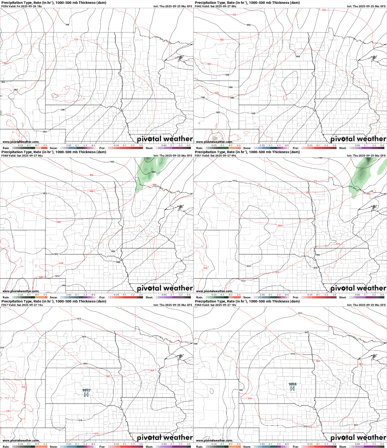
High pressure again settles in behind this minute rain chance Friday night. Central and southern Minnesota will barely notice the change with temperatures that will be just several degrees cooler, but northern Minnesota will see temperatures drop into the upper 60s and low 70s for a couple of days. Southwestern Minnesota will still see highs in the low to mid-80s.

Saturday will be a little cooler with highs mostly in the 70s and 60s under mostly sunny skies.

Early next week looks warmer yet again with highs again near 80 degrees across southern Minnesota Monday and Tuesday.

We also remain dry through at least midweek next week.
Turn Up Your Support
MPR News helps you turn down the noise and build shared understanding. Turn up your support for this public resource and keep trusted journalism accessible to all.

