
Lighter winds overnight; even warmer on Sunday
80-degree streak ahead

Go Deeper.
Create an account or log in to save stories.
Like this?
Thanks for liking this story! We have added it to a list of your favorite stories.


High pressure continues to dominate, bringing calm conditions overnight and setting the stage for a warming trend.
Calm winds and clear skies
After a weak cold front brought slightly cooler temperatures on Saturday, breezy winds followed in its wake. Those winds will gradually diminish by early Saturday night.
Temperatures will dip to the upper 40s across eastern areas, around 50 in the Twin Cities, and hold in the low 50s farther west.
Southerly winds will take over on Sunday, bringing slightly warmer temperatures with highs reaching the upper 70s and even low 80s in western Minnesota.

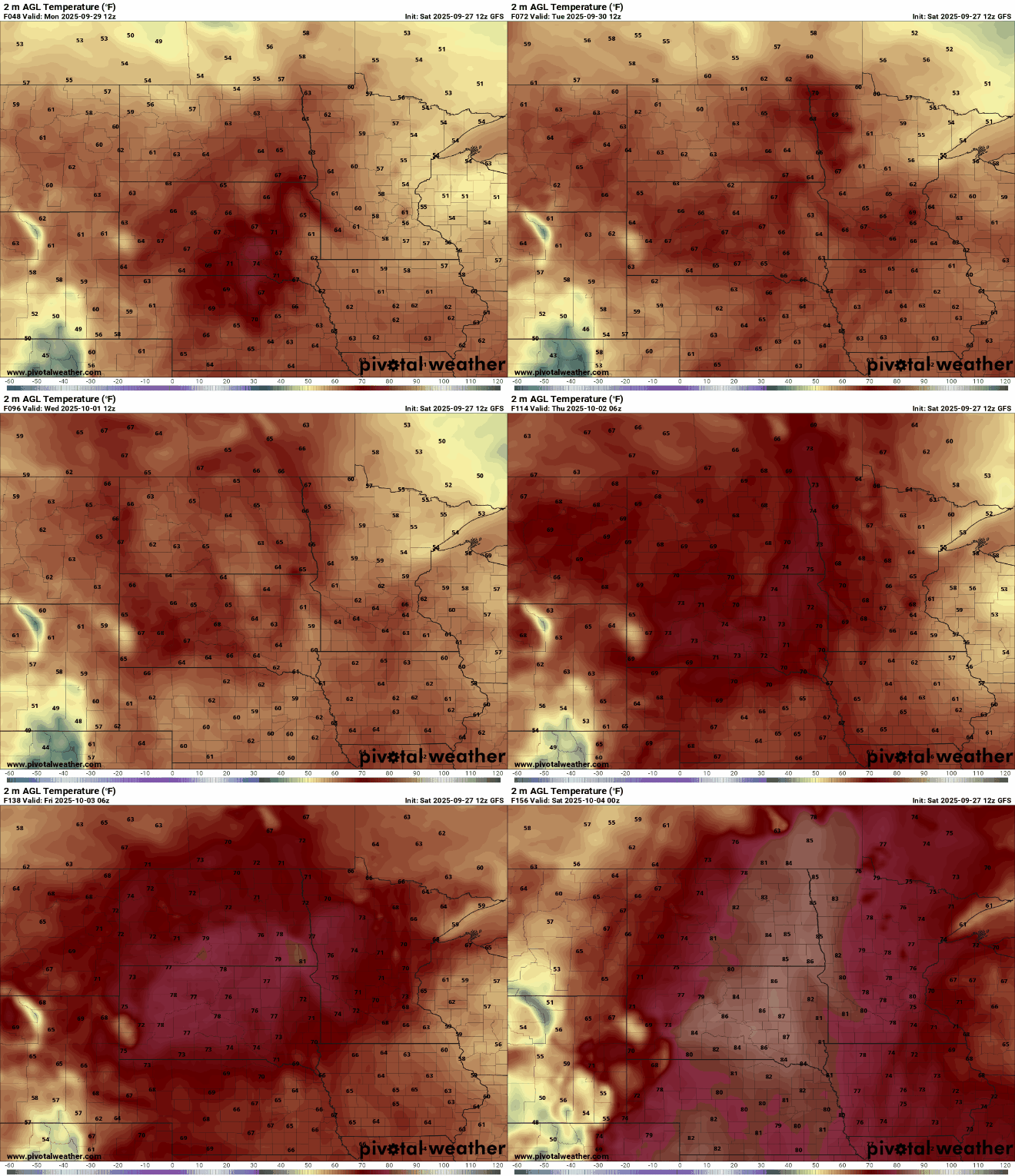
A warmer streak with temperatures in the 80s is forecast for next week, making the end of September into early October feel more like August.
Turn Up Your Support
MPR News helps you turn down the noise and build shared understanding. Turn up your support for this public resource and keep trusted journalism accessible to all.

