
Dry and warm pattern continues across the Upper Midwest
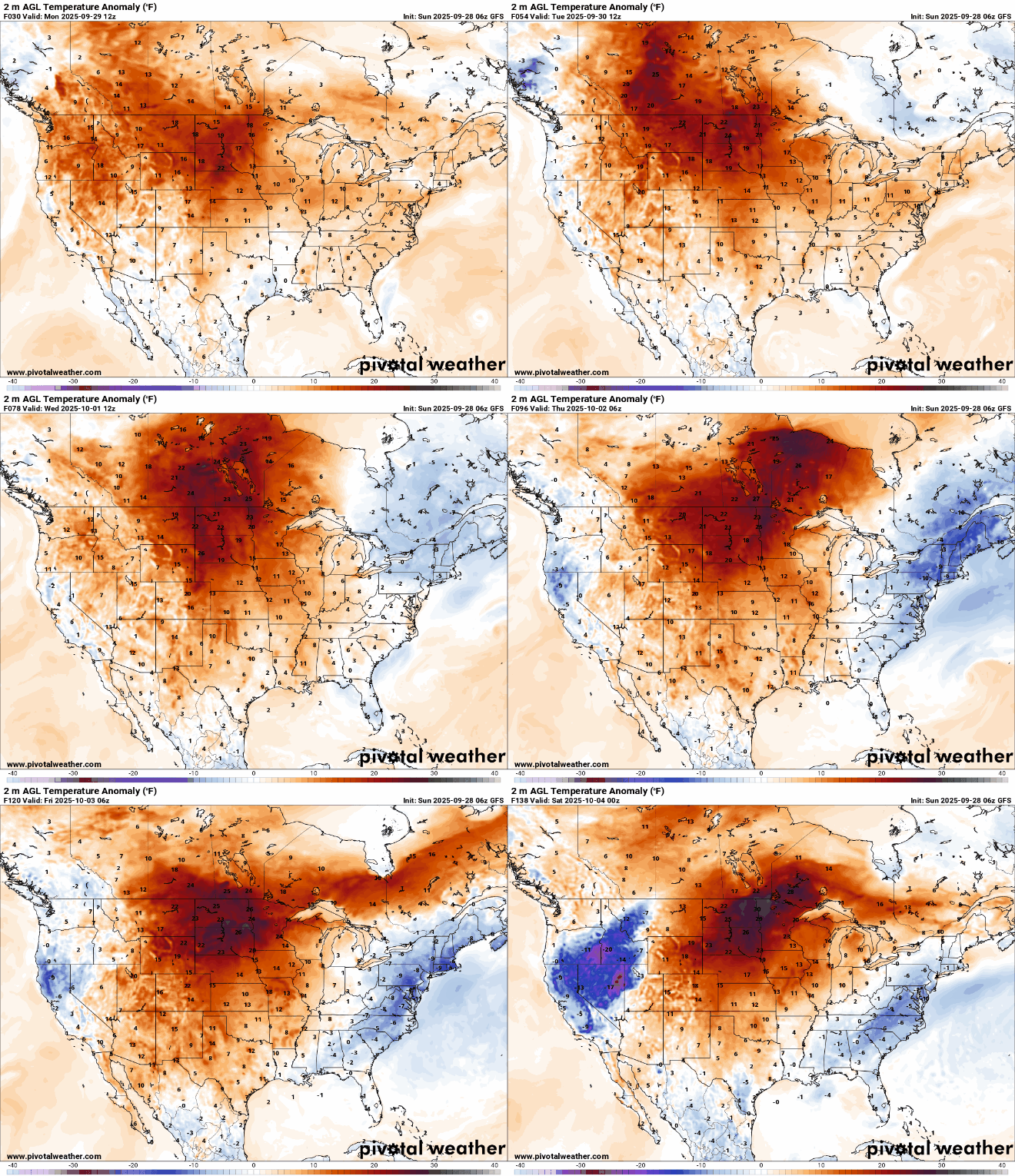
Highs running 15-20 degrees above average this week
Go Deeper.
Create an account or log in to save stories.
Like this?
Thanks for liking this story! We have added it to a list of your favorite stories.


A strong ridge of high pressure over the Upper Midwest is fueling unseasonably warm conditions, with highs reaching the 80s and even low 90s in some locations this week.
Second summer continues
Our quiet weather pattern continues as we close out September and head into October. Highs on Sunday will climb a few degrees warmer as southerly flow strengthens ahead of an approaching surface high pressure system.
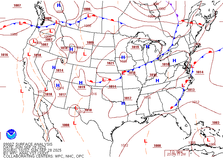
Expect temperatures to reach the upper 70s to low 80s across western Minnesota, accompanied by light winds and clear skies.

Sunday night will stay mild, with lows in the low to mid-60s for most areas, and warmer-than-usual mid-50s in northeastern Minnesota.

Temperature anomalies are expected to peak next week at 15 to 20 degrees above normal.
Active Atlantic
Hurricane Humberto, a powerful Category 4 storm, and Tropical Depression Nine are currently active in the Atlantic basin. Tropical Depression Nine is expected to strengthen into Tropical Storm Imelda and track toward the southeastern U.S. coast early this week, while Hurricane Humberto continues to churn in the open Atlantic.


Turn Up Your Support
MPR News helps you turn down the noise and build shared understanding. Turn up your support for this public resource and keep trusted journalism accessible to all.

