
Mild mornings followed by toasty afternoons
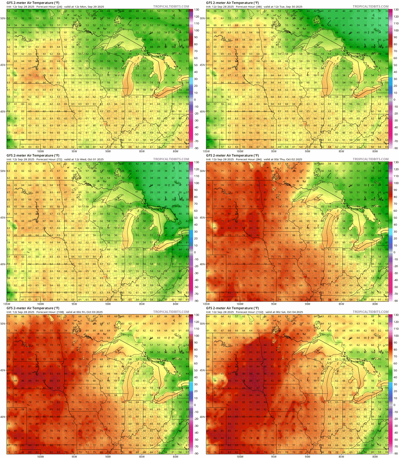
15-20 degree temperature anomalies expected this week
Go Deeper.
Create an account or log in to save stories.
Like this?
Thanks for liking this story! We have added it to a list of your favorite stories.


A ridge of high pressure is bringing us a taste of late summer as we head into a warm and dry week with temperatures far above average.
Summer’s encore performance
Summer’s encore performance is underway as a ridge of high pressure brings warm, dry conditions back to the region. Temperatures will soar well above average this week, giving us a final stretch of summer-like weather before the season fully transitions into fall. We can expect temperatures running 15 to 20 degrees above seasonal averages throughout the week.
Sunday night’s lows will fall into the mid to upper 50s with light winds and clear skies. Locally dense fog may develop in stream and river valleys.
Turn Up Your Support
MPR News helps you turn down the noise and build shared understanding. Turn up your support for this public resource and keep trusted journalism accessible to all.

The week will begin with highs climbing into the 80s, with some areas in western Minnesota reaching the upper 80s.

Temperatures in the 70s and 80s will continue into next week, with highs pushing near 90 degrees in the Twin Cities. The Twin Cities have only reached 90 degrees in October twice before—once in 1997 and most recently in 2023.
Imelda forms in Atlantic
Tropical Depression Nine has strengthened into Tropical Storm Imelda in the Atlantic. The storm is moving toward the Florida coast and the southeastern United States but is not expected to make landfall in the U.S.



