
Summer warmth continues throughout the week
Some rain possible by the weekend

Go Deeper.
Create an account or log in to save stories.
Like this?
Thanks for liking this story! We have added it to a list of your favorite stories.


Anomalous warmth continues Tuesday and throughout the week. We’ll continue to see filtered sun through high clouds. The weekend could bring some spotty showers and cooler weather.
Our string of 80-degree days continues
It’ll be another warm one Tuesday, although a few degrees cooler for most with increased cloud cover filtering the sunshine out. Highs will be well into the 80s across southern and western Minnesota with 70s north.
There’s a slight chance of a sprinkle or two in central Minnesota with a weak, upper-level disturbance moving through.

Copy and paste Tuesday’s weather for Wednesday mostly. Highs will again be in the low to mid-80s across southern and western Minnesota. We should see brighter skies Wednesday.

By Friday, temperatures will be even warmer ahead of changes brewing for the weekend. Highs will be near 90 degrees again in southwestern Minnesota with upper 80s in the Twin Cities. The record high Friday is 90 in the Twin Cities and 89 on Saturday. Both records could be close to falling.

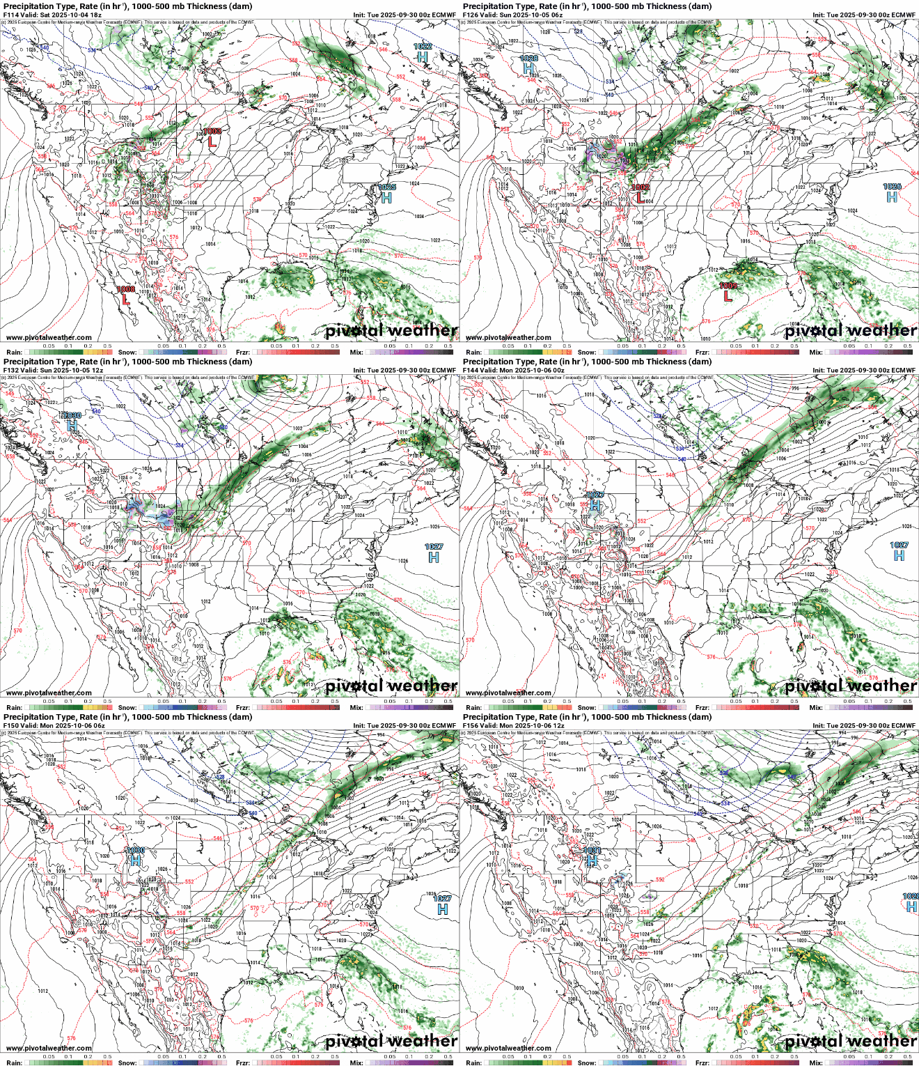
The weekend will bring spotty shower chances and cooler temperatures by late Sunday and early next week, finally closer to more seasonable readings in the 60s.
Turn Up Your Support
MPR News helps you turn down the noise and build shared understanding. Turn up your support for this public resource and keep trusted journalism accessible to all.

