
October begins with summerlike heat ahead and potential records
Rain chances and cooler weather later in the weekend
Go Deeper.
Create an account or log in to save stories.
Like this?
Thanks for liking this story! We have added it to a list of your favorite stories.


It’ll be another warm day Wednesday for the first day of October. Then it’ll be downright hot by Friday and Saturday with cooler air finally moving in early next week along with potential rain.
The stretch of summer weather continues
We’ll have another summerlike day Wednesday with highs in the low to mid-80s across southern Minnesota and filtered sunshine through high clouds.

Thursday will start to see temperatures tick up a bit with mid to upper 80s across southern Minnesota and highs near 80 degrees all the way to the international border.

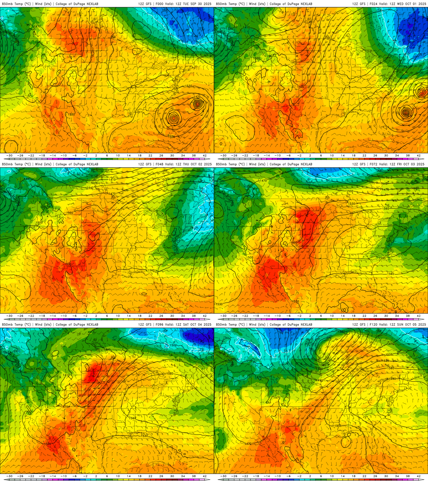
Friday will see highs once again near 90 degrees, much like Monday afternoon, across southern and southwestern Minnesota.
Turn Up Your Support
MPR News helps you turn down the noise and build shared understanding. Turn up your support for this public resource and keep trusted journalism accessible to all.

Potential records could fall in central Minnesota. Similar temperatures and records are possible Saturday.

The weekend brings a slowly moving cool front that will start to touch off showers in northern Minnesota Friday night into Saturday and for southern Minnesota by late Sunday into Sunday night and Monday.
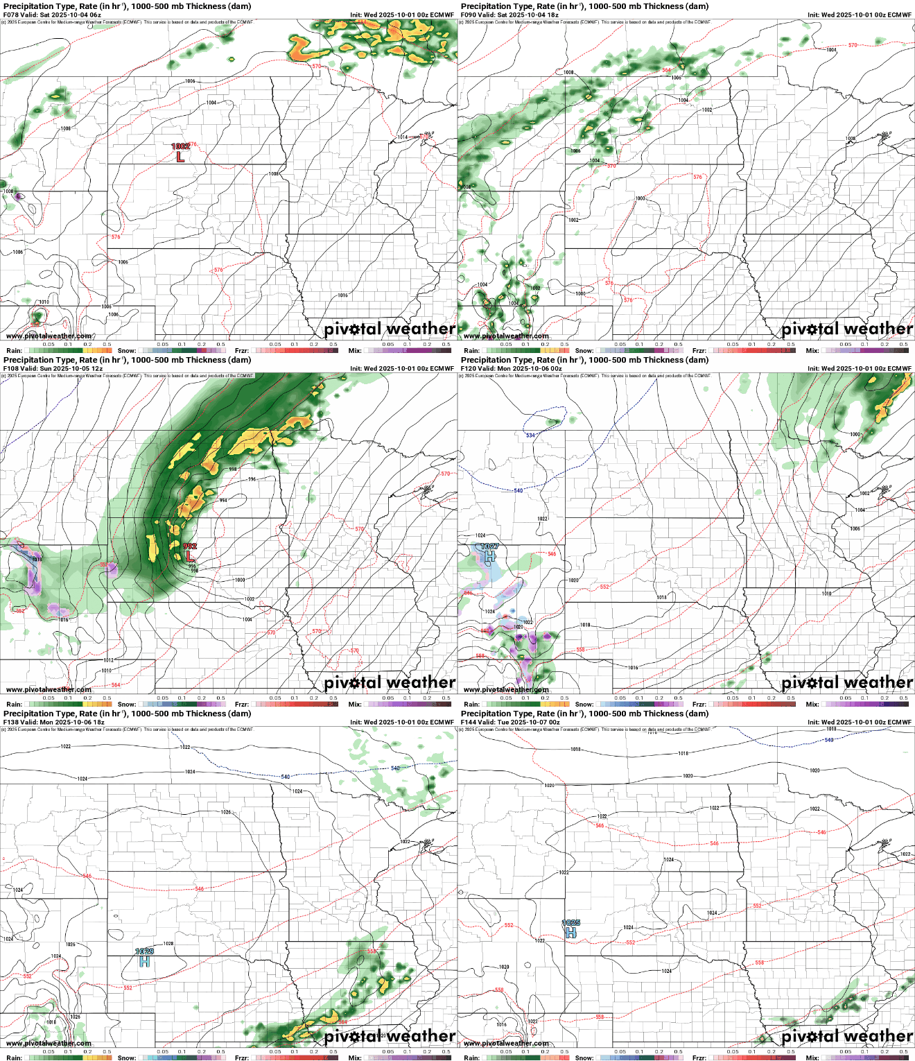
Forecast models are now trending drier with the front for southern Minnesota this weekend with significant precipitation limited to northern Minnesota.

High temperatures by early next week will finally be more seasonable in the 60s south and 50s north, still a few degrees above normal.

