
Record-breaking heat possible Friday into Saturday
Seasonable air arrives next week with some potential rainfall

Go Deeper.
Create an account or log in to save stories.
Like this?
Thanks for liking this story! We have added it to a list of your favorite stories.


Temperatures warm up even more Thursday and especially Friday and Saturday with several records in jeopardy. Some of us will receive rainfall later this weekend followed by cooler air.
The October heat wave continues
After some mid and high-level cloud cover at times the last couple of days, Thursday and Friday should be brighter with more in the way of clear skies. Afternoon highs will be warmer, in the mid to upper 80s across southern Minnesota.

Friday and Saturday will be even warmer with highs in the low 90s for parts of southern Minnesota with 80s well up to the international border.

We may get close to or break records Friday, Friday night and Saturday in parts of the state. If we stay at 73 degrees or warmer Friday or Saturday nights in the Twin Cities, we’ll set a new all-time record warm overnight low for the whole month of October (152 years of records).
Turn Up Your Support
MPR News helps you turn down the noise and build shared understanding. Turn up your support for this public resource and keep trusted journalism accessible to all.

For Twin Cities marathon runners, it’s going to be a warm one. Temperatures will be mostly in the 70s for runners to near 80 degrees by noon. Early morning temps will be in the low 70s.

Highs Sunday will still be in the 80s across southern Minnesota. It should be dry during the day and it won’t be particularly humid, with dew points in the 50s mostly. It will be windy with south winds 10 to 20 mph.

Rain showers will develop along and ahead of a slowly moving cool front by late Saturday into Sunday and early Monday for mainly northern Minnesota. We may be left mostly high and dry in southern Minnesota.
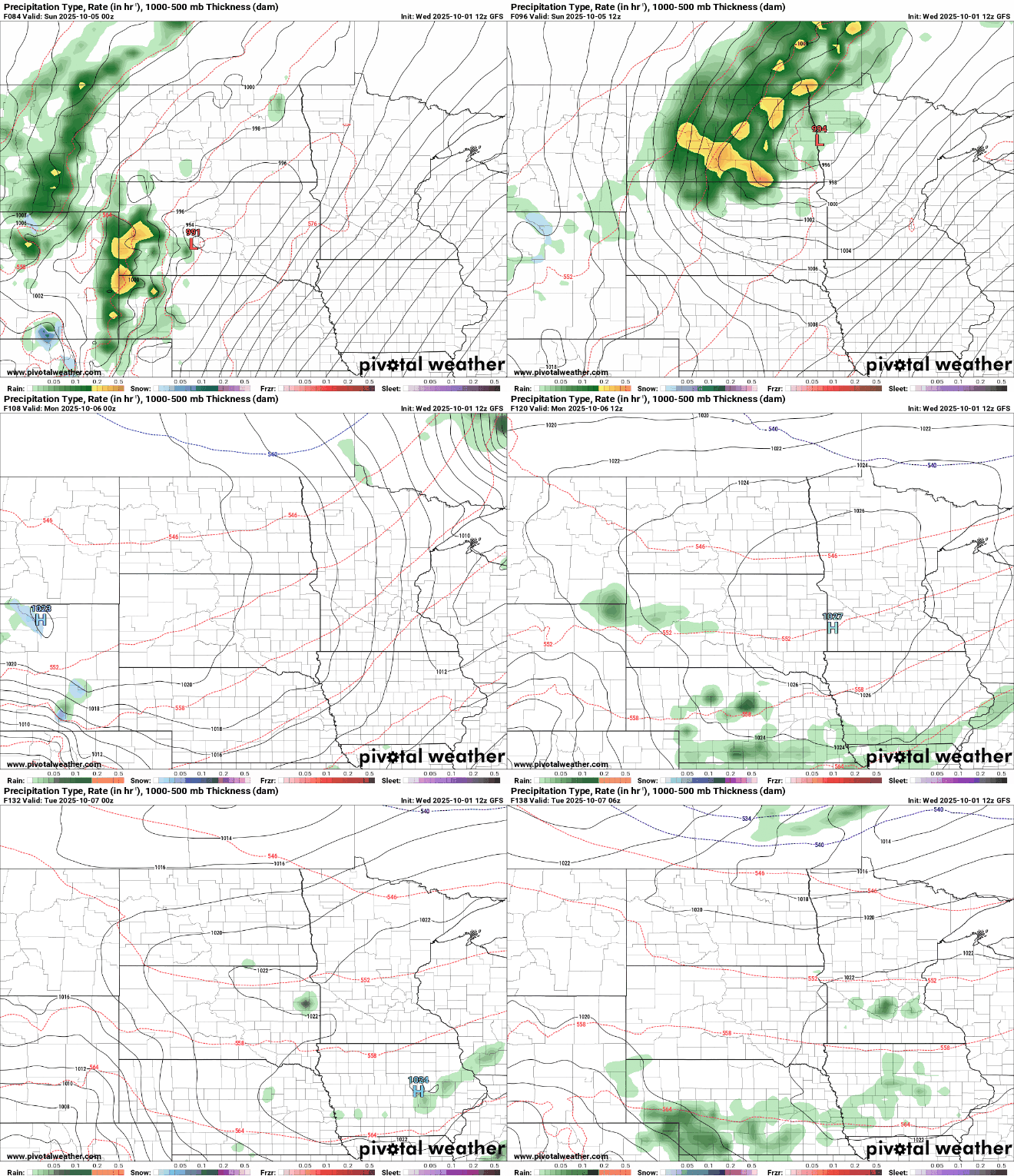
We could use some rainfall in portions of the state as moderate drought has now crept back into north-central Minnesota around Park Rapids and Walker.

Behind the front, Monday will finally bring more seasonable temperatures with highs in the 60s and 50s. Those temperatures largely persist next week.


