Hot and breezy Saturday ahead for Minnesota
Near-record temperatures expected

Go Deeper.
Create an account or log in to save stories.
Like this?
Thanks for liking this story! We have added it to a list of your favorite stories.


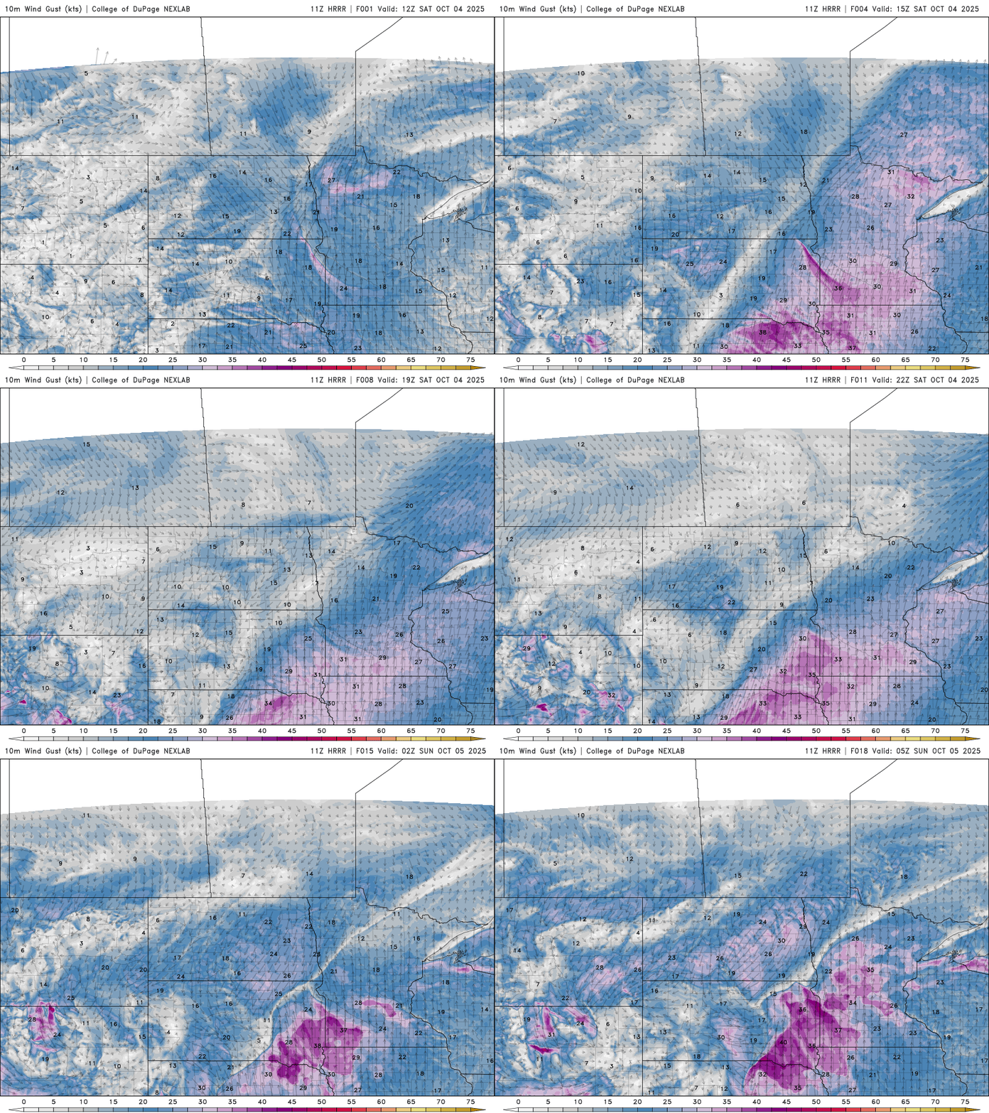
Get ready for a warm and breezy Saturday as Minnesota experiences near-record temperatures. Southerly winds will gust between 30-40 mph, ahead of a much-anticipated cold front.
Hot-ober continues
Temperatures soared across the state Friday, reaching the upper 80s to low 90s. Appleton topped out at 93 degrees, while Milan and Redwood Falls both hit 92.

While the Twin Cities fell just short of setting a record high on Friday, they did break a record warm low for Saturday morning, surpassing the previous record of 68 degrees set in 1922. The record high for Saturday stands at 89 degrees, also set in 1922.
Turn Up Your Support
MPR News helps you turn down the noise and build shared understanding. Turn up your support for this public resource and keep trusted journalism accessible to all.
We will come very close to beating that record, with high temperatures forecasted in the upper 80s to low 90s for Saturday. These temperatures are running 20 to nearly 30 degrees above average for this time of year.
A much-anticipated cold front is approaching from the Dakotas, which will finally bring temperatures back down into the 50s and 60s by Monday.

Winds will become very breezy out of the south ahead of the cold front, with gusts between 30-40 mph. These gusty winds will continue overnight into Sunday and could create critical fire weather conditions due to the dry vegetation.
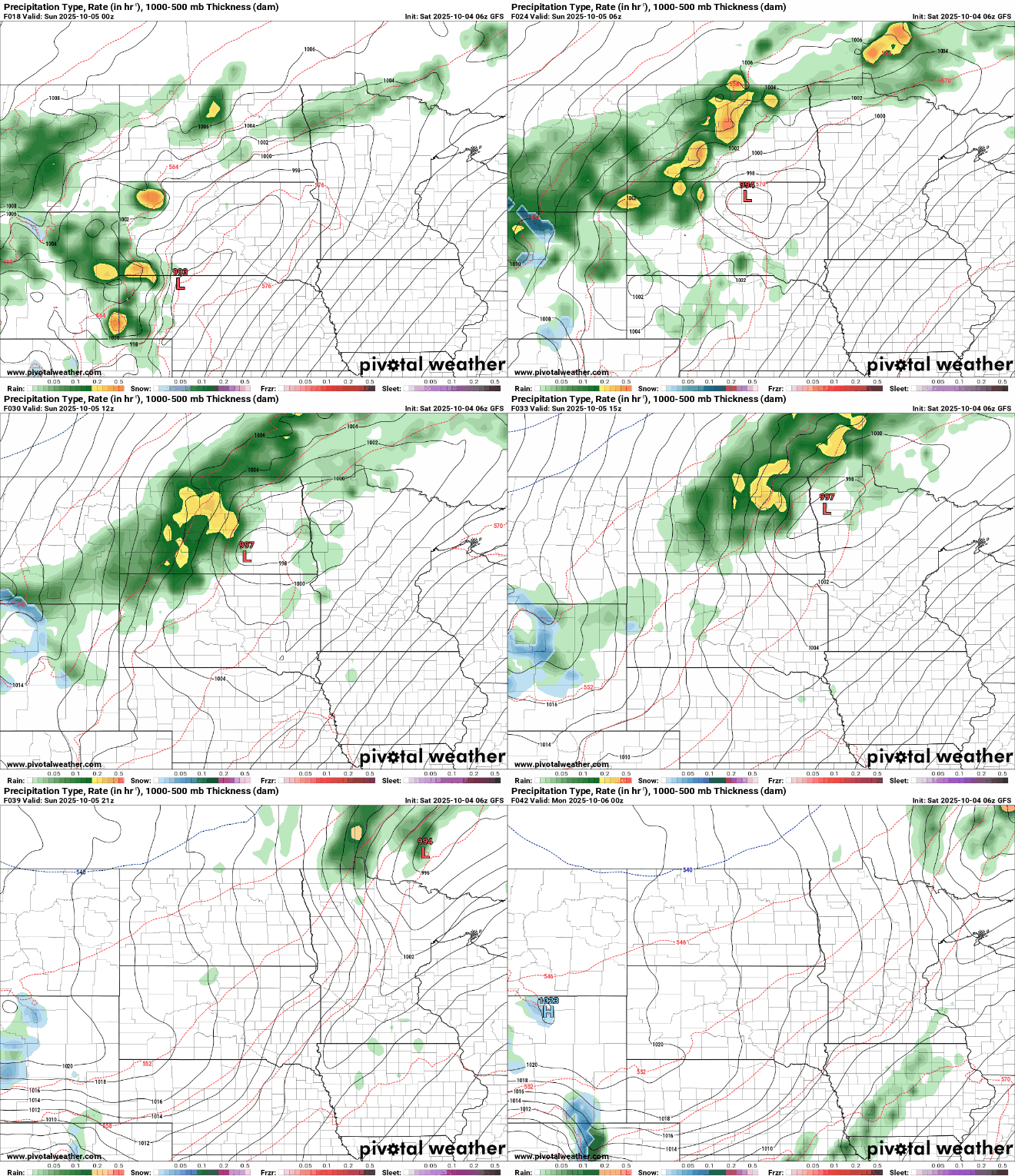
Sunday’s temperatures will be tricky to forecast due to the slow-moving cold front. Areas ahead of the front could warm into the lower to mid-80s, while temperatures behind the front in northwestern Minnesota will drop into the 50s and 60s.

The Storm Prediction Center has issued a marginal risk for stronger storms in northwestern Minnesota, with the potential for large hail and strong winds associated with the cold front.

The bulk of showers and storms are expected to stay in northern and northwestern Minnesota. However, a stray shower can’t be ruled out with the passage of the cold front on Sunday.