
Back to normal: Cold front ends streak of unseasonable warmth
One more summery-like day before the cooldown

Go Deeper.
Create an account or log in to save stories.
Like this?
Thanks for liking this story! We have added it to a list of your favorite stories.


After several days of record-breaking warmth, a cold front is finally moving in to bring back more typical fall conditions. Expect one more warm and breezy day before temperatures drop, with cooler air and a chance for rain on the way.
Record-setting warmth on Saturday
Our streak of warm weather peaked on Saturday, with dozens of records shattered across the region. The Twin Cities reached a high of 91 degrees — not only setting a daily record, but also marking the latest 90-degree reading ever recorded in October. This is now just the fourth time on record the area has hit 90 degrees this late in the year, joining 1928, 1997 and 2023.
Breezy and warm Sunday
A large majority of Minnesota will enjoy one more summery-like day with above-average temperatures ahead of an approaching cold front. Temperatures behind the front will drop into the 50s and 60s, while northern, central and southern Minnesota can still expect highs warming into the 80s.

Another gusty day is ahead, with southerly winds peaking between 35 and 45 mph. Winds will remain strong behind the front, shifting to the northwest. We expect winds to diminish Sunday night into Monday morning.
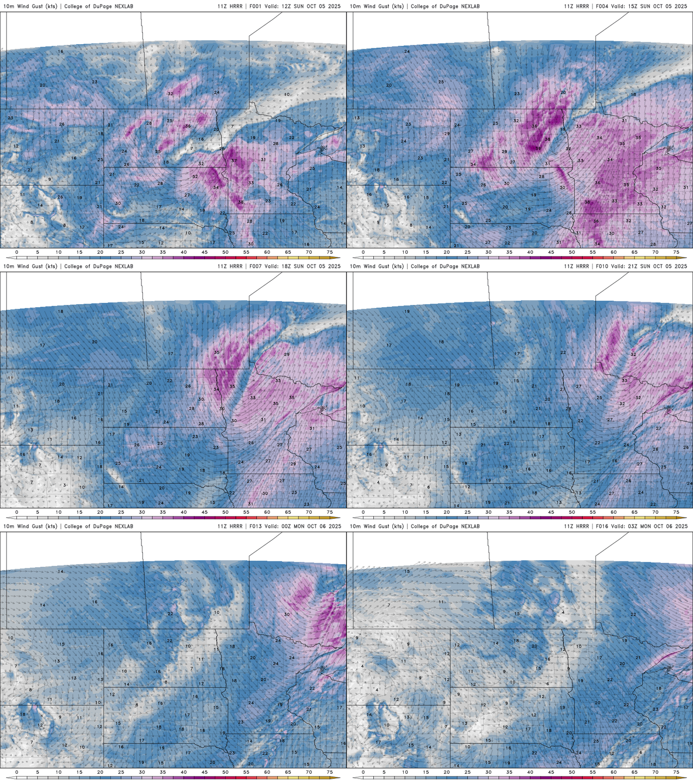
Showers and rumbles of thunder will accompany the cold front, with the heaviest precipitation focused near the low-pressure center in northwestern Minnesota. There’s also an isolated chance of showers moving east-southeast across the state as the front passes.
A return to fall is underway as temperatures settle into the 50s and 60s for the start of the work week. The average high for the Twin Cities in early October is around 64 degrees.

High pressure will bring sunny skies this week with minimal chances of rain. Temperatures will trend back above average, with highs climbing into the 70s by week’s end.

Turn Up Your Support
MPR News helps you turn down the noise and build shared understanding. Turn up your support for this public resource and keep trusted journalism accessible to all.

