
Evening showers usher in cooler air; winds ease by Monday morning
Temperature shift brings back seasonal highs

Go Deeper.
Create an account or log in to save stories.
Like this?
Thanks for liking this story! We have added it to a list of your favorite stories.


A cold front moving through Sunday night will bring showers and set the stage for cooler, calmer weather to start the week.
Back to fall
A cold front finally pushed through Sunday following a record-breaking weekend, bringing showers and isolated thunder to eastern Minnesota that will clear by early Monday.
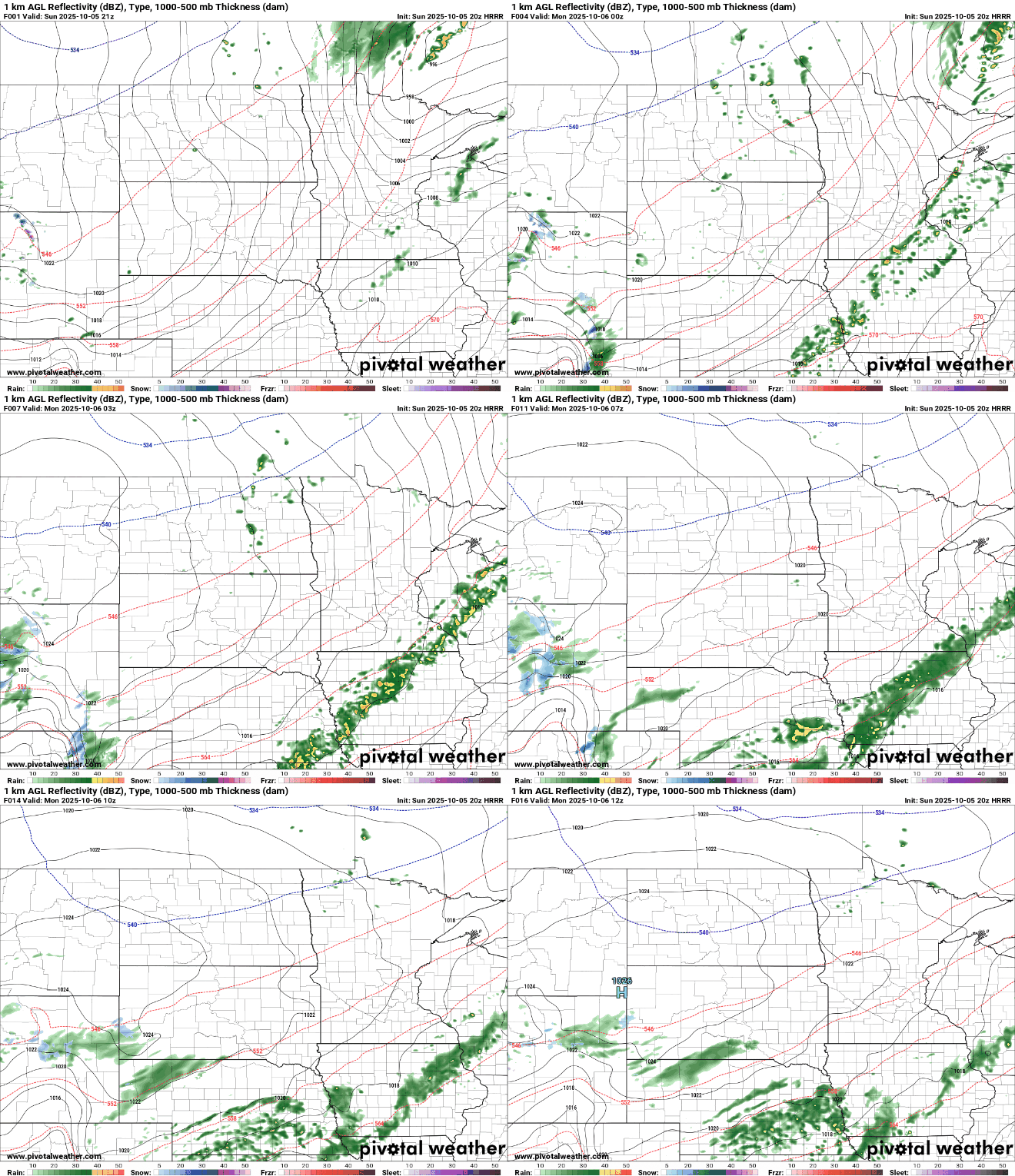
Temperatures will continue to drop significantly Sunday night, falling back into the 50s in the Twin Cities and the 30s to 40s farther north.

A frost advisory is in effect for the northwestern corner of the state, where temperatures are expected to drop into the low to mid-30s.

For the start of the workweek, expect seasonal highs in the 60s across southern Minnesota and 50s farther north. High pressure will bring plenty of sunshine and light winds throughout the week, with a gradual warming trend pushing temperatures into the 70s by Friday.
Turn Up Your Support
MPR News helps you turn down the noise and build shared understanding. Turn up your support for this public resource and keep trusted journalism accessible to all.

