Bright and cool Tuesday with warmer air ahead
Widespread frost possible north Tuesday night

Go Deeper.
Create an account or log in to save stories.
Like this?
Thanks for liking this story! We have added it to a list of your favorite stories.


We have cool, bright conditions on tap for Tuesday that will lead to cold conditions Tuesday night with freezing temperatures possible north. Warmer air moves in late this week.
Bright and cool Tuesday, frosty north Tuesday night
It’s a chilly and crisp morning. We’ll have bright sunshine Tuesday and cool conditions. Afternoon highs will again be in the 60s and 50s for the state.

Overnight we’ll have clear skies and our coldest temperatures this season. Lows will range from the low 40s in the Twin Cities to widespread frost north and northeast with potentially 20s in northeastern Minnesota.

A freeze warning is posted for portions of northern Minnesota Tuesday night into early Wednesday morning for basically most areas north of Interstate 94.
Turn Up Your Support
MPR News helps you turn down the noise and build shared understanding. Turn up your support for this public resource and keep trusted journalism accessible to all.
Bordering the freeze warning is a frost advisory for St. Cloud and northern and eastern suburbs of the Twin Cities into western Wisconsin.

Wednesday will yield more sunshine and temperatures that will be similar or even a couple degrees warmer than Tuesday afternoon’s, especially to the west.

Beyond that, we’ll steadily see temperatures warm. Highs will be in the 70s for southern Minnesota by the end of the week into the weekend.

We’ll remain mostly dry through Saturday other than a minor disturbance Thursday evening and night with spotty showers.
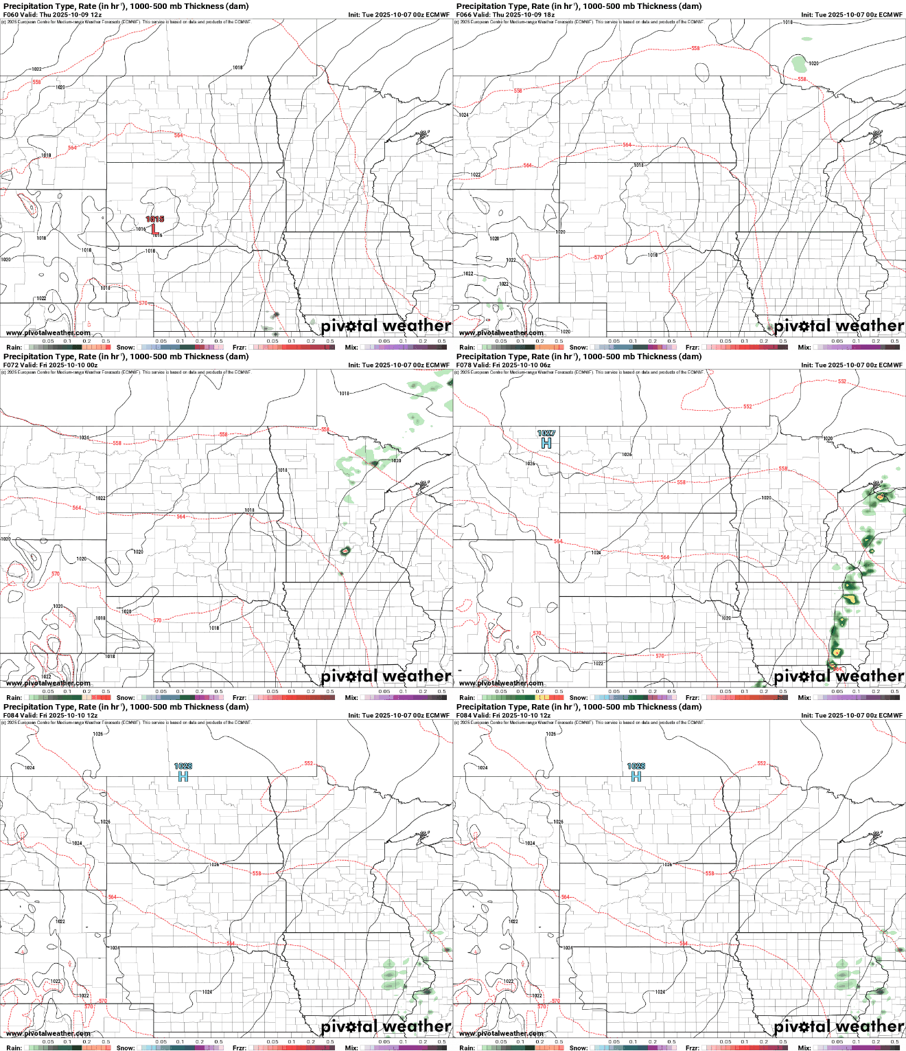
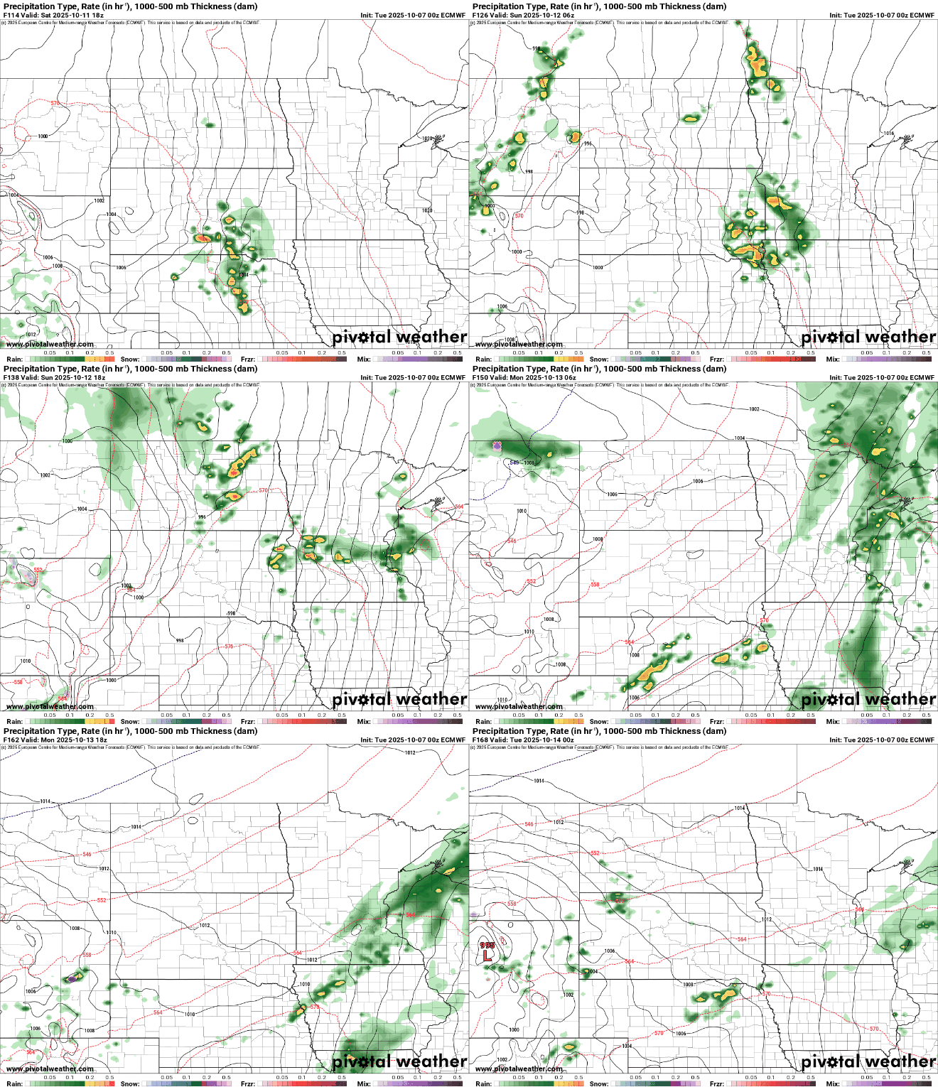
A cold front Saturday night into Sunday will create the next, more widespread chance of rain showers out ahead of it. It will also bring cooler air for early next week.