Chilly start, but sunshine and warmer temperatures ahead
Wednesday night won’t be nearly as cold

Go Deeper.
Create an account or log in to save stories.
Like this?
Thanks for liking this story! We have added it to a list of your favorite stories.


After a cold start, we’ll see lots of sun with seasonable temperatures near normal Wednesday. Temperatures will trend upward Thursday and into the weekend.
Cold start but lots of sunshine Wednesday with warmer days ahead
We’re waking up to our coldest temperatures of fall so far for most of Minnesota. Most of central, northern Minnesota and northwestern Wisconsin saw a hard freeze with temps in the 20s.

Hibbing, Minn., appears to have been the coldest spot, briefly slipping to a frigid 19 degrees just after 7 a.m. Wednesday morning:

After a frosty start for many, we’ll warm into the 60s Wednesday afternoon. The Arrowhead will remain in the 50s and parts of western Minnesota will be near 70 degrees.
Turn Up Your Support
MPR News helps you turn down the noise and build shared understanding. Turn up your support for this public resource and keep trusted journalism accessible to all.

We won’t be nearly as cold Wednesday night. Most of the state will be above freezing.

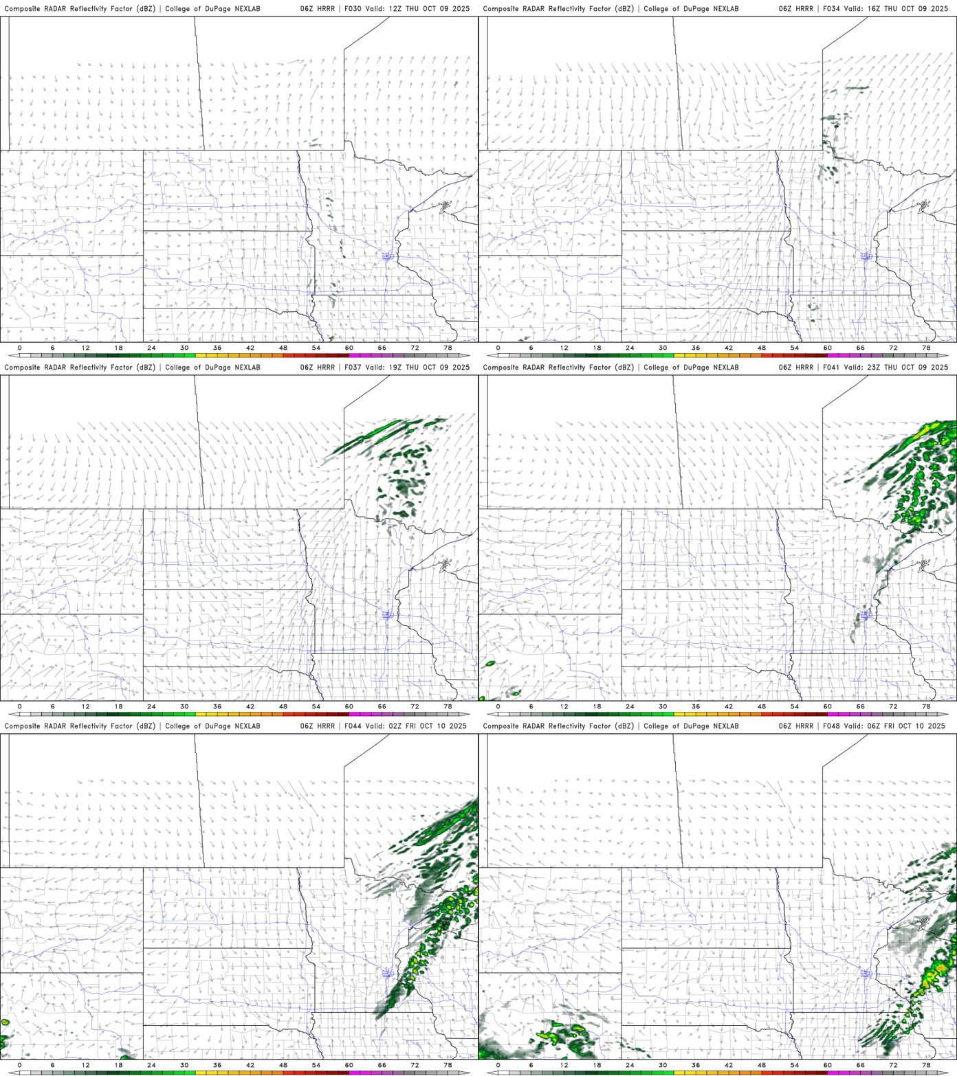
Clouds increase Thursday as a weak disturbance touches off a few late-day and overnight showers. Most of us will remain dry.
Temperatures Thursday will be a little warmer with 60s for most and low 70s for some in western Minnesota.

Sunny skies and warmer temperatures are back for Friday and Saturday. Highs will be in the low to mid-70s west, with upper 60s in the Twin Cities.

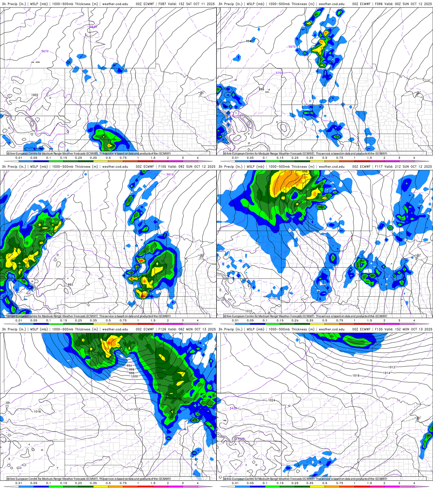
A cool front and more widespread chances of rain develop for Sunday into Sunday night with gradually cooler air moving in for next week.