
Drought quadruples in size across Minnesota in the past week
A hopeful, more active pattern develops next week

Go Deeper.
Create an account or log in to save stories.
Like this?
Thanks for liking this story! We have added it to a list of your favorite stories.


After eliminating drought in the state in mid-July, drought crept back into northern Minnesota last week and has expanded significantly in the past seven days.
Drought and dry conditions expanded significantly in the past week
If you’re in northern Minnesota and thinking it’s starting to get a bit dry and “crispy,” you are not imagining it.
Areas of moderate drought expanded from 3 percent of Minnesota last week to 12 percent. Areas considered at least abnormally dry expanded from 35 percent last week to now a majority of Minnesota — 57 percent.
When we compare last week’s drought conditions report on Oct. 2 to this week’s, we can see on the maps below that expansion across north-central Minnesota.
Turn Up Your Support
MPR News helps you turn down the noise and build shared understanding. Turn up your support for this public resource and keep trusted journalism accessible to all.
A big culprit was the record heat and wind we saw last week. Most of the state saw record-high temperatures, sunshine and strong winds over the weekend. Those conditions quickly dry out soil moisture.

The hot, dry weather is one thing, but we’ve also seen little rainfall over the past 30 to 60 days in many parts of Minnesota.
The map below shows 60-day precipitation anomalies (departures from normal). Most of the drought-stricken areas are behind by as much as 3 to 4 inches of rainfall.

The glimmer of hope is that it appears we will enter into a more active pattern next week. A more widespread chance of rain develops Sunday into Sunday night with another system later next week, followed by potentially a couple of other ones into the following week.
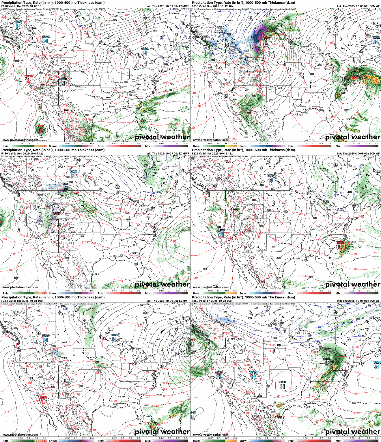
Cooler temperatures and cloudier skies will also help limit additional moisture loss from the soils next week.

