
High pressure brings sunshine before more rain chances Sunday
We enter a potentially more active pattern next week
Go Deeper.
Create an account or log in to save stories.
Like this?
Thanks for liking this story! We have added it to a list of your favorite stories.


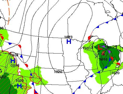
The sunny skies are back Friday and Saturday as high pressure settles back in. A system will bring rain chances Sunday, which may be the start of a more active pattern.
High pressure brings sun, but more active weather ahead
Some of us picked up some spotty rainfall Thursday night thanks to a clipper system that’s now pushed off to the east. A few lucky locations received 0.1 to 0.2 inches of rainfall.

After Thursday night’s clipper system delivered some clouds and a few spotty showers, high pressure is settling in behind it allowing for a couple days of sunny skies Friday and Saturday. We’ll see afternoon highs in the 60s across southern Minnesota with 50s north.

That will set up, especially northern Minnesota, for a chilly night Friday. Temperatures will be frosty for some up north with upper 30s to 40s south.
Turn Up Your Support
MPR News helps you turn down the noise and build shared understanding. Turn up your support for this public resource and keep trusted journalism accessible to all.

Saturday will be another sun-filled, pleasant day. We’ll see high temperatures a few degrees warmer, in the 60s for most of the state. Southern Minnesota will see upper 60s.

Clouds move back in Sunday as the next system and cool front moves in. It’s the next best widespread chance of rain as scattered showers move across the state into Sunday night.
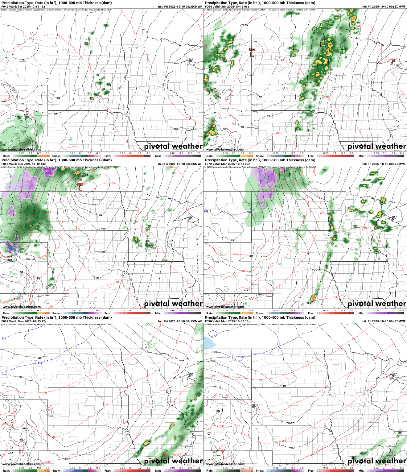
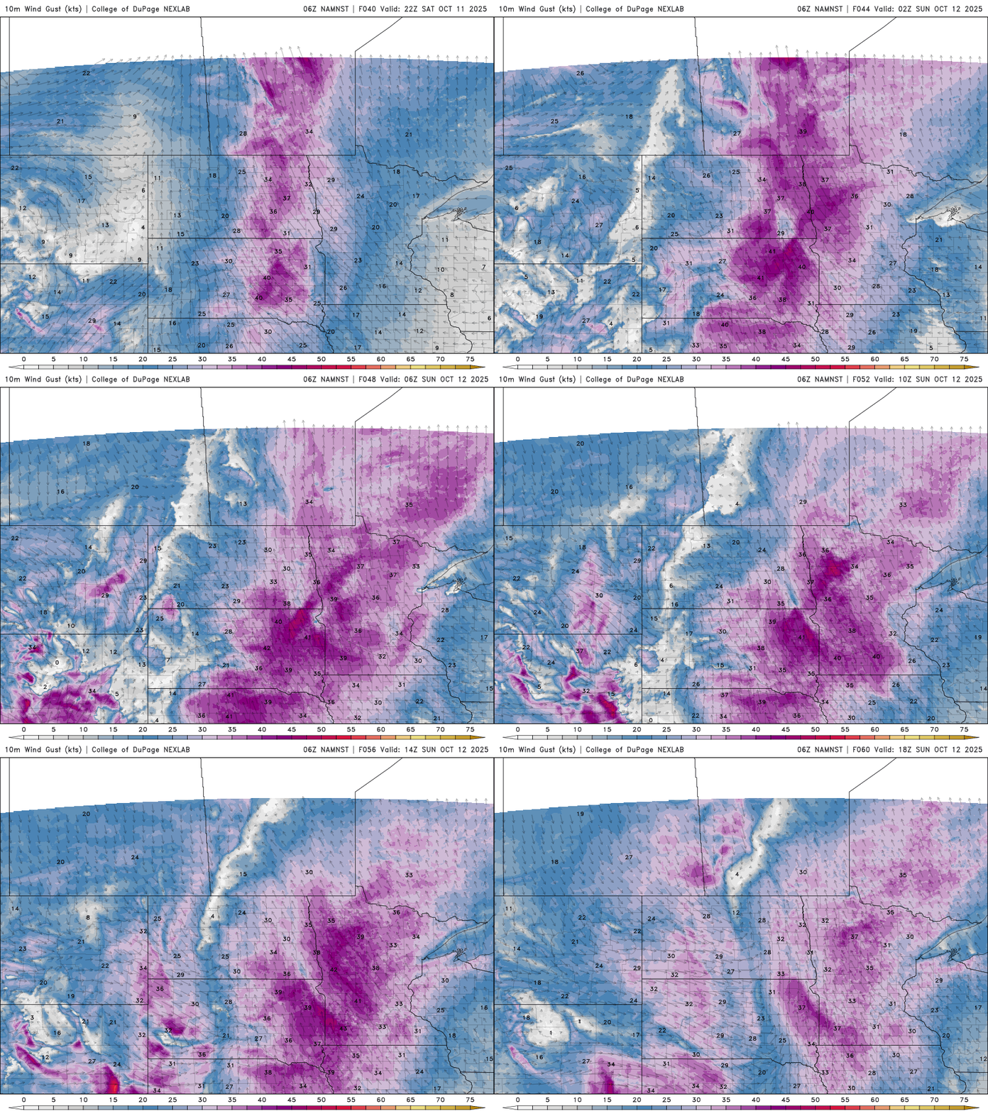
It will also become quite windy late Saturday into Sunday. Winds of 15-25 mph from the southeast will also help to bring in warmer air and moisture.
Highs Sunday will be in the 70s across southern Minnesota despite the cloud cover and some showers due to the big push north of warmer air into the system.

Behind the system and cool front, temperatures dip for Monday and Tuesday, mostly in the 50s to near 60 degrees.

A more active pattern may be setting up next week
With the recent expansion of drought in north-central Minnesota and the majority of Minnesota now classified as “abnormally dry,” we could use some rainfall. There are signs that the pattern may become more active the next couple of weeks. The jet stream has been riding well north into Canada in recent weeks, thanks to our very warm and even hot weather pattern. The jet stream is the primary track for major precipitation-producing systems.

The jet stream will be migrating south, putting Minnesota into the line of fire for storm systems bringing hopeful rainfall. Cross your fingers we can get some significant fall moisture in the soil before freeze-up later in November and early December.


