
Blustery and cloudy conditions developing by Sunday
Scattered showers possible Sunday
Go Deeper.
Create an account or log in to save stories.
Like this?
Thanks for liking this story! We have added it to a list of your favorite stories.


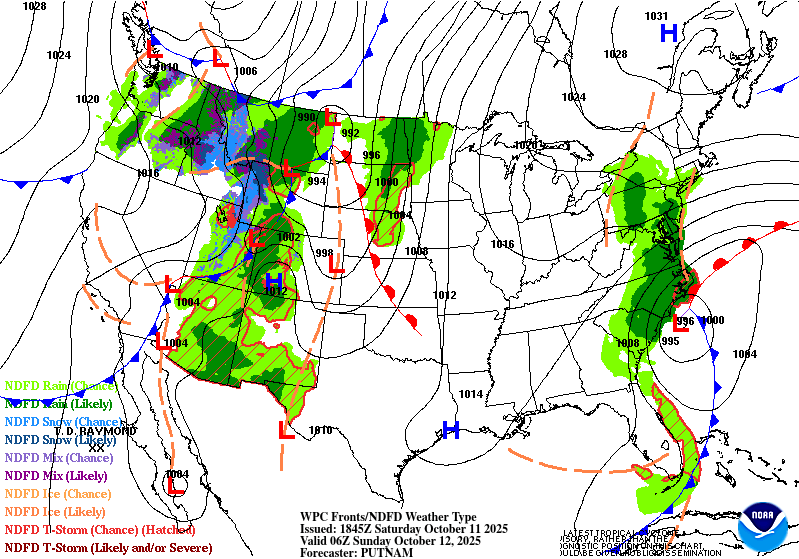
A cold front approaching from the west will bring increasing winds, thickening cloud cover, and the chance for scattered showers by Sunday.
Breezy winds Saturday night
As high pressure exits the Great Lakes and a developing low pressure system strengthens over the Rockies, a tightening pressure gradient will bring very gusty winds to the region Saturday night into Sunday. Southeasterly winds will increase to 15–25 mph with gusts reaching up to 35 mph by Sunday.
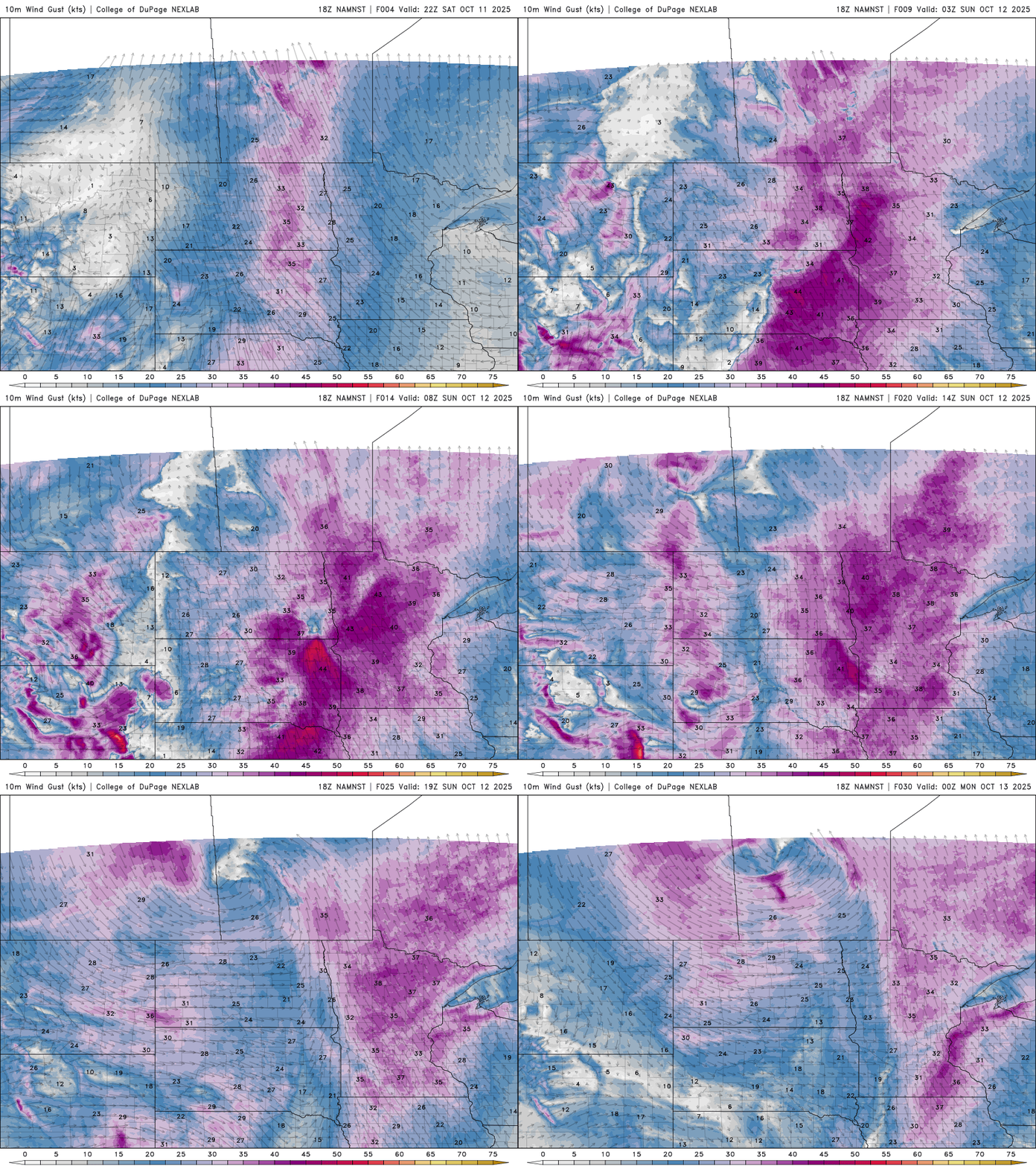
Low temperatures will remain on the mild side Saturday night into Sunday, thanks to increasing cloud cover and a steady southeast breeze. Expect lows in the mid-50s across the Twin Cities, with upper 40s in northern Minnesota and mid-50s in the south.
Turn Up Your Support
MPR News helps you turn down the noise and build shared understanding. Turn up your support for this public resource and keep trusted journalism accessible to all.

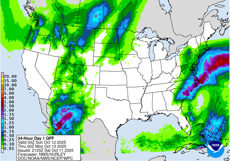
A cold front moving in will bring some scattered showers Sunday, but unfortunately, it won’t be the soaking rain we need. With 12% of the state now in moderate drought, this system won’t do much to ease the dry conditions.
Northwestern and portions of western Minnesota could receive some beneficial rainfall, with totals exceeding 0.25 inch in some areas. However, for much of the rest of the state, rainfall amounts will be more limited, generally measuring only a few tenths of an inch.
Warmer conditions are expected Sunday ahead of the approaching cold front, with gusty southeasterly winds continuing throughout the day.
High temperatures will climb into the low 70s across the Twin Cities metro, with even warmer readings, upper 70s to near 80 degrees, possible across southwestern Minnesota.


