
Windy weekend ahead with increasing rain chances
Elevated fire weather conditions expected Saturday
Go Deeper.
Create an account or log in to save stories.
Like this?
Thanks for liking this story! We have added it to a list of your favorite stories.


Dry and breezy conditions are expected Saturday, leading to elevated fire weather concerns across portions of western and central Minnesota. Rain chances return late tonight and continue into Sunday.
Elevated fire weather conditions
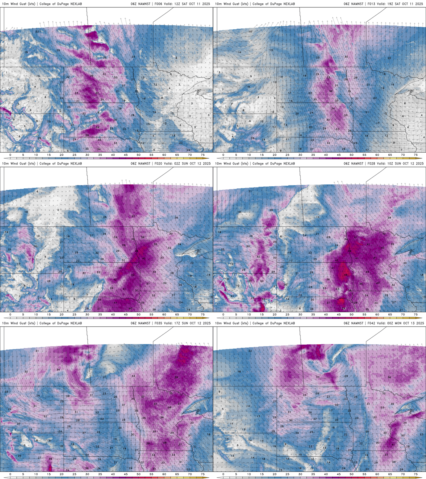
Our forecast is calling for breezy southeasterly winds around 15-20 mph, with gusts between 25-35 mph. This combined with low relative humidity values will bring a risk of elevated fire weather conditions to western and central Minnesota.

Expect breezy southeasterly winds to stick around this weekend before switching to the northwest following the passage of an approaching cold front.
Turn Up Your Support
MPR News helps you turn down the noise and build shared understanding. Turn up your support for this public resource and keep trusted journalism accessible to all.
Sunny start to Saturday
A sunny start to Saturday will allow temperatures to warm into the mid-60s in the Twin Cities, with warmer highs in the upper 60s to near 70 degrees expected across western Minnesota.

Cloud cover will gradually increase from the west as our next weather system moves through the Rockies. While dry air over western Minnesota will limit shower development on Saturday, rain chances will increase Saturday night and become more widespread through Sunday.
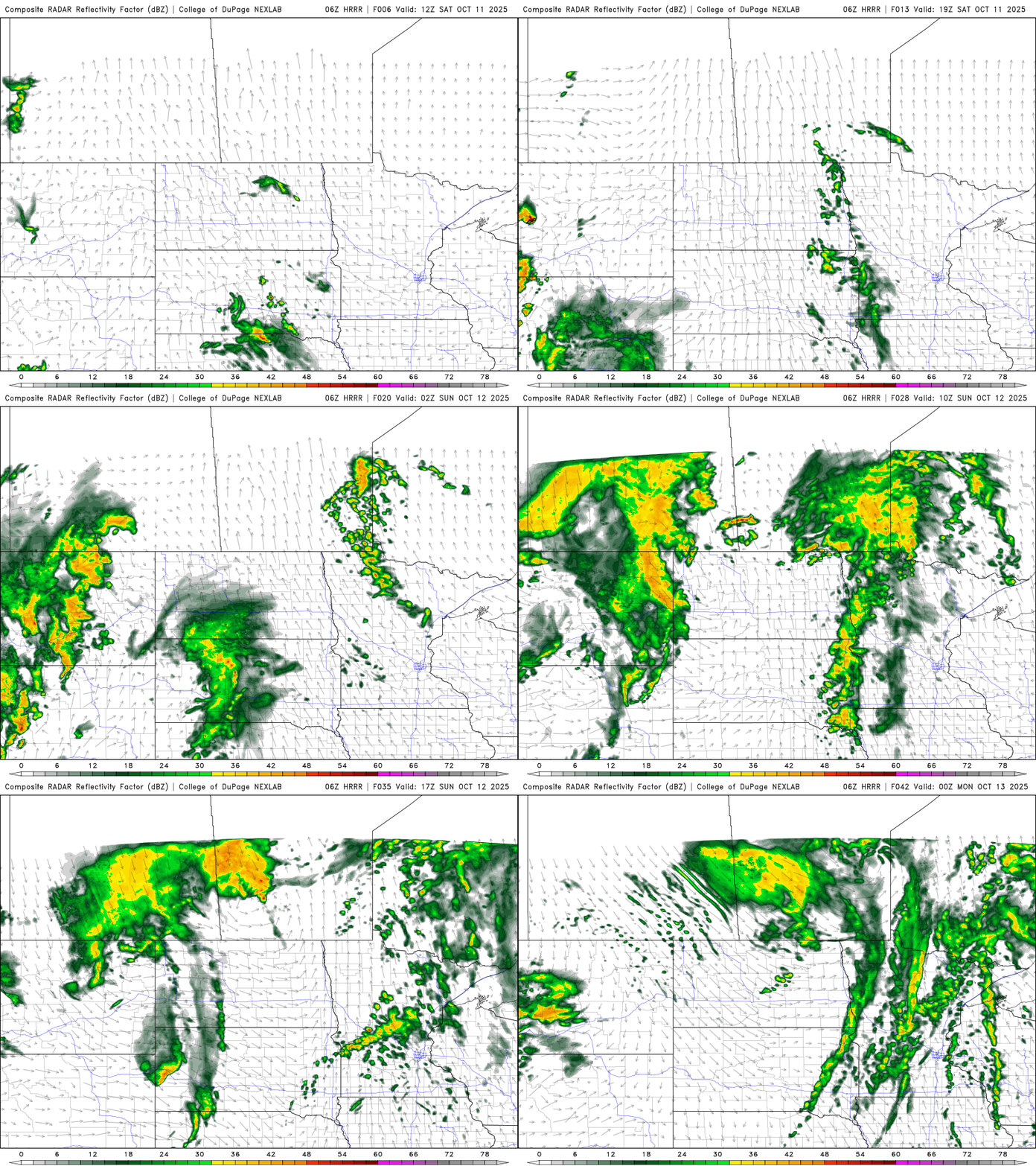
Northwestern Minnesota could receive over 0.25 inches of rain, with amounts tapering off to just a few tenths of an inch farther east.

Temperatures will cool behind the cold front Monday into Tuesday, with seasonal highs on Monday and cooler readings in the 50s on Tuesday. A warming trend begins later in the week, with 70s returning to the forecast by Friday.

