Breezy conditions and passing showers expected
Cooler temps kick off the week after cold front
Go Deeper.
Create an account or log in to save stories.
Like this?
Thanks for liking this story! We have added it to a list of your favorite stories.


Rain showers return to the forecast as a cold front moves through the region, bringing breezy winds and cooler air. Temperatures will dip to start the week, with several chances for rain expected in the days ahead.
Finally some rain
Sunday's rain showers are a welcome sight, as the Twin Cities area is running about an inch below average for October rainfall. Meanwhile, drought conditions across the state have quadrupled in just one week.
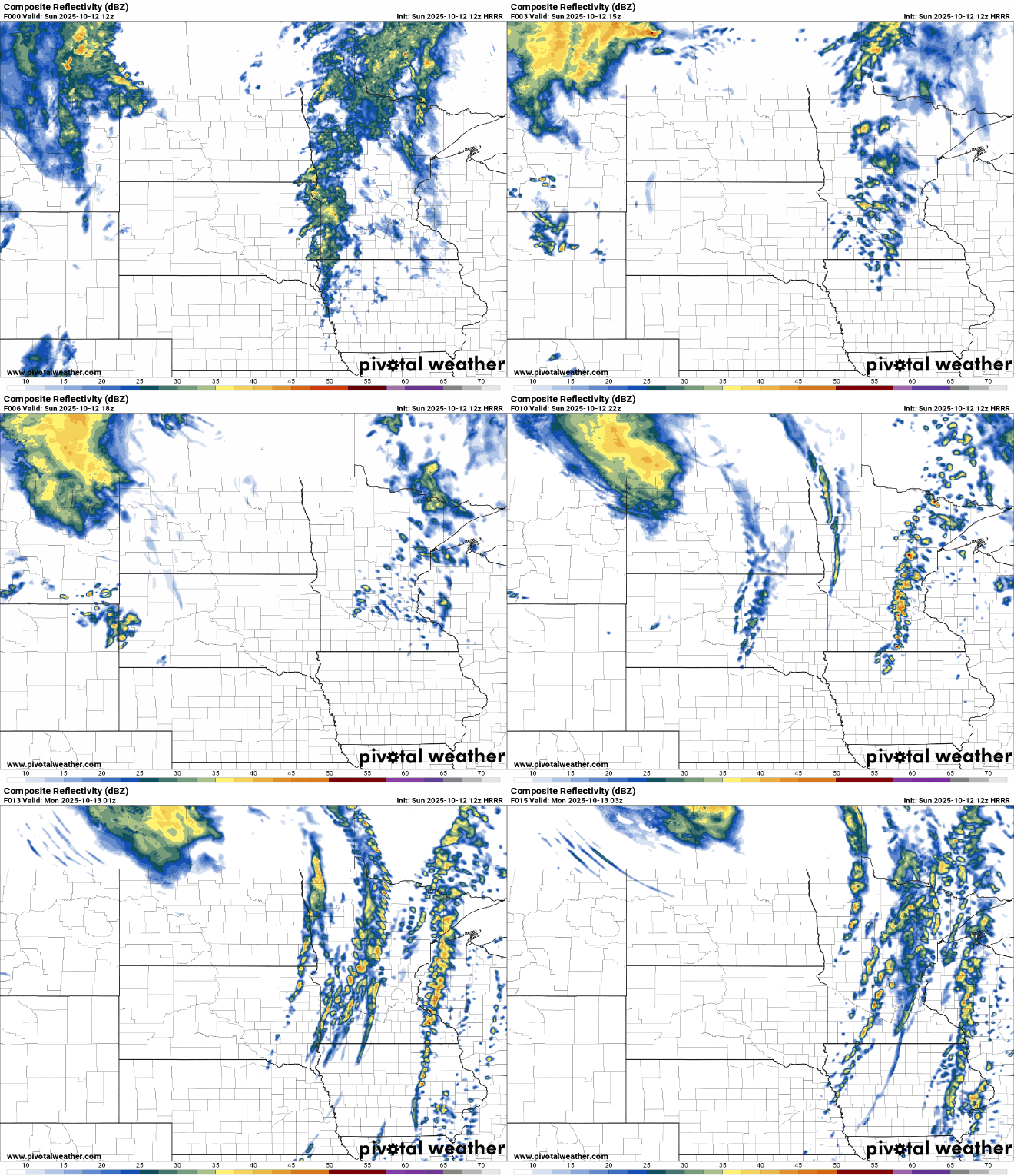
A cold front will sweep through the region Sunday, bringing multiple rounds of scattered showers. While it won’t be a soaking rain, most areas can expect between 0.10 and 0.25 inches of rainfall, with locally higher amounts possible in any thunderstorms that develop.
Turn Up Your Support
MPR News helps you turn down the noise and build shared understanding. Turn up your support for this public resource and keep trusted journalism accessible to all.
Ahead of the front, warm air and breezy southeasterly winds will push temperatures into the upper 70s across southwestern Minnesota, near 70 in the Twin Cities, and into the 60s and 70s across northern parts of the state.

Southeasterly winds will blow at 15 to 25 mph, with gusts reaching over 30 to 35 mph.

A wind advisory remains in effect for northwestern Minnesota through 8 p.m. Sunday, with gusts potentially reaching up to 50 mph.

Cooler temperatures will settle in for the work week, accompanied by sunshine and dry conditions. Expect seasonal highs in the low 60s on Monday, followed by cooler readings in the mid-50s on Tuesday.
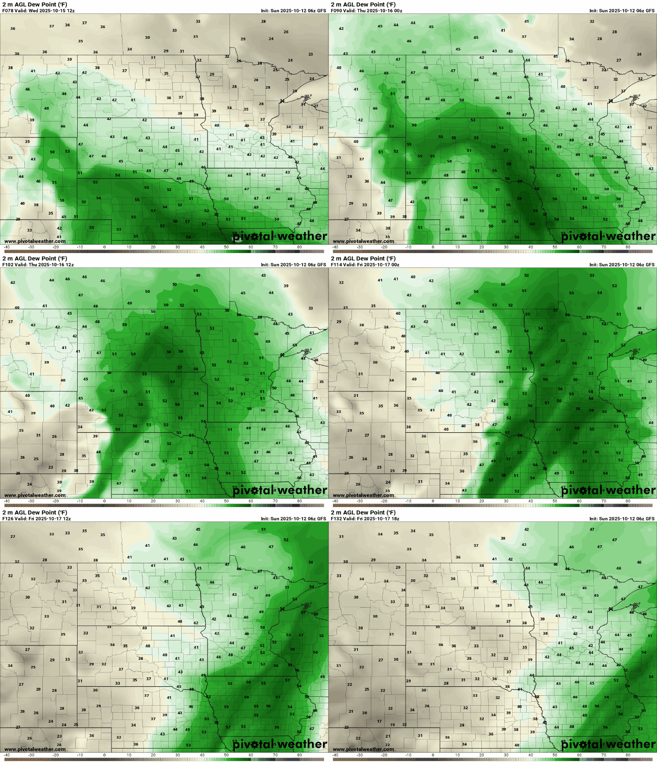
Next week looks more active, with increasing moisture leading to several chances for rain in our dry area.