
Showers linger, winds calm, skies brighten
Seasonal temperatures return for Monday
Go Deeper.
Create an account or log in to save stories.
Like this?
Thanks for liking this story! We have added it to a list of your favorite stories.


We’re wrapping up the weekend with some leftover showers and breezy conditions, but calmer and cooler weather is on the horizon.
Lingering showers with breezy winds
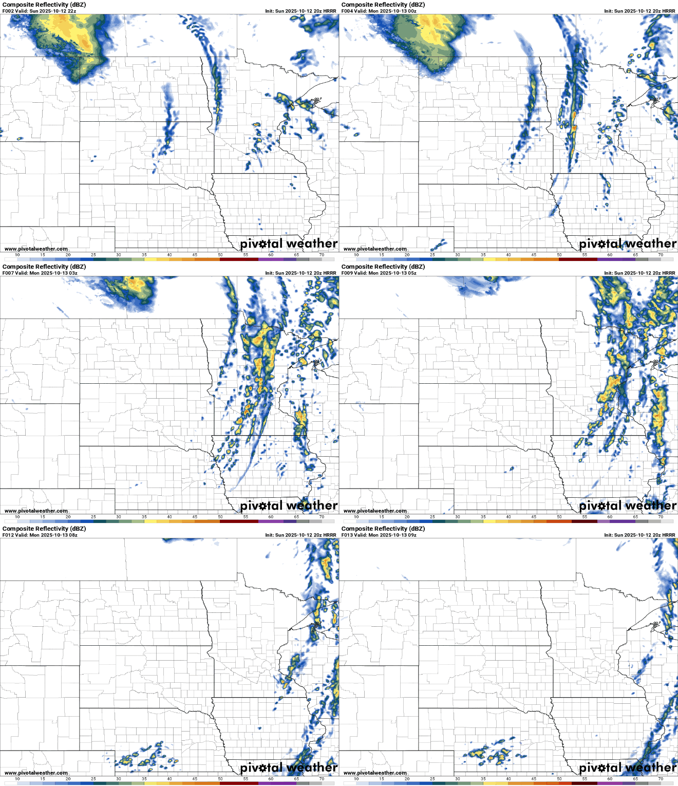
A cold front approaching from the west will slowly move across the state Sunday night. Scattered showers are expected ahead of and along the front, continuing through early Monday morning. Any additional rainfall amounts should remain light.
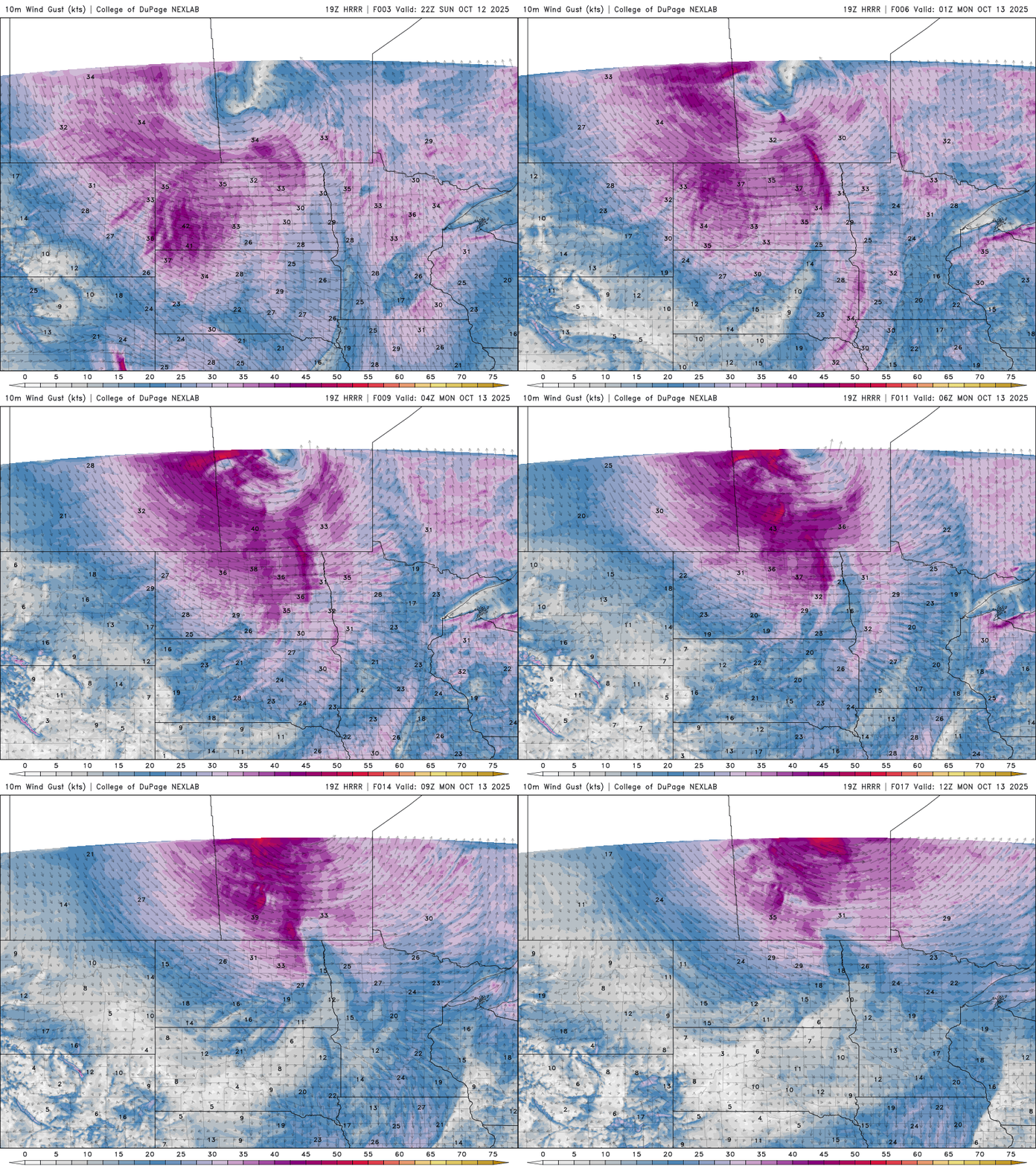
Winds will continue to gust through the night, gradually easing by Monday morning.
Low temperatures will fall into the mid to upper 30s across northern Minnesota, with 40s and 50s expected farther south.

Behind the cold front, temperatures will cool slightly on Monday, returning to more seasonal levels, with highs in the low 60s across the south and 40s to 50s in the north. High pressure moves in with plenty of sunshine and a dry start to the work week.

Turn Up Your Support
MPR News helps you turn down the noise and build shared understanding. Turn up your support for this public resource and keep trusted journalism accessible to all.

