
High pressure brings sunshine Monday after Sunday's showers
We’re in for a more active week with more rain chances ahead
Go Deeper.
Create an account or log in to save stories.
Like this?
Thanks for liking this story! We have added it to a list of your favorite stories.


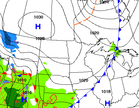
Sunshine is back Monday thanks to high pressure behind Sunday’s system. It will be cold tonight with more rain developing already Tuesday, part of an active pattern this week.
High pressure returns Monday, but a more active week ahead
Some lucky areas in central and northeastern Minnesota saw some much needed rainfall Sunday and Sunday night. The most significant band of rain fell from Redwood Falls through Willmar, Little Falls, Aitkin, Grand Rapids up to Crane Lake where those areas saw one-half to three-fourths of an inch.

After Sunday’s rainfall, sunshine is back Monday along with some cooler air as high pressure slides in behind Sunday’s system.
We’ll see afternoon highs in the low to mid-60s south to just the upper 40s in the northwest corner of Minnesota. It will also be windy in northwestern Minnesota with northwest winds 10 to 25 mph.
Turn Up Your Support
MPR News helps you turn down the noise and build shared understanding. Turn up your support for this public resource and keep trusted journalism accessible to all.

The cooler air and clear skies will set us up for a chilly night. Northern Minnesota will once again see a hard freeze with temperatures dipping into the 20s and low 30s.

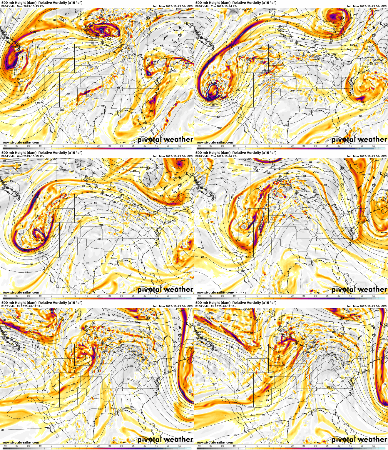
We’re in for a more active pattern this week with a disturbance moving through every other day. An upper-level low to the west will send spokes of energy and disturbances at us this week.
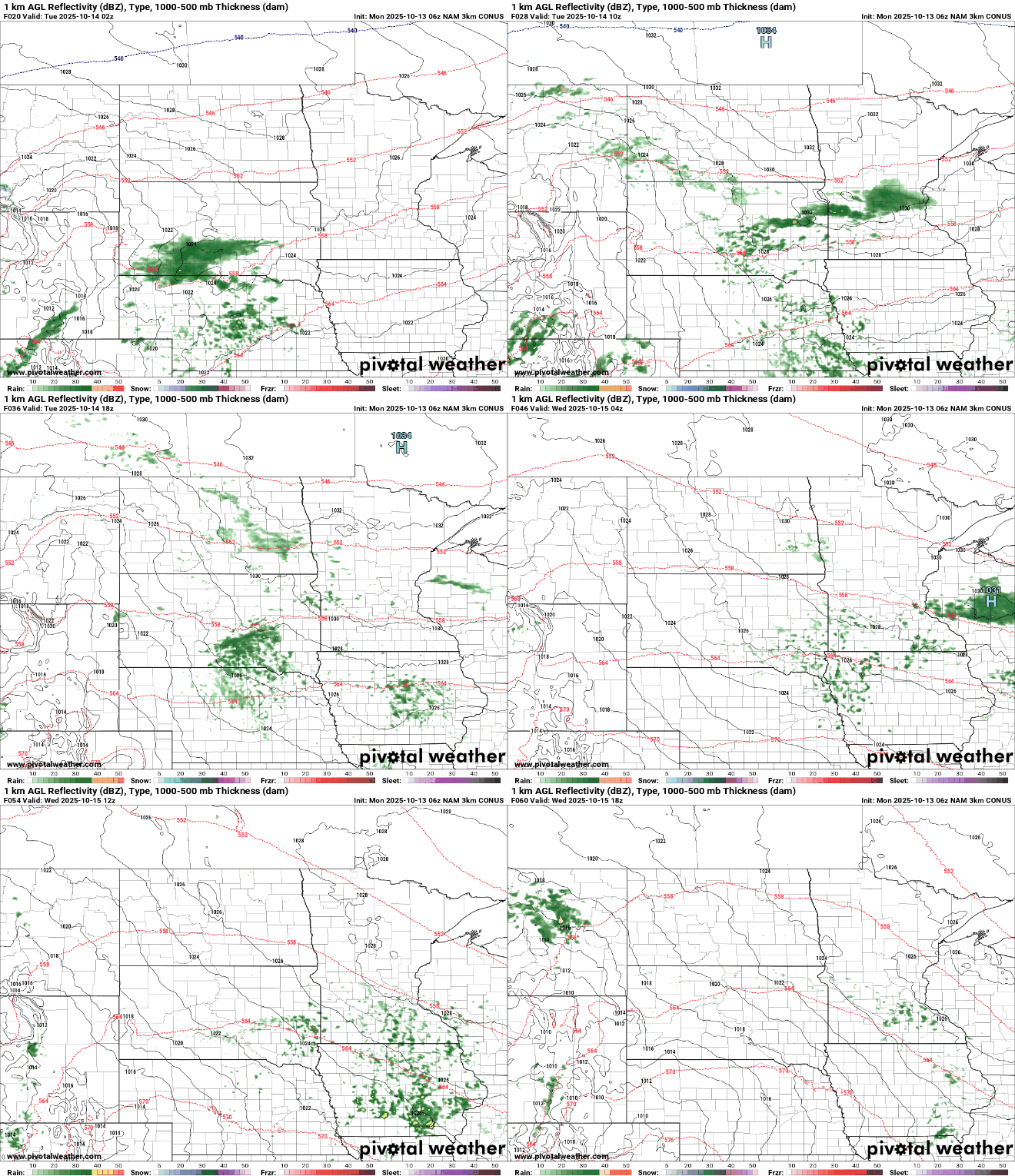
We’ll see clouds roll in late Monday night in southern Minnesota. Scattered showers develop by midday and afternoon into the overnight Tuesday. This will be mostly a southern Minnesota event with one-quarter to fourth-tenths of an inch of rain possible from the Twin Cities, and points south.
Wednesday should be mostly dry behind that, but still pretty cloudy. The slowly moving upper low on the Pacific coast will finally arrive by the end of the week, bringing more showers Thursday and Friday, but also warmer temperatures in the 70s for southern Minnesota.
Those showers should exit in time for most of the upcoming weekend. In total this week, rainfall could add up to almost 1 inch for some places but most will see anywhere from one-quarter to three-fourths of an inch through Saturday.

The system should exit in time for most of the upcoming weekend allowing clouds to decrease Saturday and especially Sunday.

