Increasing cloud cover Monday night; rain showers possible southwest
Brief cooldown Tuesday, followed by a late-week warmup
Go Deeper.
Create an account or log in to save stories.
Like this?
Thanks for liking this story! We have added it to a list of your favorite stories.


Clear and cool conditions early Monday night will give way to increasing clouds from the southwest, signaling our next round of showers.
Cool night ahead for the north
Our bright start to the work week is thanks to high pressure that will keep skies clear Monday night and bring a hard freeze back to the Northland.
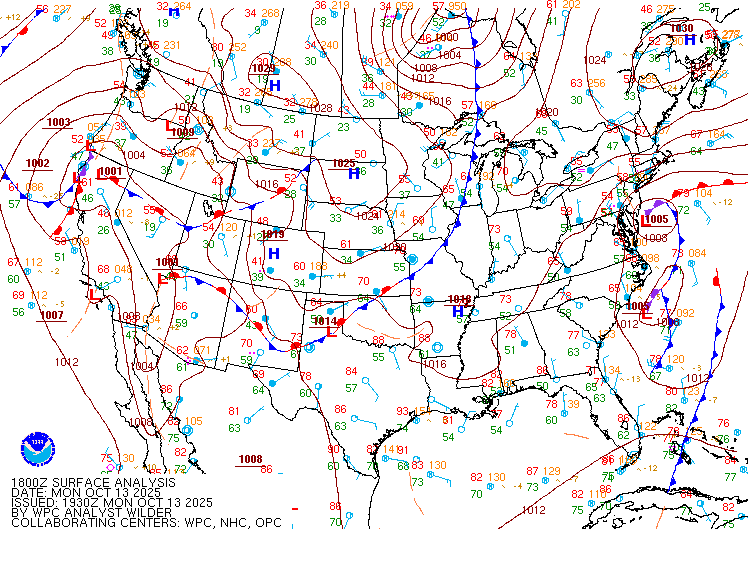
Temperatures will drop into the upper 20s up north, while central and southern Minnesota stay milder in the low to mid-40s.

Look for clouds to roll in quickly from the southwest by Tuesday morning as our next weather system approaches.
Turn Up Your Support
MPR News helps you turn down the noise and build shared understanding. Turn up your support for this public resource and keep trusted journalism accessible to all.
Our active weather pattern will bring multiple chances for rain this week, with the highest chances on Tuesday and Thursday.
Tuesday’s system is expected to stay mostly in southern and southwestern parts of the state early on, then spread northeastward during the afternoon and evening.
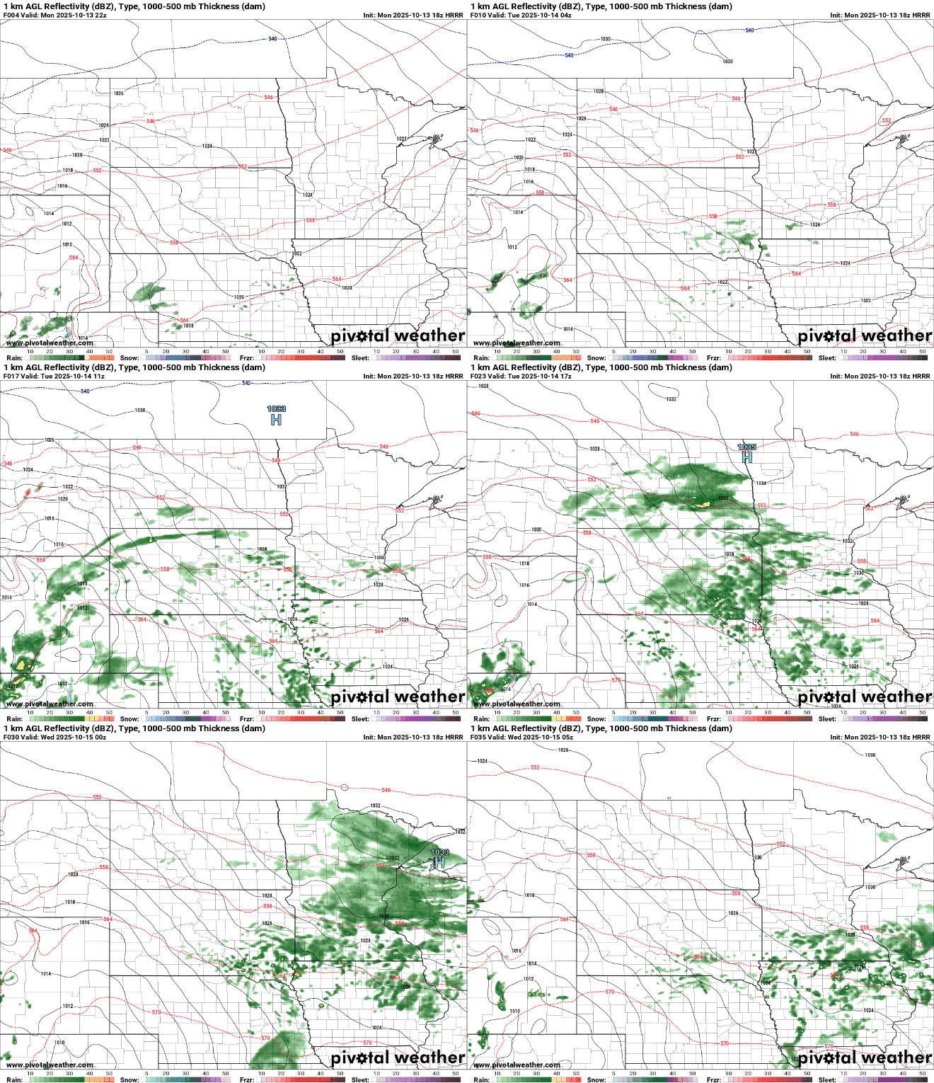
Rainfall from Tuesday’s system could total between one-quarter and one-half inch in southern Minnesota, with the Twin Cities likely receiving just less than one-quarter inch.

Tuesday looks to be the coolest day in the forecast, with highs only in the low to mid-50s thanks to cloud cover and scattered rain showers.

Another round of rain returns Wednesday night into Thursday, with northern Minnesota expected to see the heaviest amounts. Temperatures will rebound into the mid-60s to even mid-70s by Thursday and Friday.