
Warmer Thursday and Friday with occasional showers
Temperatures will be about 15 degrees above normal Thursday and Friday
Go Deeper.
Create an account or log in to save stories.
Like this?
Thanks for liking this story! We have added it to a list of your favorite stories.


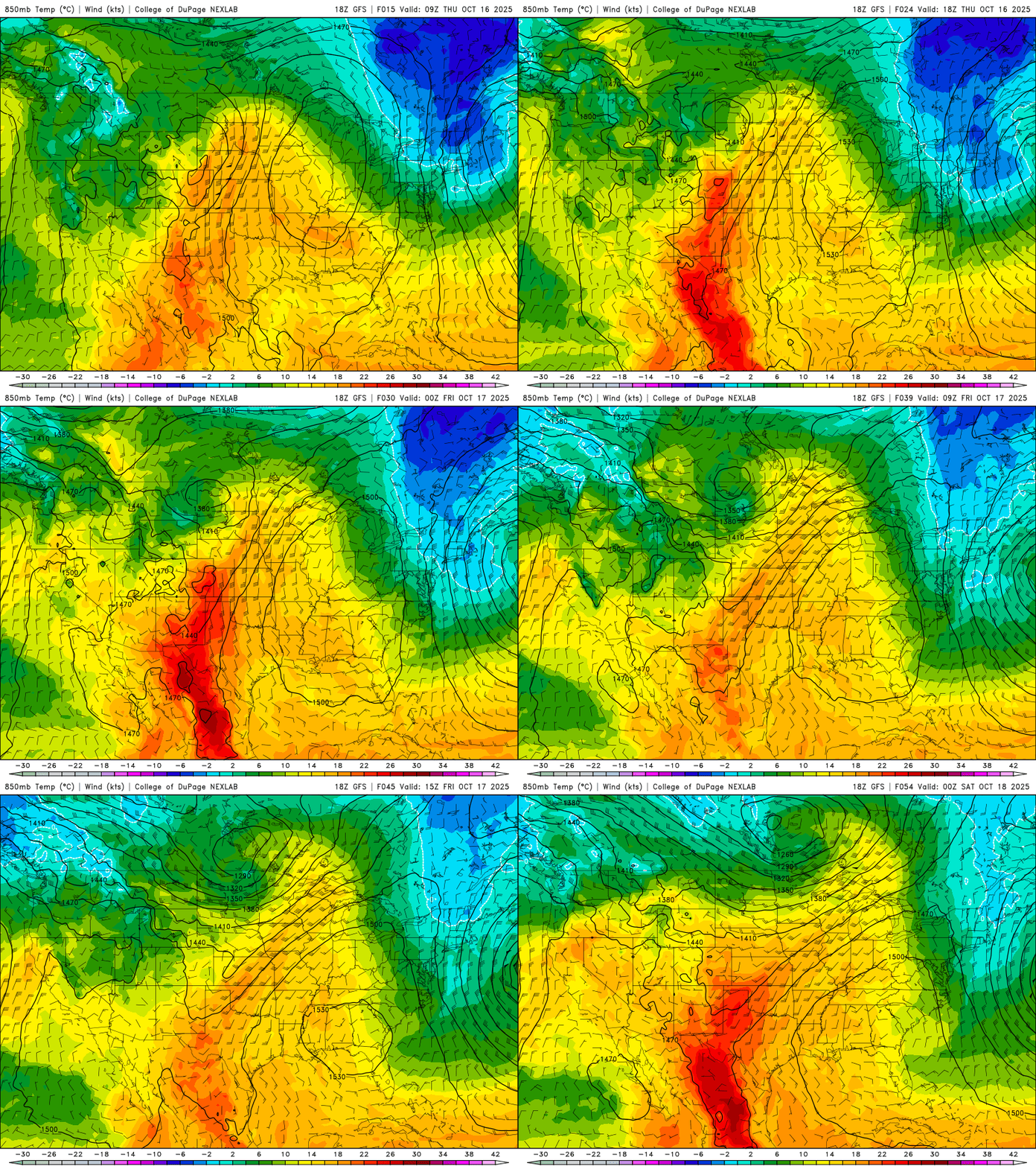
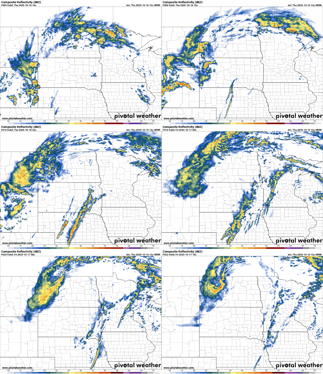
We have some scattered showers lifting north Thursday along with a warmer air mass. More showers will be possible Friday as a cold front moves through.
Warmer air and some occasional showers Thursday and Friday
Scattered showers will lift north across the state Thursday morning into the midday and afternoon. Southern Minnesota should be mainly dry with some spotty redevelopment later in the day possible.
The latest system is also pulling in a warmer air mass. Afternoon highs, with some peeks of sun, will be in the 70s across southern Minnesota.

Friday will also be warm across southern Minnesota before cooler air moves in for the weekend.

Another round of showers is possible Friday as a cool front moves through. But once again, most rainfall will likely remain north and east.
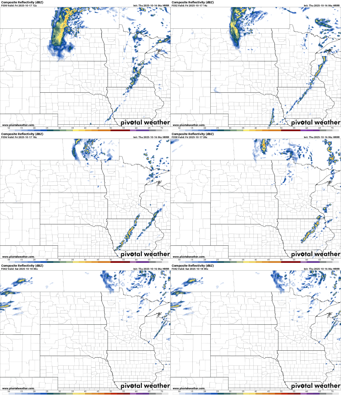
Most rainfall Thursday into Friday will be confined to far northern Minnesota and Wisconsin. Areas like the Twin Cities and much of southern Minnesota will likely see under one-tenth of an inch.

The weekend looks pretty nice with decreasing clouds. Southern Minnesota may see a few showers Saturday, but it will be drier and brighter for most. Temperatures will be seasonable, mostly in the 50s and 60s both Saturday and Sunday.
Turn Up Your Support
MPR News helps you turn down the noise and build shared understanding. Turn up your support for this public resource and keep trusted journalism accessible to all.

