
Warm Friday ahead of a cool front with spotty showers
The weekend will be cooler but pleasant
Go Deeper.
Create an account or log in to save stories.
Like this?
Thanks for liking this story! We have added it to a list of your favorite stories.


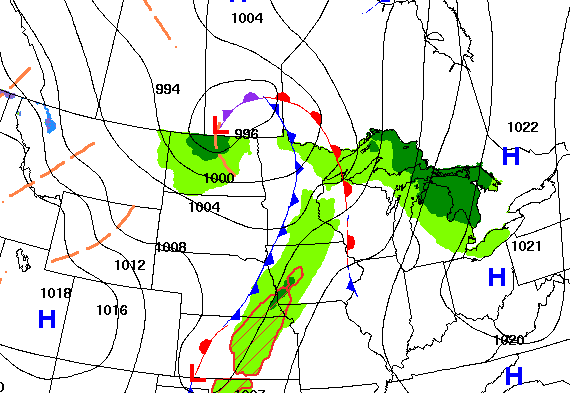
A cool front associated with the latest low pressure area to our north will swing through Friday, touching off spotty showers and keeping things warm ahead of it.
Spotty showers possible and warmer ahead of cool front Friday
We will remain on the warm side of the latest system much of Friday for the Twin Cities and southeast Minnesota into western Wisconsin. That means afternoon highs potentially in the 70s.

The cold front will touch off some spotty showers only, so don’t look for a whole lot of rainfall Friday. Most rainfall will be confined to Wisconsin and well north near the low pressure center.
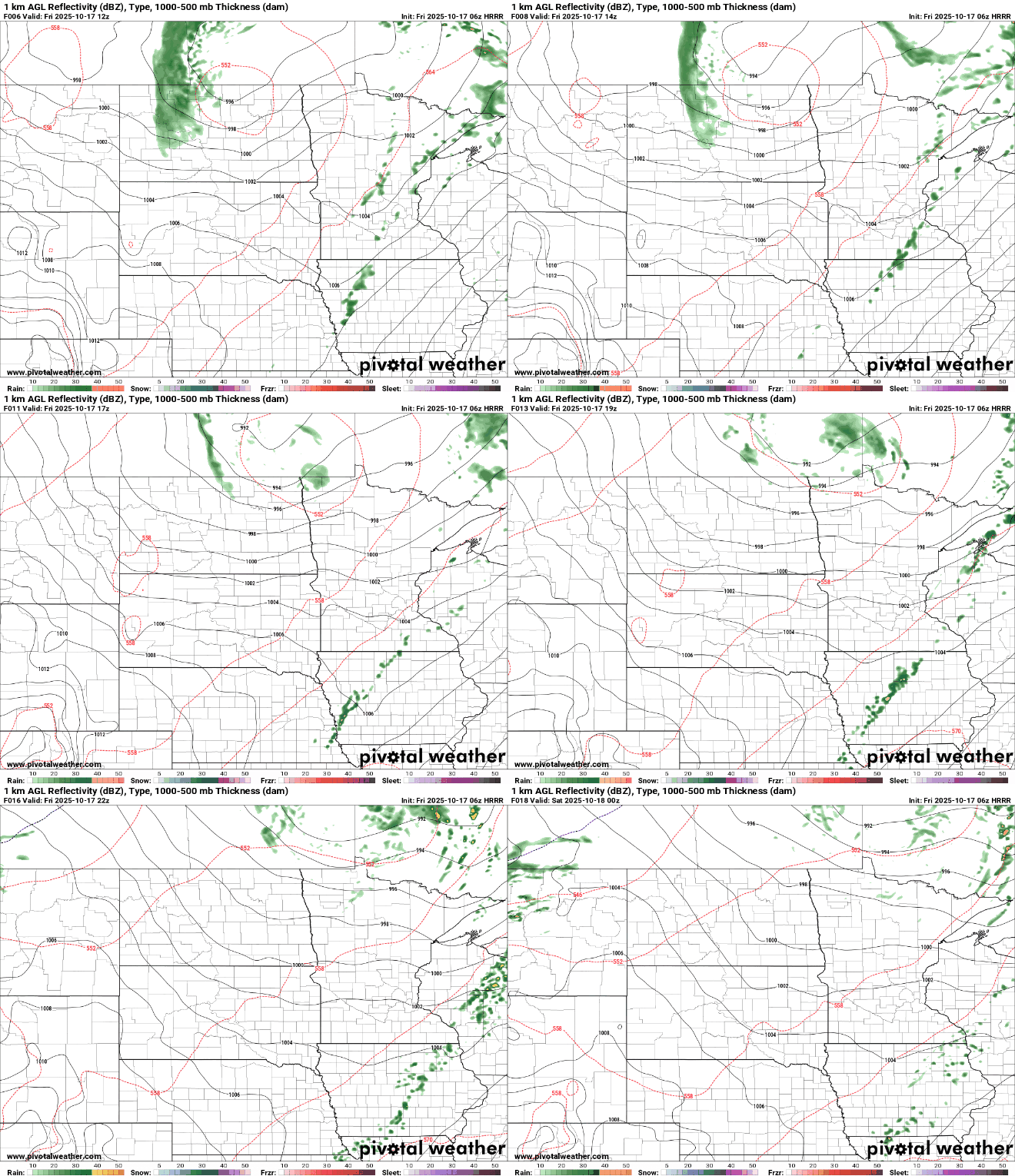
It will be cooler but still near or above normal this weekend with highs in the 60s and 50s for most.

Southern Minnesota may see a few showers late Saturday into Saturday night as a quick-moving disturbance moves through the region.
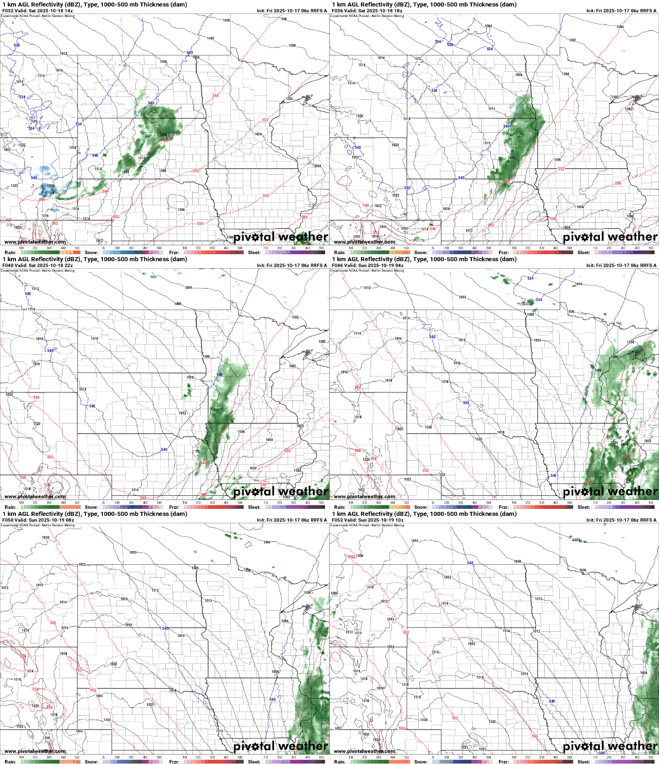
Next week will yield seasonable temperatures, mostly in the 50s and some 60s along with a couple more potential weather systems producing at least some spotty rain chances late Monday and again midweek. Of note: A batch of cool air moves in Tuesday and Wednesday which will lead to some chilly morning lows early Wednesday. Northern Minnesota will likely be frosty yet again.

Turn Up Your Support
MPR News helps you turn down the noise and build shared understanding. Turn up your support for this public resource and keep trusted journalism accessible to all.

