
Few evening showers then cooler overnight with lots of sun Sunday
More shower chances and cool air next week
Go Deeper.
Create an account or log in to save stories.
Like this?
Thanks for liking this story! We have added it to a list of your favorite stories.


A disturbance will touch off a few evening showers for southern Minnesota followed by clearing skies and chillier temps. Sunday will feature lots of sunshine.
A few evening showers followed by a cooler night and abundant sunshine Sunday
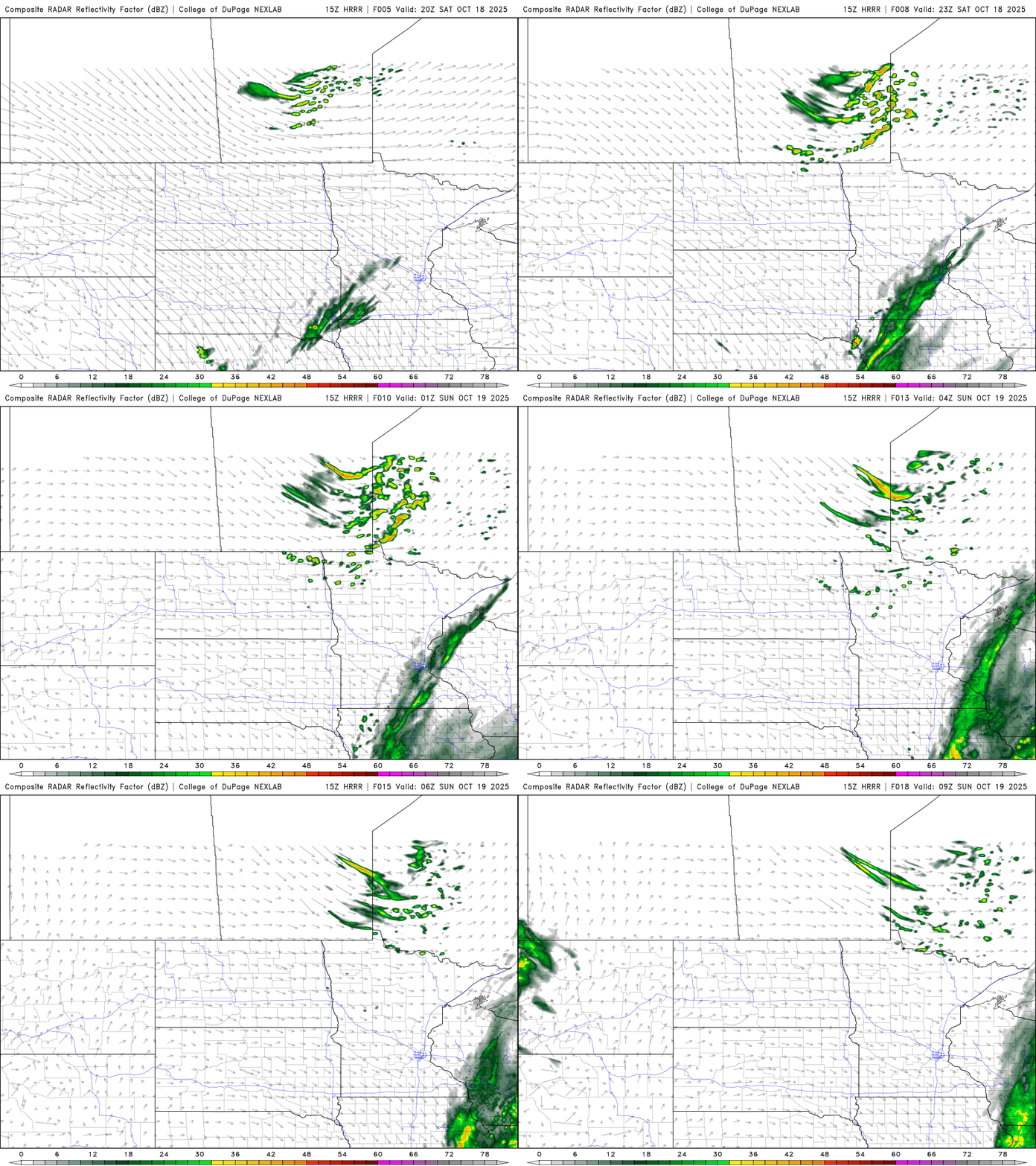
A quick-moving disturbance is touching off a few spotty light rain showers across southern Minnesota late this afternoon and evening into the early overnight. Any rainfall will be rather light.
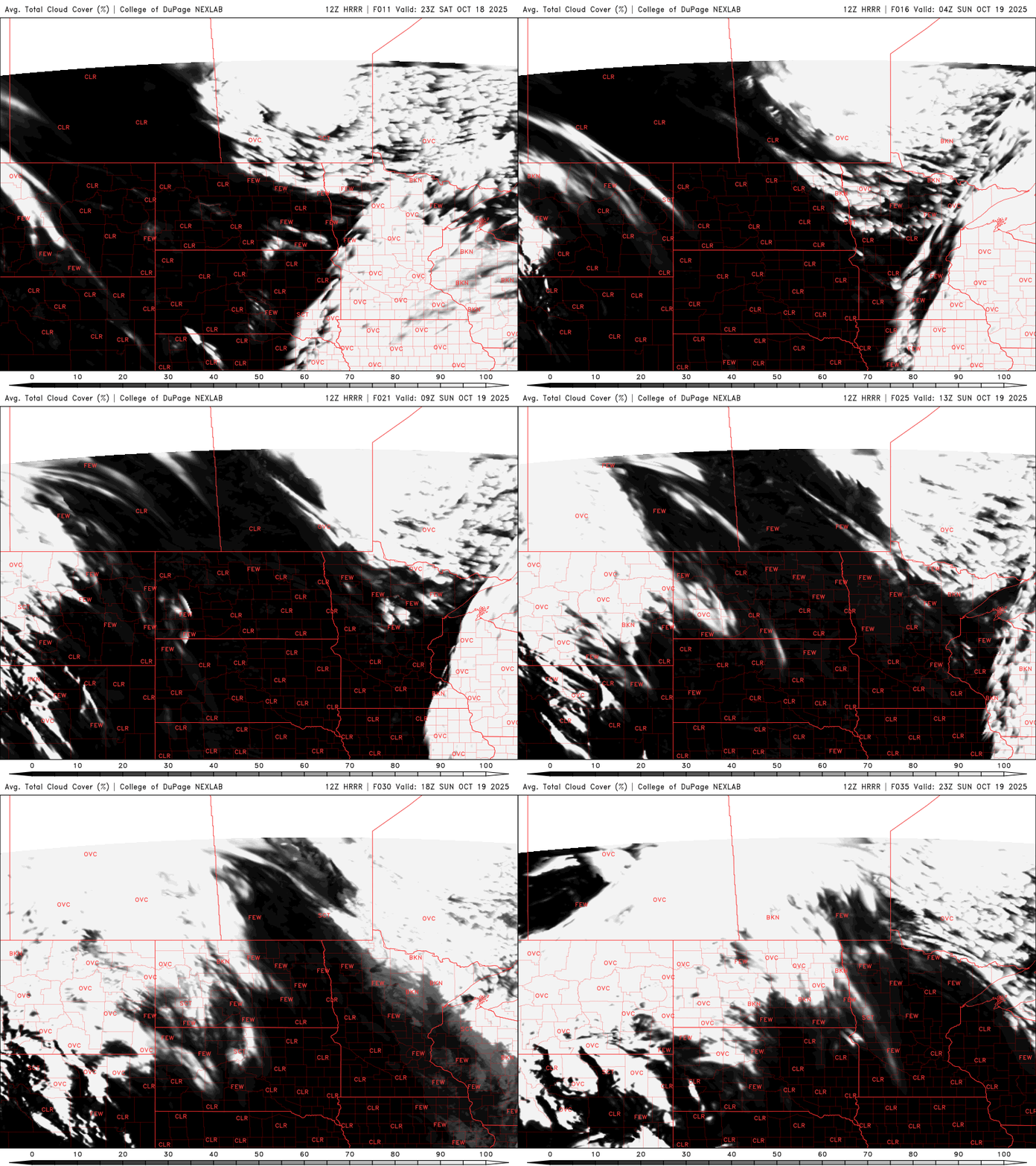
Clouds will then clear out overnight, making for a chilly overnight as cooler air also slides in along with the clearing skies. Much of northern Minnesota will be frosty.

Sunday will be sun-filled and a picturesque autumn day. We’ll have mostly clear skies, except in northeast Minnesota where some areas of ‘fair-weather’ cumulus clouds will develop. Highs will be mostly in the 50s to near 60-degrees.

Monday will be briefly a bit milder, with 60s returning to southern Minnesota but clouds will increase again as another weak disturbance touches off some spotty showers late Monday into Tuesday.
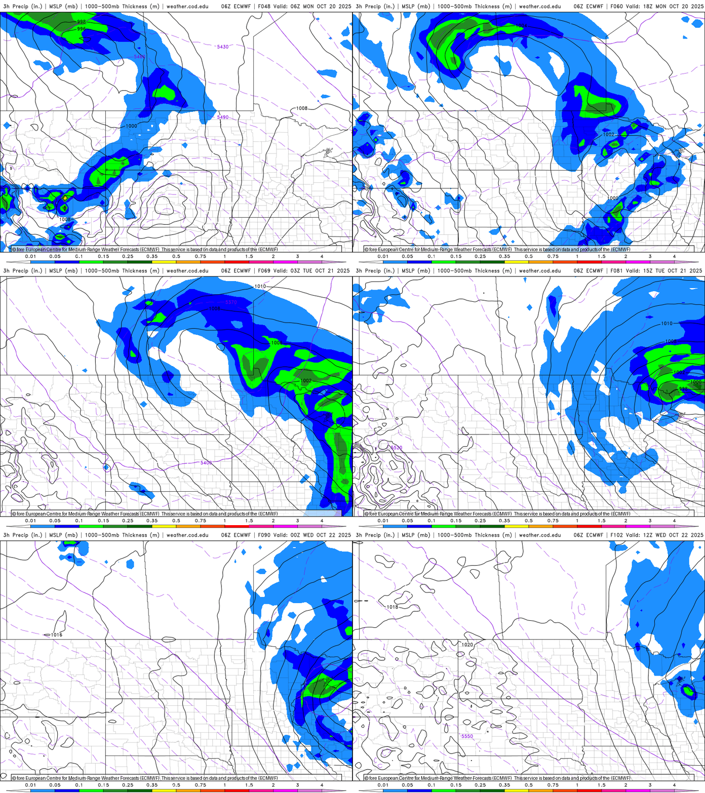
That system will pull down some even cooler air, which will mean Tuesday’s highs will struggle to reach even 50-degrees for much of the state.

That will set us up for some cold and frosty nights for most Tuesday and Wednesday nights. It won’t last real long, we could be back in the 60s to even near 70-degrees by the end of the week.
Turn Up Your Support
MPR News helps you turn down the noise and build shared understanding. Turn up your support for this public resource and keep trusted journalism accessible to all.

