
Spotty showers possible south Saturday; brighter Sunday
Next week will feature a temperature roller coaster
Go Deeper.
Create an account or log in to save stories.
Like this?
Thanks for liking this story! We have added it to a list of your favorite stories.


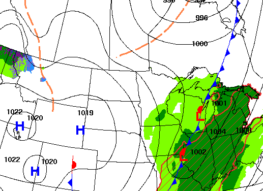
A fast-moving disturbance will touch off some spotty evening and overnight showers. Cooler air moves in behind that for Sunday but, so too, does abundant sunshine.
Spotty showers possible south later today with sunshine returning statewide tomorrow
Temperatures will still be mild today, despite yesterday’s cold front. Southern Minnesota will see afternoon highs in the 60s still with 50s north.

Clouds will increase for southern Minnesota Saturday as a fast-moving disturbance brings some spotty afternoon showers to southwest Minnesota and by evening and overnight for the Twin Cities and southeast Minnesota into western Wisconsin.
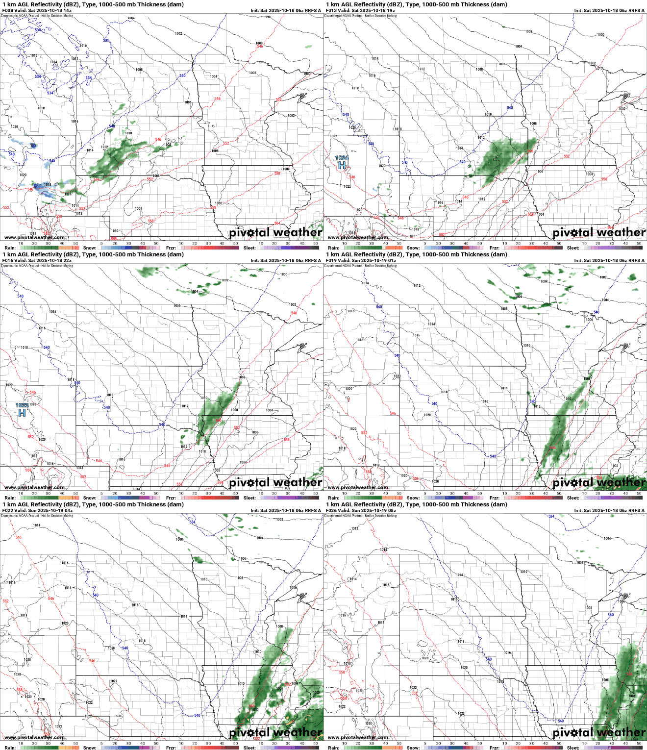
Cooler air moves in behind the disturbance making for a chillier overnight as clouds clear out. Lows will be in the 40s south with 30s north and areas of frost. Temperatures will be closer to normal Sunday along with the return of bright sunshine, statewide.

Next week will feature a bit of a temperature roller coaster with milder temperatures Monday but chillier air moves in Tuesday and Wednesday when we’ll see highs in the 50s and 40s only.

A chilly Tuesday will be setting us up for a frosty night outside the Twin Cities Tuesday night and Wednesday night.

There will also be some additional chances for at least a little rain later Monday and Tuesday.
Turn Up Your Support
MPR News helps you turn down the noise and build shared understanding. Turn up your support for this public resource and keep trusted journalism accessible to all.

