
Sunny, breezy and seasonable Sunday

Go Deeper.
Create an account or log in to save stories.
Like this?
Thanks for liking this story! We have added it to a list of your favorite stories.


We have a beautiful fall day ahead of us. It will be sunny, breezy and seasonable, keeping an average high of 57 and average low of 40.
Having Friday’s 70s still fresh in memory, we have to start lowering our standards of "warm" as we move into late October. Overall, the week ahead will feature near to below average temperatures, leading to highs more commonly in the 50s and some frosty mornings by the later part of the week.
In the short-term, temps get a slight boost in southeast Minnesota on Monday ahead of an approaching system. Meanwhile, northwest Minnesota gets a taste of cooler conditions to come.

By Tuesday, we move from “sweater weather” into a need for a sturdier jacket as highs stay in the 40s for much of Minnesota.

While it'll still be a bit before we start talking about wind chill, the cooler days will be accompanied by a healthy breeze. Today's winds will be around 15 mph with gusts up to 30 mph. Tomorrow is a touch breezier out of the south. By Tuesday, we'll be on the backside of a cold front with northwest winds gusting as high as 40 mph.
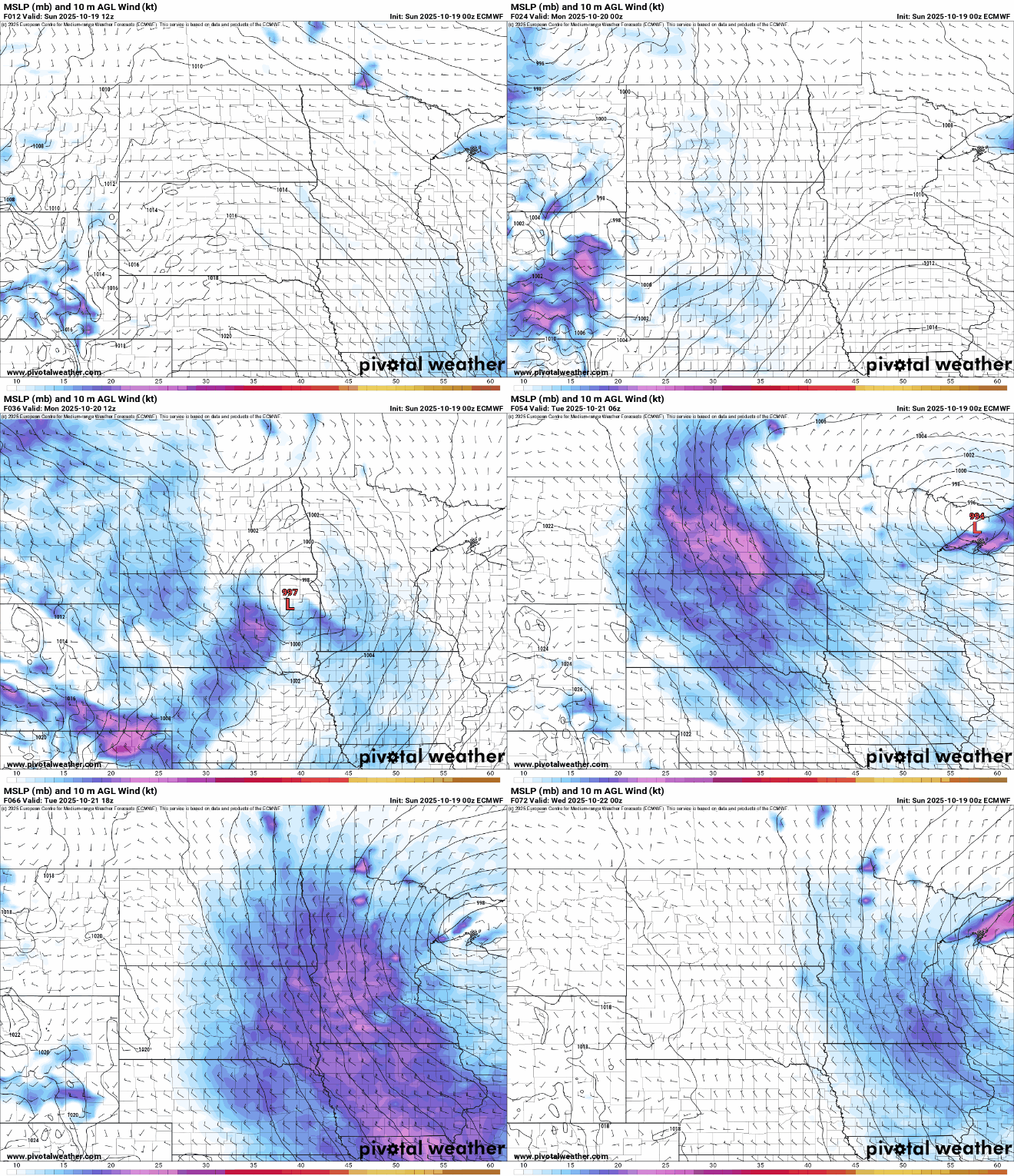
Those winds come with a system crossing the region bringing scattered showers Monday and Tuesday. We'll enter another dry stretch after that.
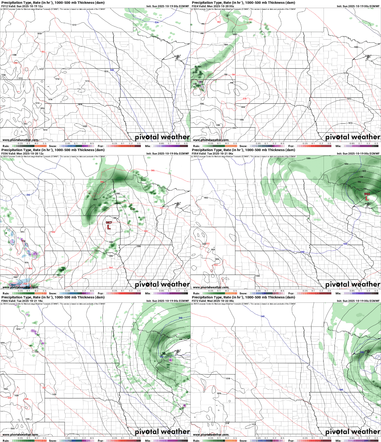
This one rainmaker in the forecast won't bring much accumulation, with an exception in northern communities. We could see around a tenth of an inch in the Twin Cities with less than that looking south of I-94. Amounts rise to a good quarter inch in northern Minnesota with up to about an inch in the Arrowhead.

Turn Up Your Support
MPR News helps you turn down the noise and build shared understanding. Turn up your support for this public resource and keep trusted journalism accessible to all.

