
Briefly milder Monday, but cold air is moving in
Some showers Monday and into Tuesday
Go Deeper.
Create an account or log in to save stories.
Like this?
Thanks for liking this story! We have added it to a list of your favorite stories.


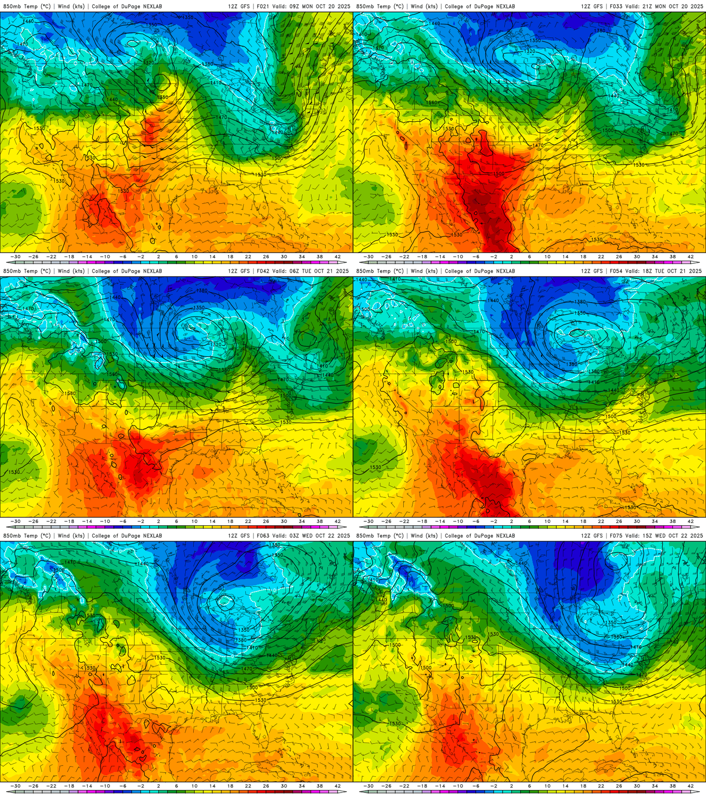
It’ll be briefly milder Monday, but a disturbance will bring clouds and some showers Monday into Tuesday. It will also pull down our coldest air this season so far.
Monday morning sun gives way to clouds
Enjoy a briefly milder day Monday as warm air is drawn in ahead of our next disturbance moving into the region. We’ll see sun to start, but clouds will increase heading into the midday and afternoon.
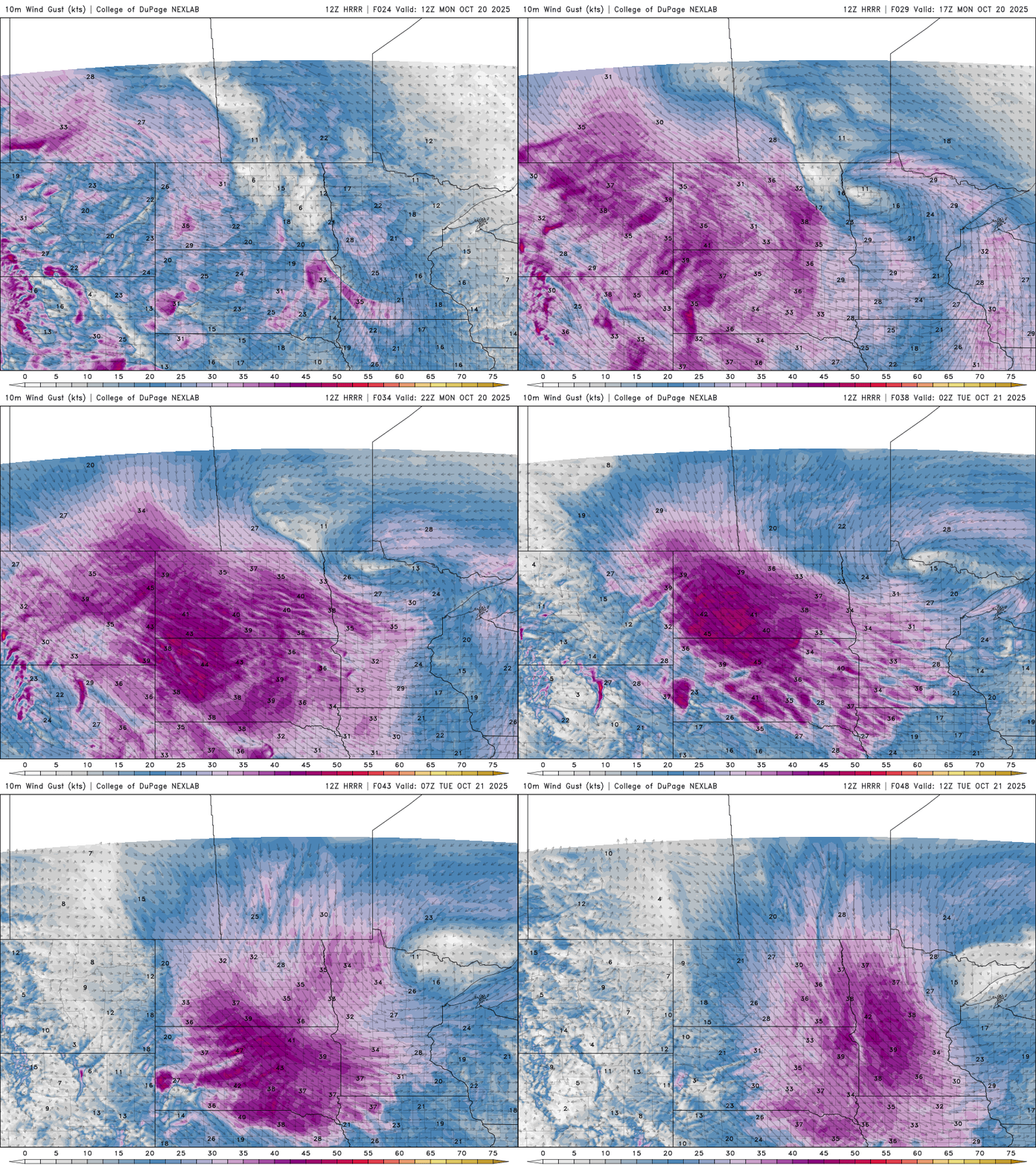
Highs will be in the low 60s in southern Minnesota to just upper 40s north. It will also be windy with south winds becoming west 10 to 25 mph with higher gusts, especially west.

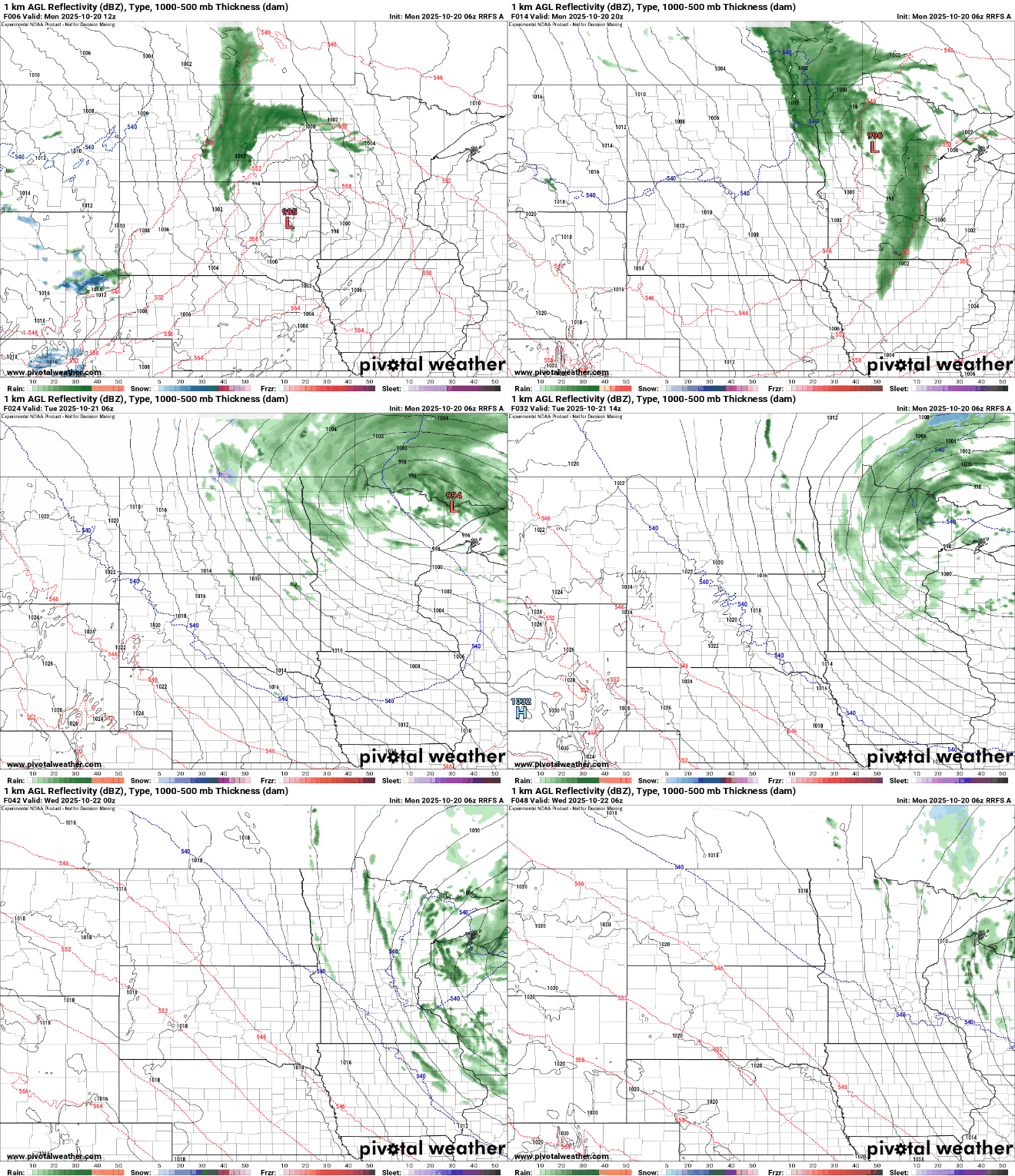
Within those advancing clouds, we’ll see scattered showers develop for northern Minnesota with more spotty activity in southern Minnesota midday Monday into Monday night and Tuesday.
Turn Up Your Support
MPR News helps you turn down the noise and build shared understanding. Turn up your support for this public resource and keep trusted journalism accessible to all.
Some of the showers could mix with snow flakes in northern Minnesota Monday night and early Tuesday.
The disturbance will pull down our coolest air yet of fall for the next few days. High temperatures Tuesday will remain in the 40s all day across most of Minnesota with wind chill values in the 30s.

It will be a raw, cold, blustery day Tuesday thanks to northwest winds at 15 to 30 mph. We could see 50 mph gusts in western Minnesota.
The chilly air mass will set us up for a few consecutive cold nights for a change. We’ll have to watch for frost, even in the Twin Cities metro area by early Wednesday and Thursday mornings, with a hard freeze for much of the state.

Temperatures rebound some by the end of the week and weekend, into the 50s and 60s — a little bit above normal again. After a few gloomy days, sunshine will return Thursday.


