
Brighter Thursday with widespread frost tonight
Warmer temperatures arrive for the weekend

Go Deeper.
Create an account or log in to save stories.
Like this?
Thanks for liking this story! We have added it to a list of your favorite stories.


We should see more sunshine today across southern and western Minnesota. Tonight will see widespread frost and freezing temps across the state. Warmer air moves in for the weekend.
Brighter skies today but widespread frost tonight before a weekend warmup
We’ll finally see light winds today and more sunshine for most of central, southern and western Minnesota. Clouds will linger in northeast Minnesota, keeping temps in the 40s there. Highs will be in the low to mid 50s south and west.

Tonight will be our coldest night yet for eastern Minnesota. Lows will drop into the low to mid 20s northeast into western Wisconsin, with frost finally possible even in most of the Twin Cities metro area.
We’ll see more sun Friday with temperatures warming up a bit more, into the 50s and even low 60s in west central Minnesota.

Highs Saturday and Sunday will be warmer still, with widespread low 60s south and west.

A weak clipper system may touch off a few isolated showers Friday night and Saturday, otherwise we’ll see a mix of clouds and sun over the weekend.
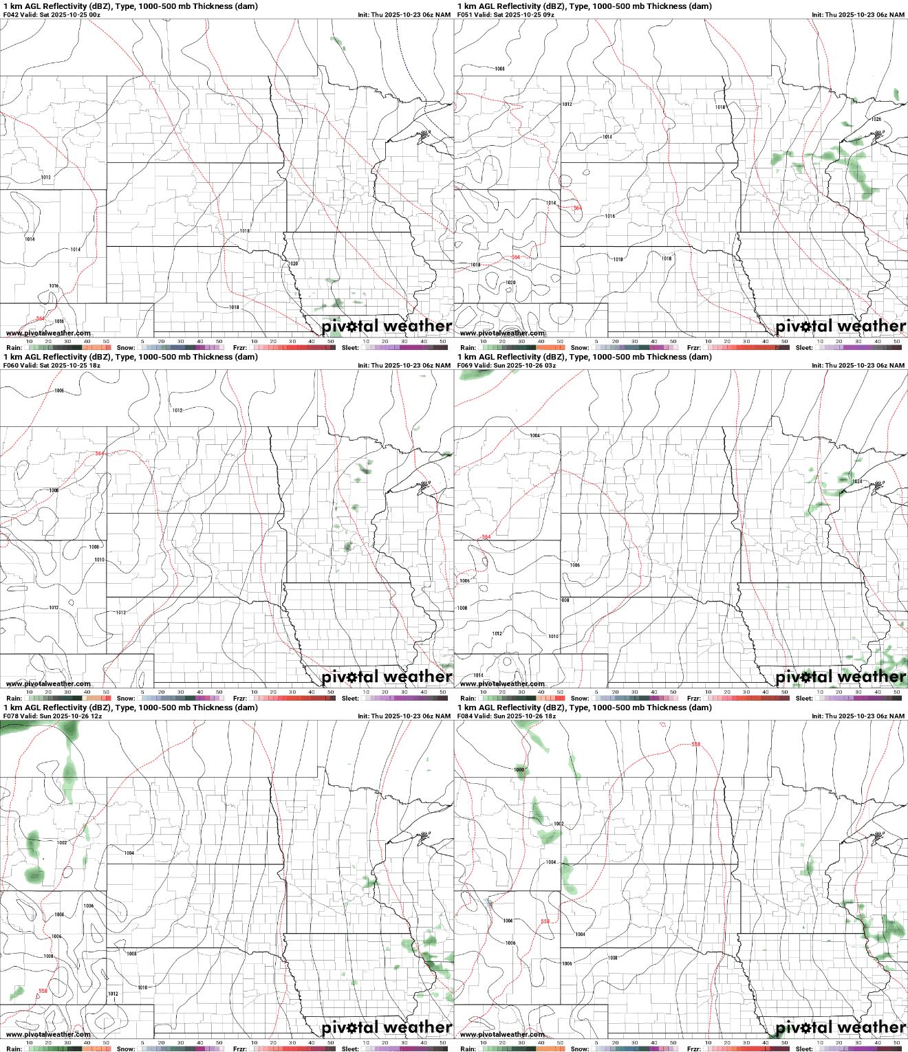
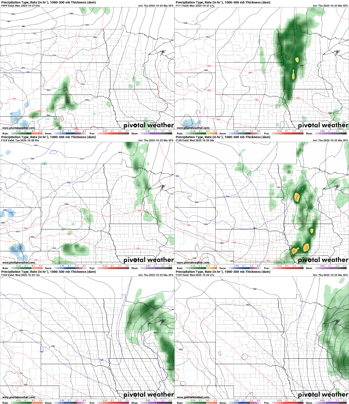
Early next week may yield a more significant chance of rainfall, but forecast models remain divided on how much and where.
Turn Up Your Support
MPR News helps you turn down the noise and build shared understanding. Turn up your support for this public resource and keep trusted journalism accessible to all.

