
Warmer air for the weekend with some rain chances ahead
Highs could be near 60 for many this weekend
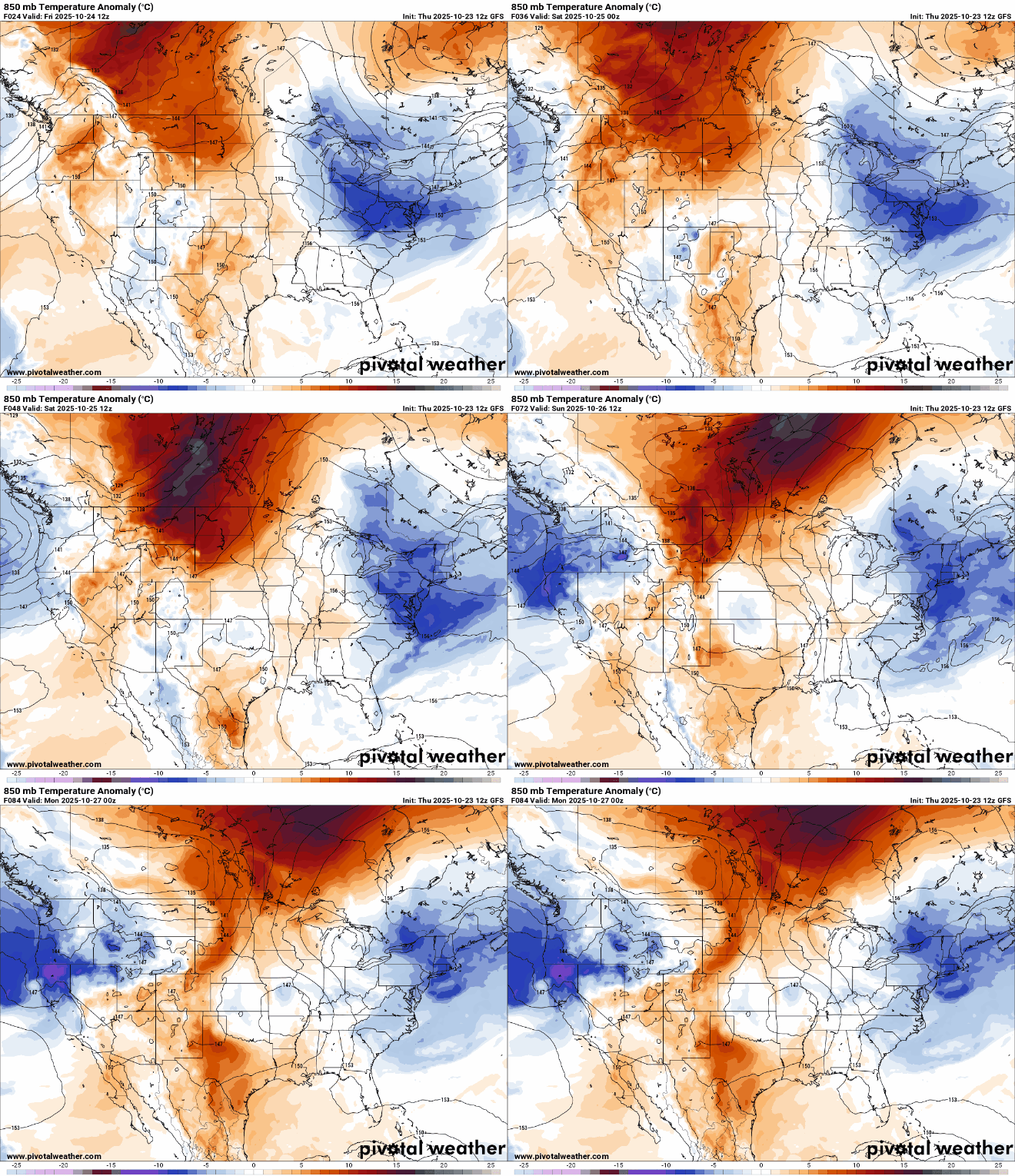
Go Deeper.
Create an account or log in to save stories.
Like this?
Thanks for liking this story! We have added it to a list of your favorite stories.


It’s a cold start early Friday. We’ll see sunshine and warmer afternoon highs later in the day. Temperatures will trend upward into the weekend. We have a couple rain chances ahead as well.
After a cold start, sunshine and warmer for Friday afternoon
It was a frosty one out there early Friday morning. Many areas woke up to temperatures in the 20s to near freezing in eastern Minnesota and western Wisconsin. There were numerous locations in northeastern Minnesota that fell into the upper teens early Friday:

The Twin Cities finally saw its first official frost-freeze.
Minneapolis-St. Paul International Airport and St. Paul both dipped to 30 degrees early Friday morning. This makes for a whopping 199-day growing season — two days above average for even Kansas City, Mo.!
Turn Up Your Support
MPR News helps you turn down the noise and build shared understanding. Turn up your support for this public resource and keep trusted journalism accessible to all.
Even in the suburbs, away from the most direct influence of the urban heat island, the growing season ended up at 180 to 187 days. The 1991-2020 average for the growing season is 172 days for Minneapolis-St. Paul and 155 days for most suburbs.

We’ll see plenty of sun Friday with partly cloudy skies and the warmest afternoon since Monday.

Friday night won’t be nearly as cold with overnight lows mostly in the 40s and 30s as clouds increase with the advancing clipper system. Look for a few isolated to spotty showers Friday night and Saturday in portions of Minnesota.
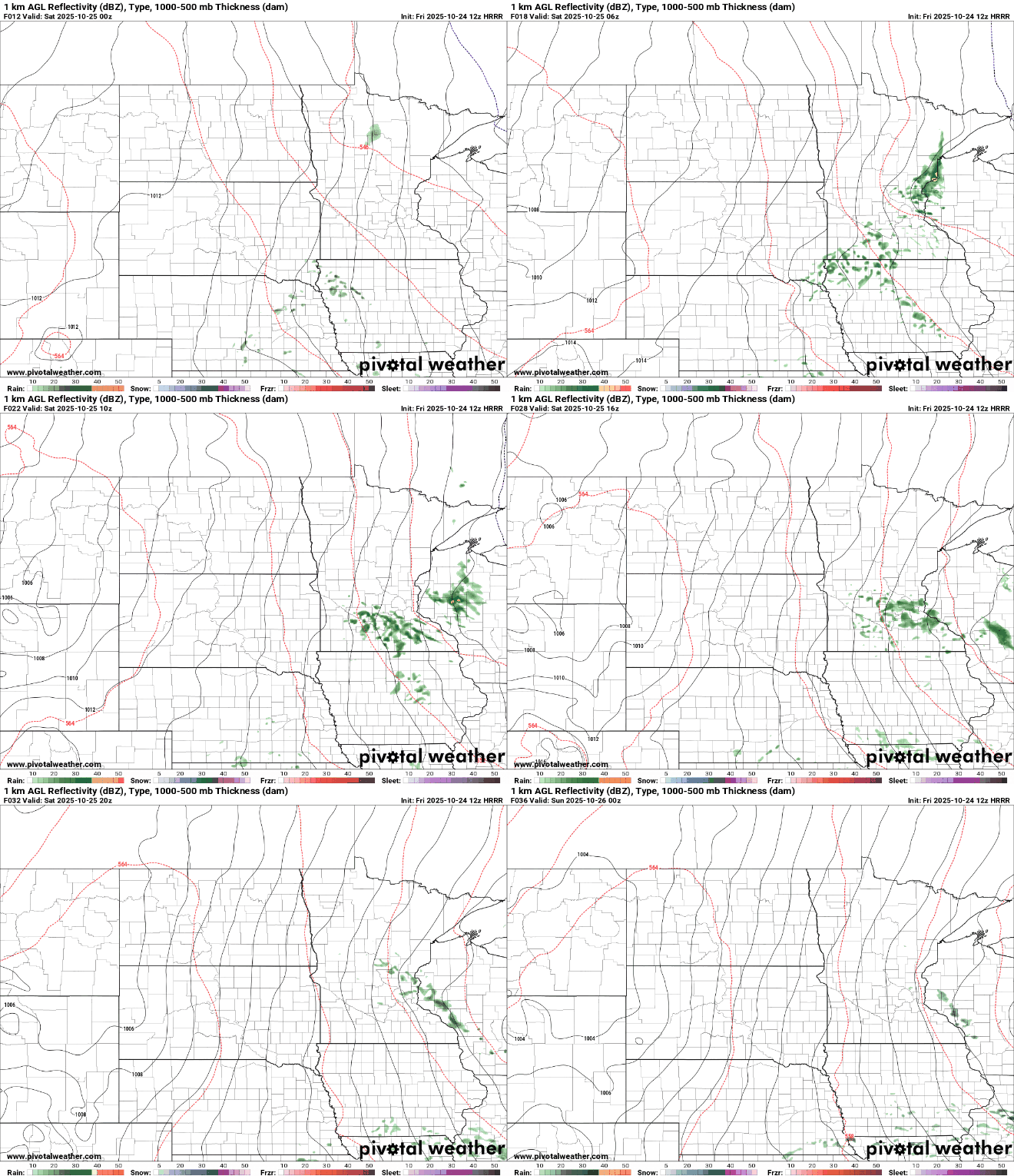
Highs Saturday will be mostly in the 50s with some low 60s west. Sunday will be warmer and a bit brighter with highs near or above 60 degrees across much of central, southern and western Minnesota.

Next week we’ll be looking at a potentially more significant system that could produce rainfall Monday into Tuesday and early Wednesday. Parts of Minnesota may see more than one-half inch of rainfall.
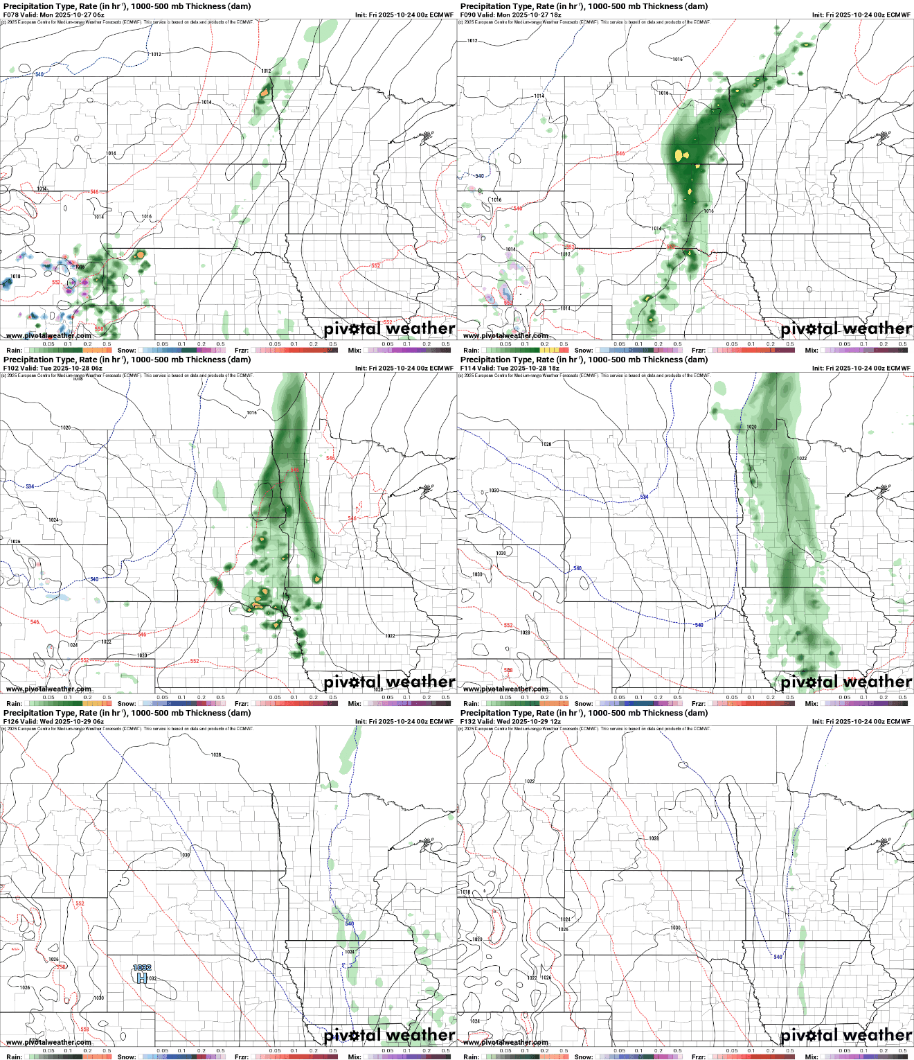
We could use the rain as the latest drought monitor shows 64 percent of the state is abnormally dry.

