
Clouds give way Saturday night; bright and mild Sunday ahead
A breezy finish to the weekend
Go Deeper.
Create an account or log in to save stories.
Like this?
Thanks for liking this story! We have added it to a list of your favorite stories.


After a cloudy start to the weekend, skies clear Saturday night as breezy winds continue into Sunday, bringing sunshine and comfortable 60s.
Clearing skies lead to sunny Sunday
After a cloudy and rainy start to the weekend, skies will clear late Saturday night into Sunday. Overnight lows will dip into the mid-40s around the Twin Cities, with low to mid-40s across central and southern Minnesota. Along the North Shore, temperatures will be a bit cooler, falling into the upper 30s.

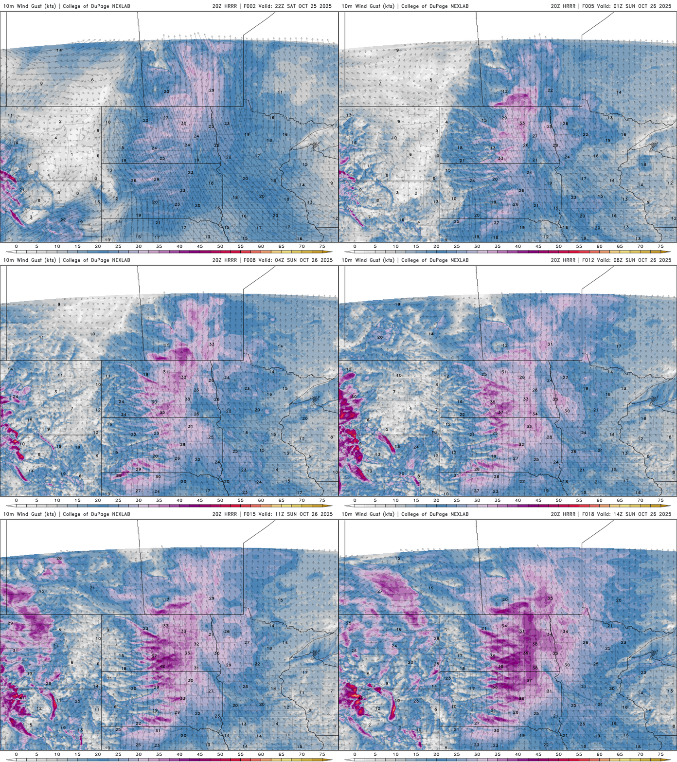
Winds will continue out of the southeast through Sunday, with higher gusts over 25-30 mph expected across western Minnesota.
More sunshine on Sunday will help boost temperatures into the low 60s for the metro and southern Minnesota, and into the mid-60s out west.

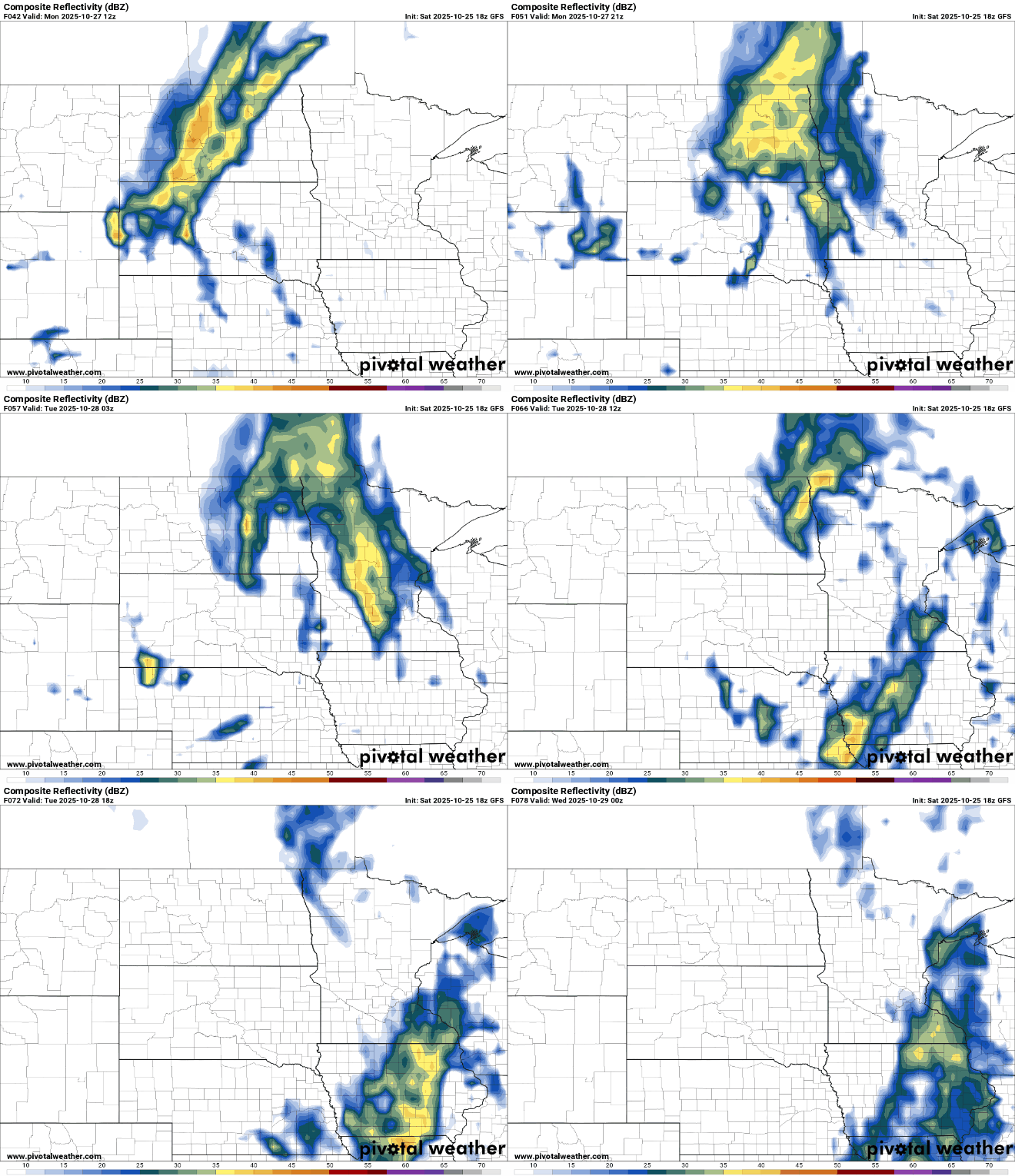
Clouds will increase on Monday as our next system approaches. Temperatures will run a bit above seasonal averages, with gusty winds continuing through the day.
There is a chance for rain showers developing late Monday and continuing into Tuesday night. While the details of this next system remain uncertain, it could bring some much-needed precipitation to the region.
Turn Up Your Support
MPR News helps you turn down the noise and build shared understanding. Turn up your support for this public resource and keep trusted journalism accessible to all.

