
Cool, cloudy, and gloomy start to the weekend
Warmer temperatures expected Sunday
Go Deeper.
Create an account or log in to save stories.
Like this?
Thanks for liking this story! We have added it to a list of your favorite stories.


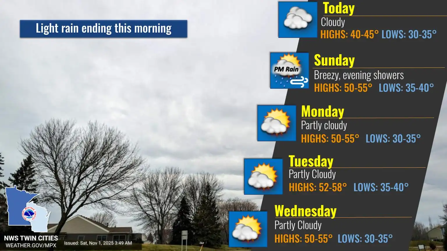
A blanket of gray clouds hovers over the state Saturday, with cool temperatures lingering in the 40s. Brighter skies and more seasonal warmth arrive Sunday.
Cooler and cloudy
After a soggy and dreary Halloween, November begins on a cooler and cloudier note. Lingering cloud cover from a system to our south will keep temperatures on the cool side Saturday, topping out in the lower to mid-40s.

reas of light rain and drizzle may linger across portions of southeastern and south-central Minnesota through the afternoon, gradually clearing out by Saturday night.
Turn Up Your Support
MPR News helps you turn down the noise and build shared understanding. Turn up your support for this public resource and keep trusted journalism accessible to all.
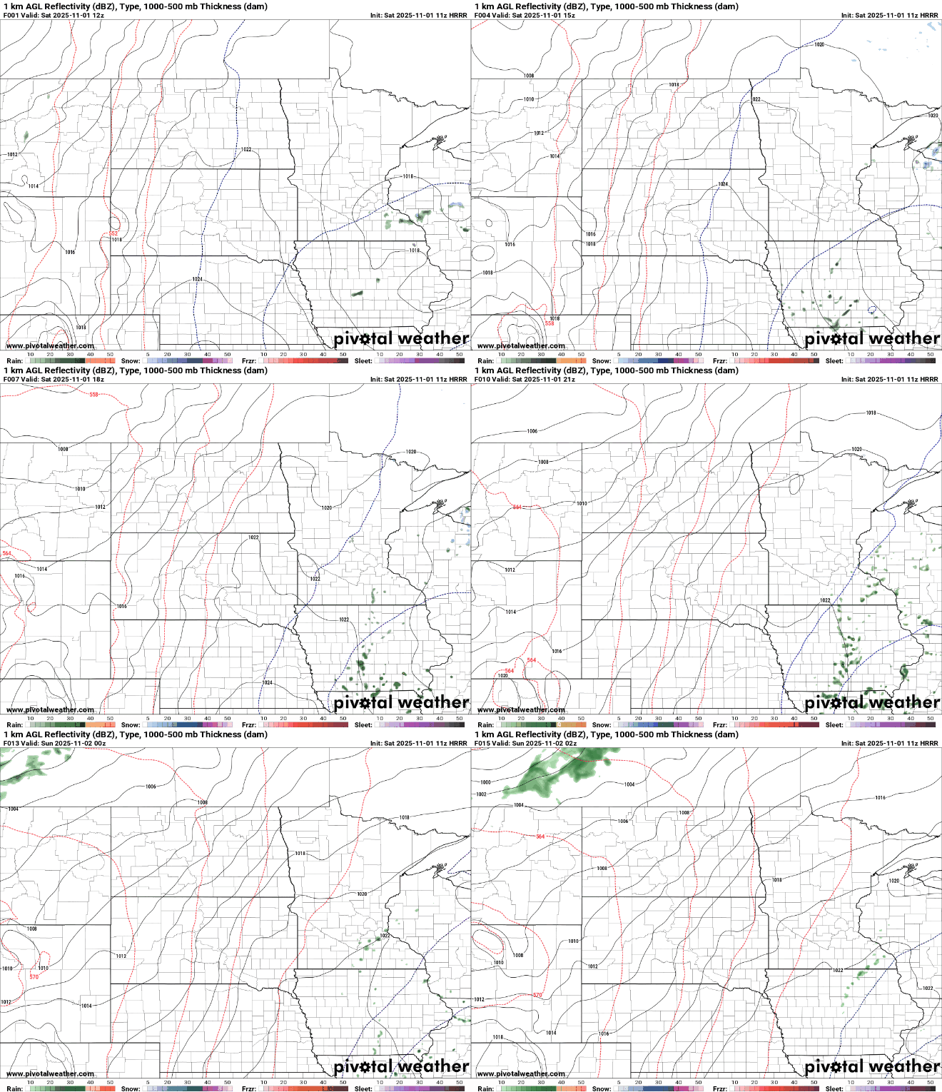
A brighter start to Sunday is expected, with sunshine returning and highs climbing back to around our seasonal average in the upper 40s to low 50s.

An active upper-air pattern will bring several waves through the region next week, though only light rain is expected. The next chance for precipitation arrives Sunday night, mainly for eastern Minnesota into western Wisconsin.
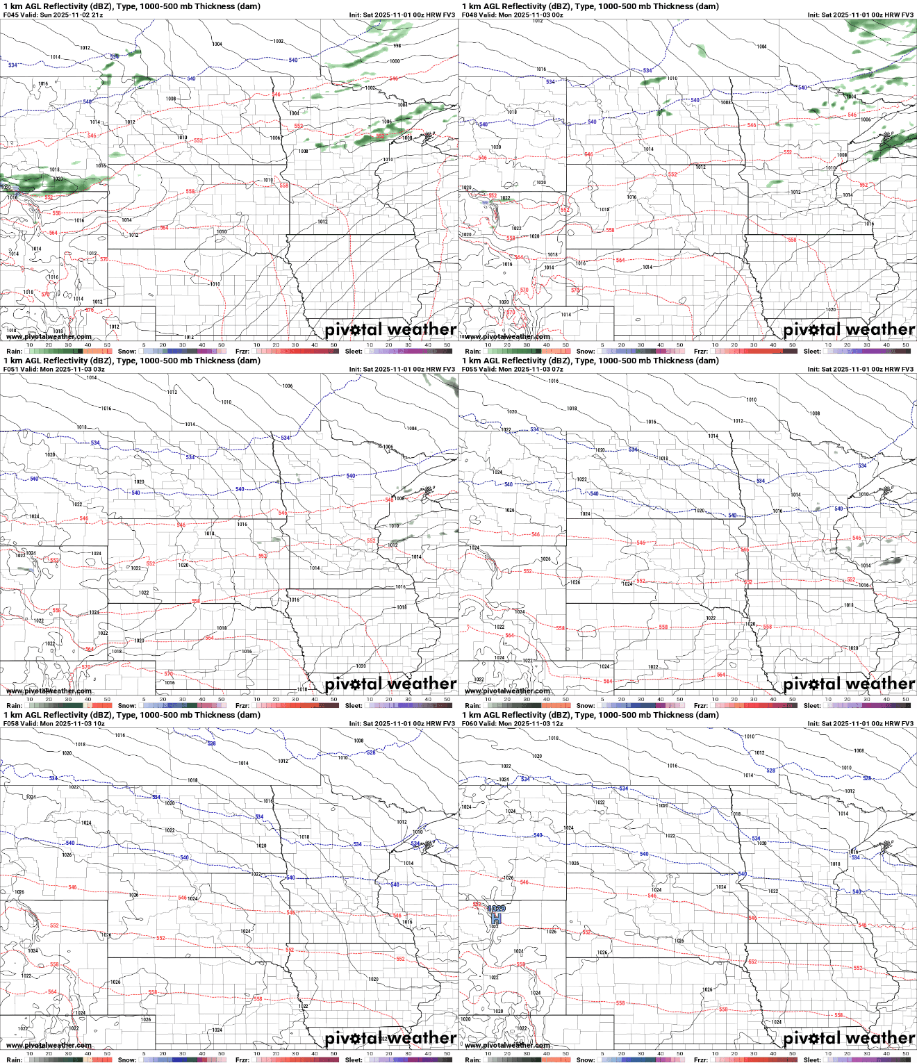
Despite multiple disturbances moving through, our temperatures will trend on the warmer side next week with above average highs in the 50s, and even some 60s popping up on the maps in southwestern Minnesota.

November is starting out on a mild note, with no snow expected at this time.

