
Mild week in store as winds continue into Monday
Mainly dry next week
Go Deeper.
Create an account or log in to save stories.
Like this?
Thanks for liking this story! We have added it to a list of your favorite stories.


A busy upper air pattern will keep weather systems moving through the region, but most areas will stay mild and mainly dry this week, with gusty winds lingering through Monday.
Windy night ahead
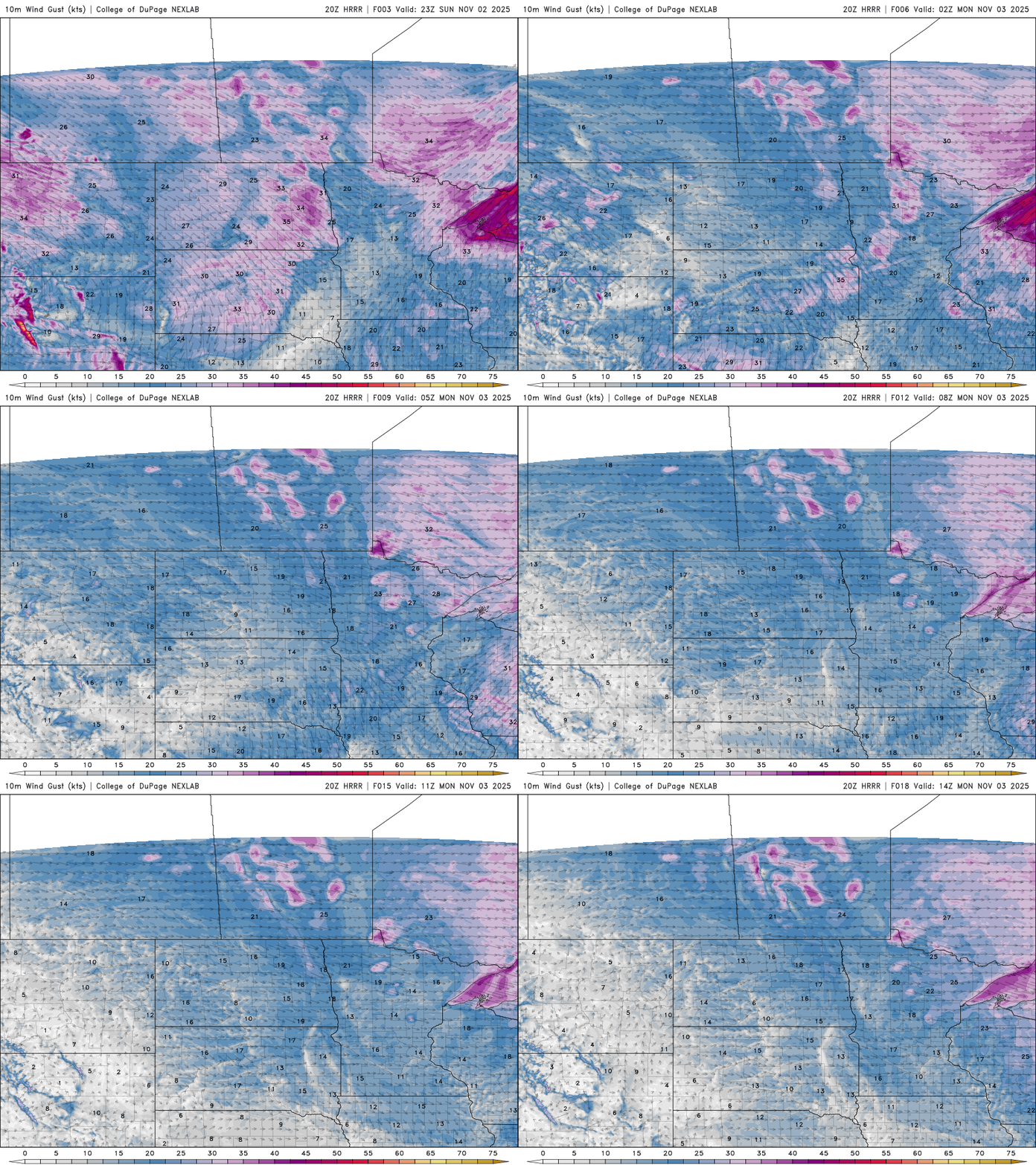
Gusty south-southwesterly winds will continue through Sunday evening, lingering into Monday. Winds on Monday are expected to range from 10 to 20 mph, with gusts up to 25 mph before easing later in the day.
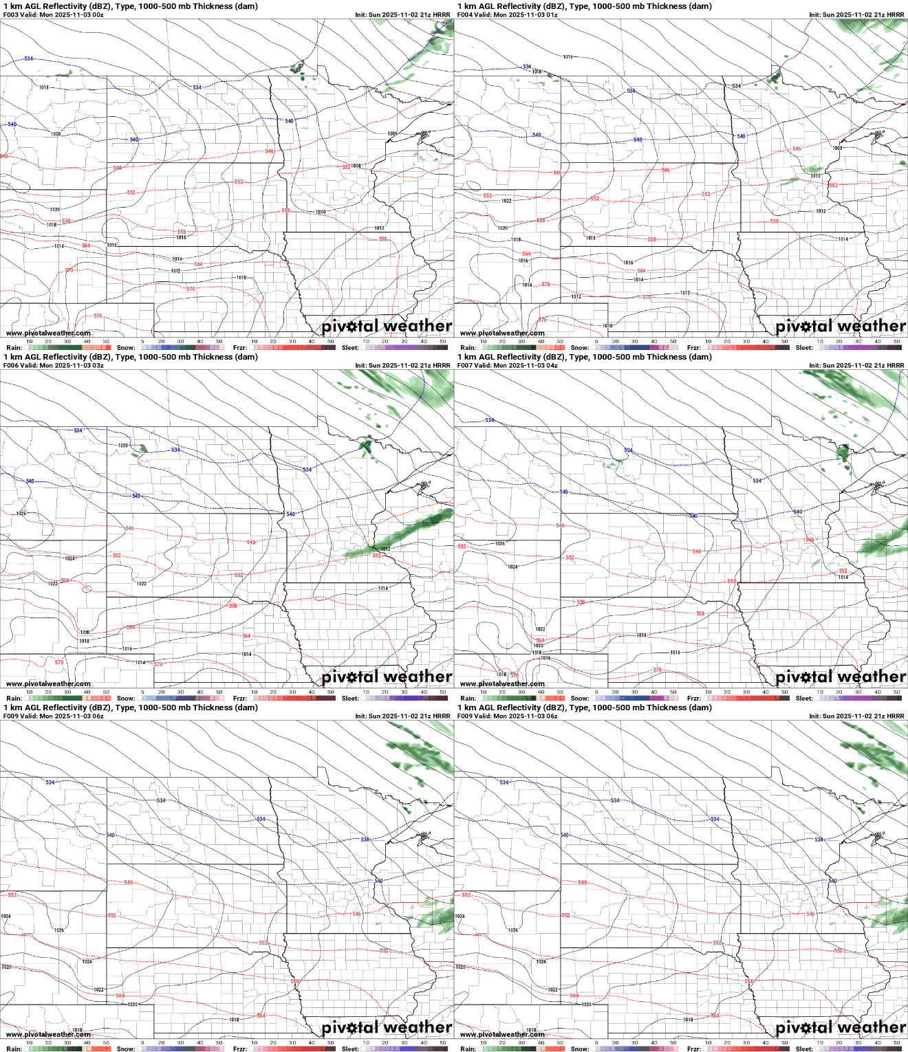
A dry cold front is moving southeast through the state Sunday night, bringing some increased cloud cover and a wind shift to the northwest. Lows will drop into the mid to upper 30s.

Western Wisconsin could possibly see some stray light showers from the frontal passage but most will stay dry.
A mild weather pattern sets up this week with our jet stream keeping cooler temperatures up north in Canada. Look for above average highs in the 50s, and even low 60s showing up in southwestern Minnesota.

Along with the mild temperatures, we’ll see an active upper air pattern, with multiple systems moving through from Wednesday into the upcoming weekend. While no major precipitation makers are expected, next weekend’s system could draw in some cooler air, bringing the chance for a bit of mixed precipitation.
Turn Up Your Support
MPR News helps you turn down the noise and build shared understanding. Turn up your support for this public resource and keep trusted journalism accessible to all.

