
High pressure brings abundant sun Wednesday, but big changes ahead
Much colder air with rain and snow this weekend
Go Deeper.
Create an account or log in to save stories.
Like this?
Thanks for liking this story! We have added it to a list of your favorite stories.


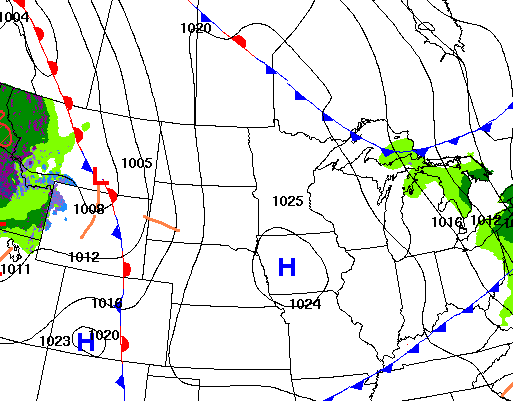
High pressure is building back into Minnesota bringing more sunshine Wednesday. We’ll still be mild, but colder air moves in this weekend along with rain and snow showers.
High pressure brings sunshine Wednesday
While Wednesday will be a little cooler than Tuesday, it will still be mild with temperatures averaging 4 to 7 degrees above normal. We’ll have lots of sunshine as high pressure settles in over Minnesota.

Another fast-moving clipper system will increase cloud cover Thursday, but it won’t do a lot in terms of precipitation. Far northern Minnesota is best positioned for some spotty rain or snow showers late Thursday into early Friday.
There could be a little slushy accumulation in the Arrowhead region.
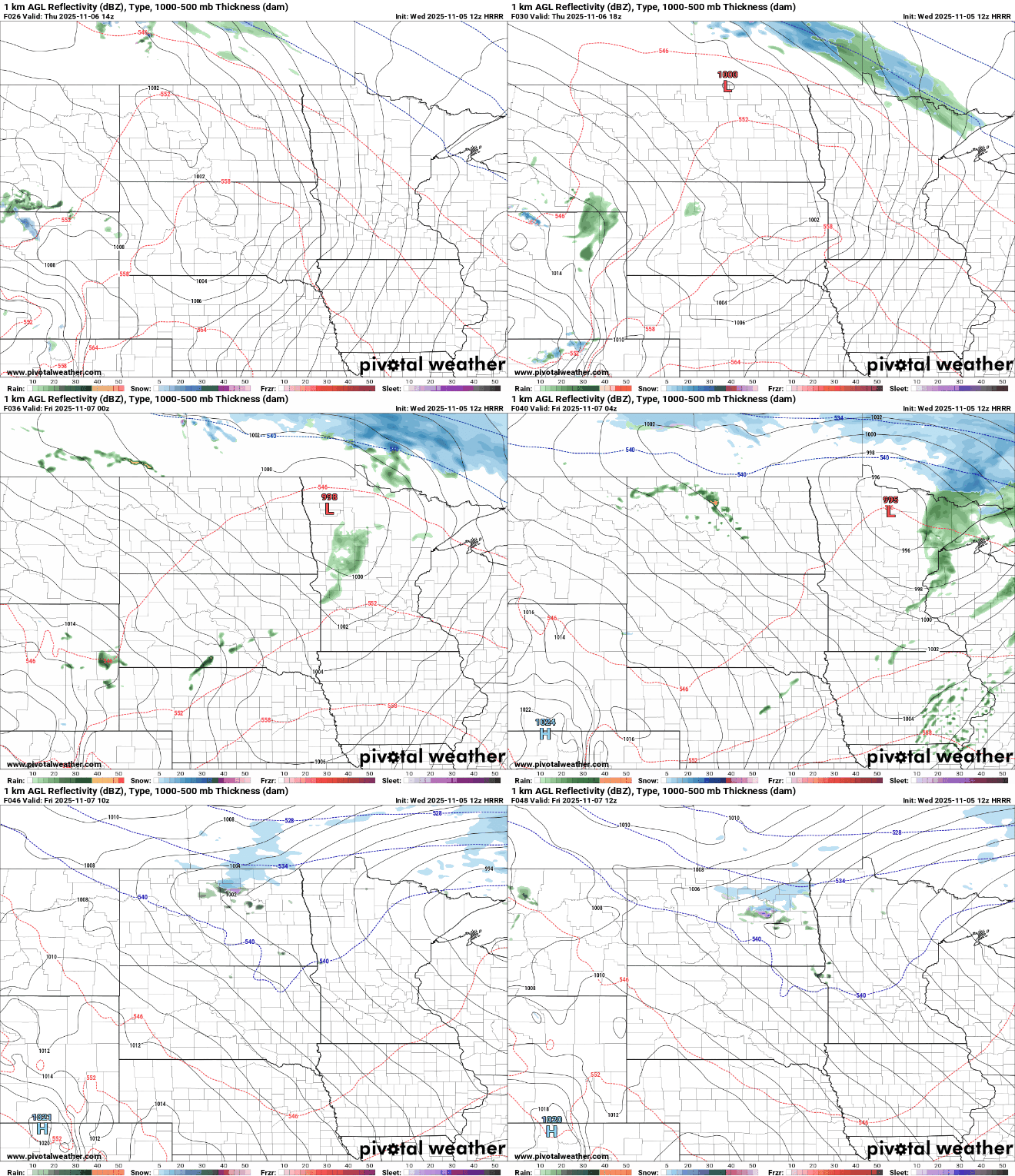
What the disturbance Thursday will do is help to draw in colder air Friday into the weekend. That cold air will help produce a mixture of rain and snow showers with the next system moving in Saturday into Saturday night.
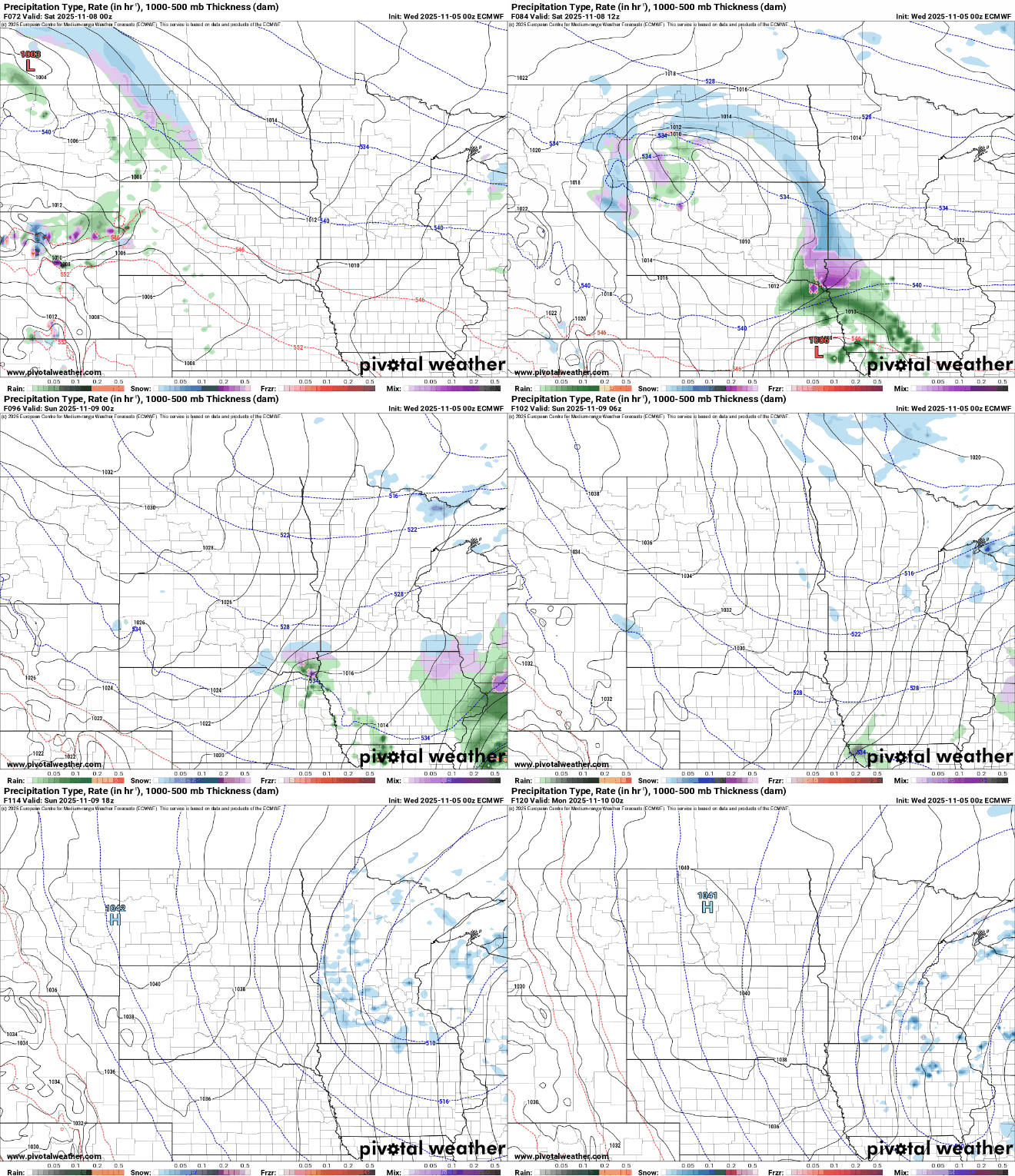
Most forecast models now are narrowing in on far southwestern and southern Minnesota for snowfall accumulation. Areas along Interstate 90 may see their first slushy accumulations of the season by early Sunday.

Highs Saturday and Sunday will be in the 30s nearly statewide — about 10 degrees colder than normal.

Turn Up Your Support
MPR News helps you turn down the noise and build shared understanding. Turn up your support for this public resource and keep trusted journalism accessible to all.

