
Cold weekend ahead with rain and snow showers
Temperatures will be the season's coldest yet

Go Deeper.
Create an account or log in to save stories.
Like this?
Thanks for liking this story! We have added it to a list of your favorite stories.


The coldest air of the season thus far moves in for the weekend turning rain showers to snow showers. Temperatures bounce to normal by Tuesday again.
Temps drop Friday; rain, snow showers Saturday
Friday will be a cooler day with mostly cloudy skies. It’ll also be breezy with northwest winds 10 to 18 mph and higher gusts. Afternoon highs will range from the 40s south to just near freezing in the northwestern part of the state.

We’ll see a few small, quickly moving clipper systems Friday into Sunday creating occasional rain and snow showers and pull down the coldest air yet this fall season.
The best chance of accumulating snowfall will track across southwestern and southern Minnesota Saturday into Saturday night.
Turn Up Your Support
MPR News helps you turn down the noise and build shared understanding. Turn up your support for this public resource and keep trusted journalism accessible to all.
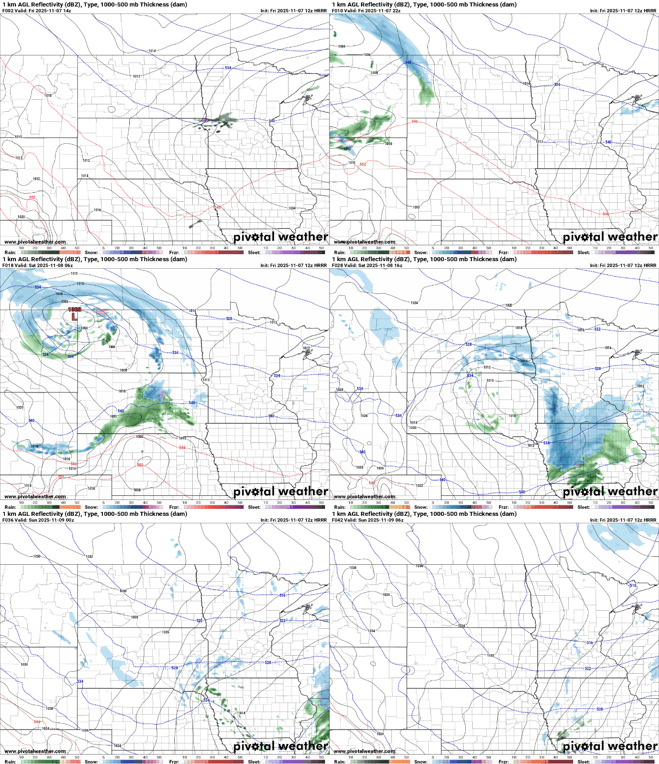
While much of the state will likely see at least a few snow flakes over the course of the weekend, southwestern and southern Minnesota will see the best chance of accumulating snowfall. A few isolated spots could see as much as one-half to 1 inch of slush on grassy areas.

Highs Saturday through Monday will be in just the 30s for most of the state. The coldest day looks to be Sunday with highs struggling to get above freezing.

In addition to the cold highs, overnight lows Saturday and Sunday nights will be in the teens for most with low 20s in the Twin Cities area.

Wind chill values early Sunday and early Monday mornings will be in the single digits and teens only.

Temperatures rebound to normal by Tuesday with brighter skies much of early to midweek and the following week.

